GMC Gellibrand River Estuary Mouth Observation Site
8 March 2013
Observation details
Overview
| Estuary | Gellibrand River Estuary |
|---|---|
| Site | Gellibrand River Estuary Mouth Observation Site |
| Observation ID | #8144 |
| Date and Time | Friday 8th March 2013 11:20am |
| Approved | Approved |
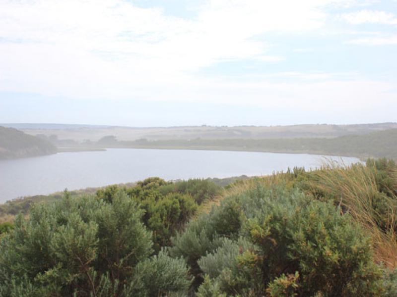
Notes
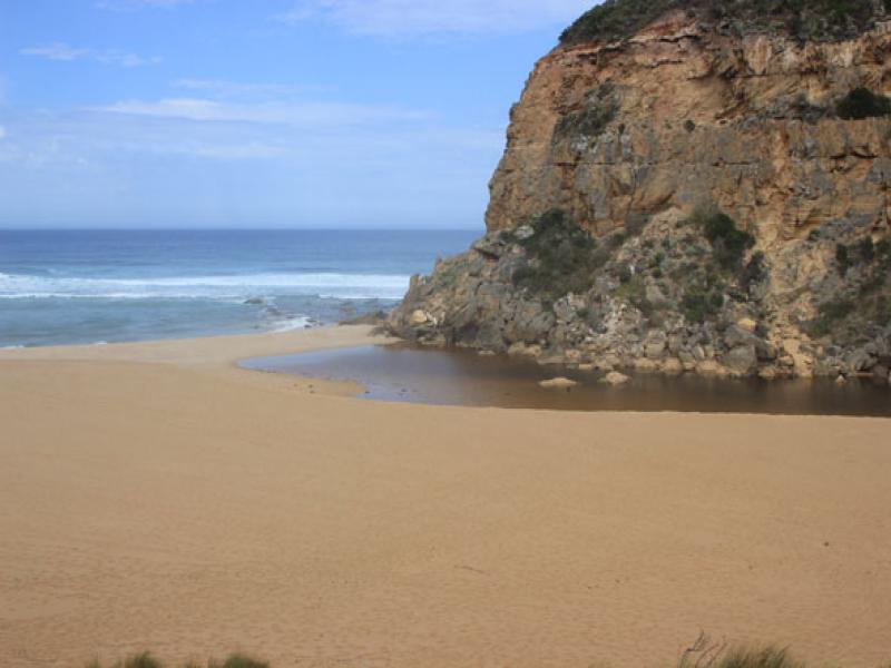
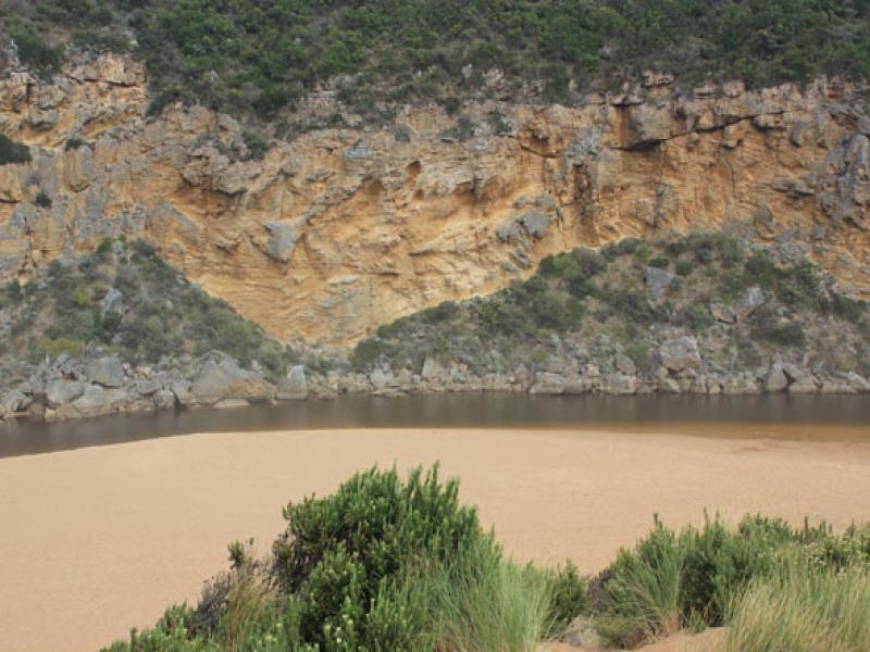
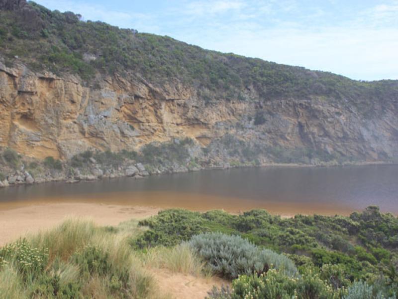
- Beach wide and sloping, sand cliff caused by recent opening being reduced by wave action. Wave action bringing sand into the estuary.
- Berm has extented about 4.5m into the estuary since 06.03.13
- Wave travelling from the S/W are intersecting waves travelling from the N/S. Sand is visible in that area. Refer to drawing on data sheet.
- Only six coots and one pair of pacific gulls at estuary mouth.
- Water over low track but no where else.
We acknowledge and respect Victorian Traditional Owners as the original custodians of Victoria’s land and waters, their unique ability to care for Country and deep spiritual connection to it.
We honour Elders past and present whose knowledge and wisdom has ensured the continuation of culture and traditional practices.
We honour Elders past and present whose knowledge and wisdom has ensured the continuation of culture and traditional practices.
 All content, files, data and images provided by the EstuaryWatch Data Portal subject to a Creative Commons Attribution License
Data portal by CeRDI
All content, files, data and images provided by the EstuaryWatch Data Portal subject to a Creative Commons Attribution License
Data portal by CeRDI