GMC Gellibrand River Estuary Mouth Observation Site
2 March 2013
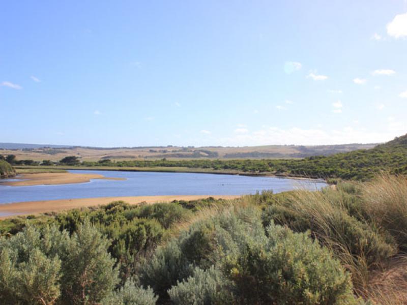
Observation details
Overview
| Estuary | Gellibrand River Estuary |
|---|---|
| Site | Gellibrand River Estuary Mouth Observation Site |
| Observation ID | #8137 |
| Date and Time | Saturday 2nd March 2013 08:55am |
| Approved | Approved |
Notes
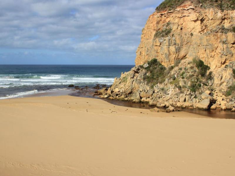
- Dark discharge out east along foreshore then to the south, seems to be following current of beach which is horseshoe shaped, with a gradual slope and every windswept.
- Wave mid way up at last high tide.
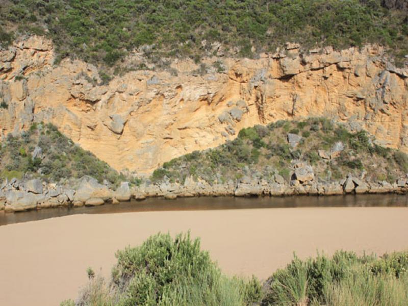
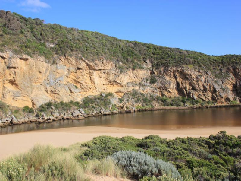
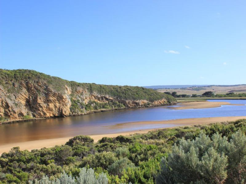
- longshore drift over sand building at mouth into channel which is wider and deeper.
- High sand cliffs (1.20m) remain about 20m east of channel.
- Channel outflow downstream of rocks is very close to cliffs and works its way through rocks below end of cliff.
- No. of birds similar to 01/03/13 but now 12 "fat" cormorants and more ibis.
We acknowledge and respect Victorian Traditional Owners as the original custodians of Victoria’s land and waters, their unique ability to care for Country and deep spiritual connection to it.
We honour Elders past and present whose knowledge and wisdom has ensured the continuation of culture and traditional practices.
We honour Elders past and present whose knowledge and wisdom has ensured the continuation of culture and traditional practices.
 All content, files, data and images provided by the EstuaryWatch Data Portal subject to a Creative Commons Attribution License
Data portal by CeRDI
All content, files, data and images provided by the EstuaryWatch Data Portal subject to a Creative Commons Attribution License
Data portal by CeRDI