GMC Gellibrand River Estuary Mouth Observation Site
22 February 2013
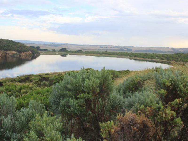
Observation details
Overview
| Estuary | Gellibrand River Estuary |
|---|---|
| Site | Gellibrand River Estuary Mouth Observation Site |
| Observation ID | #8132 |
| Date and Time | Friday 22nd February 2013 07:45am |
| Approved | Approved |
Notes
- ARTIFICIAL PERMIT OPENING complete 10:00am
- No time to take berm measurements. Berm dips in the middle.
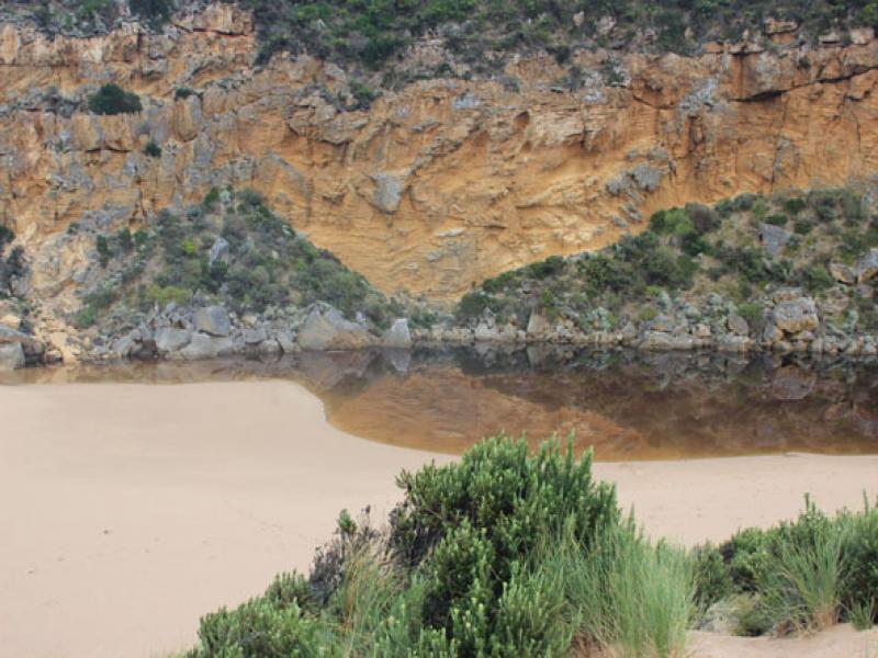
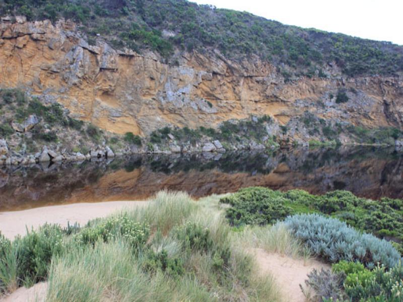
- Water very dark and smelly, algae forming in pools in the wetland.
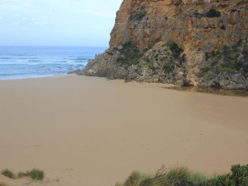
- Beach wide with gradual slope.
- A.O started at 8:50- complete at 10:00.
- Berm had large depression midway.
- Water starting to enter at the west end of the camp ground.
- Strong easterly wind (5) 21/02/13.
- No water over the OCR between camp ground and GOR. Water over OCR south of camp ground.
- slight increase in water on flats upstream.
We acknowledge and respect Victorian Traditional Owners as the original custodians of Victoria’s land and waters, their unique ability to care for Country and deep spiritual connection to it.
We honour Elders past and present whose knowledge and wisdom has ensured the continuation of culture and traditional practices.
We honour Elders past and present whose knowledge and wisdom has ensured the continuation of culture and traditional practices.
 All content, files, data and images provided by the EstuaryWatch Data Portal subject to a Creative Commons Attribution License
Data portal by CeRDI
All content, files, data and images provided by the EstuaryWatch Data Portal subject to a Creative Commons Attribution License
Data portal by CeRDI