GMC Gellibrand River Estuary Mouth Observation Site
3 February 2013
Observation details
Overview
| Estuary | Gellibrand River Estuary |
|---|---|
| Site | Gellibrand River Estuary Mouth Observation Site |
| Observation ID | #8049 |
| Date and Time | Sunday 3rd February 2013 10:10am |
| Approved | Approved |
Notes
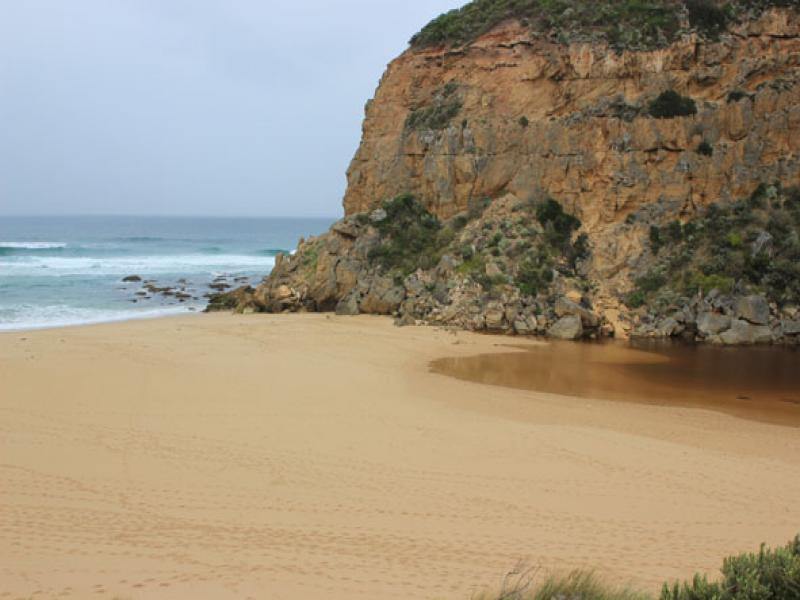
1.Mouth barred
2.Estuary has moved closer to top of berm
3.Beach is now wide with gradual slope, sand cliffs are almost removed by wave action
4.AHD same at G6 & G2 1.38
5.Lots of small fish in flood water near AHD board G2
6.Water just starting to form on side of top track & near flood marker on OOR (below 0.2) road crown above water
7 Water increasing on flats between Princetown G4 & Rivernook (extends further up south side of channel to G5
We acknowledge and respect Victorian Traditional Owners as the original custodians of Victoria’s land and waters, their unique ability to care for Country and deep spiritual connection to it.
We honour Elders past and present whose knowledge and wisdom has ensured the continuation of culture and traditional practices.
We honour Elders past and present whose knowledge and wisdom has ensured the continuation of culture and traditional practices.
 All content, files, data and images provided by the EstuaryWatch Data Portal subject to a Creative Commons Attribution License
Data portal by CeRDI
All content, files, data and images provided by the EstuaryWatch Data Portal subject to a Creative Commons Attribution License
Data portal by CeRDI