GMC Gellibrand River Estuary Mouth Observation Site
14 September 2012
Observation details
Overview
| Estuary | Gellibrand River Estuary |
|---|---|
| Site | Gellibrand River Estuary Mouth Observation Site |
| Observation ID | #7730 |
| Date and Time | Friday 14th September 2012 08:55am |
| Approved | Approved |
Notes
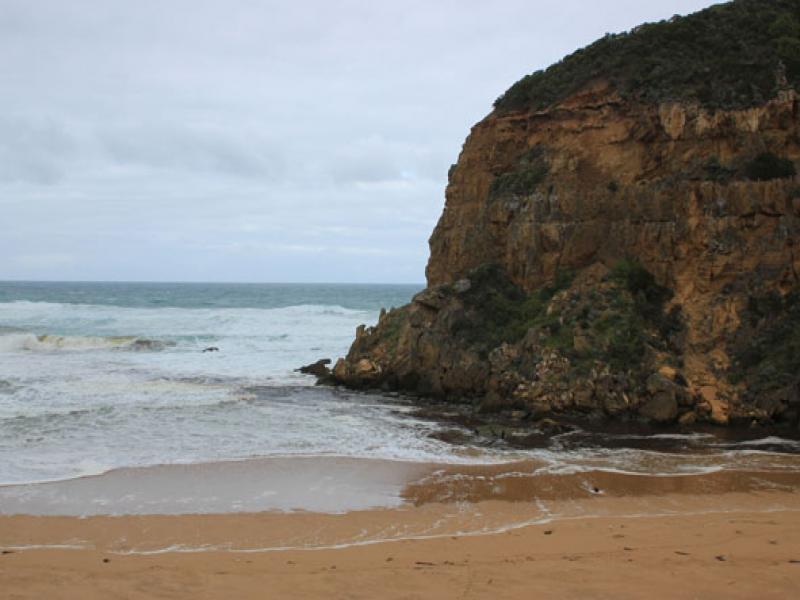
1.Dark discharge flowing out south
2.Waves in all directions at mouth, some entering estuary
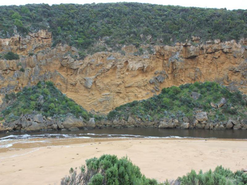
3.Small area of sandbar exposed in estuary
4.Dunes east of channel have been further erroded as has south side of estuary
5.High sand cliffs(mid beach) remain at foot of dunes
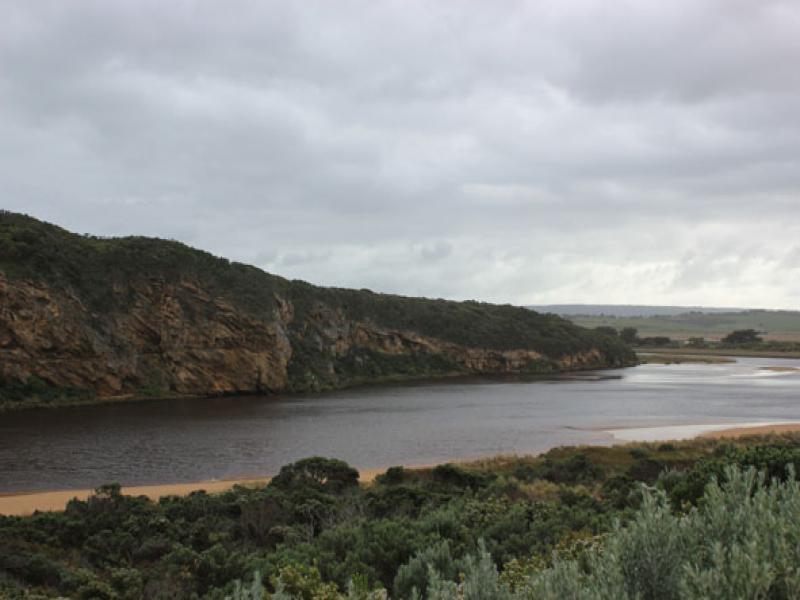
6.Water flowing back & forth behind reeds east side of estuary

We acknowledge and respect Victorian Traditional Owners as the original custodians of Victoria’s land and waters, their unique ability to care for Country and deep spiritual connection to it.
We honour Elders past and present whose knowledge and wisdom has ensured the continuation of culture and traditional practices.
We honour Elders past and present whose knowledge and wisdom has ensured the continuation of culture and traditional practices.
 All content, files, data and images provided by the EstuaryWatch Data Portal subject to a Creative Commons Attribution License
Data portal by CeRDI
All content, files, data and images provided by the EstuaryWatch Data Portal subject to a Creative Commons Attribution License
Data portal by CeRDI