GMC Gellibrand River Estuary Mouth Observation Site
18 August 2012
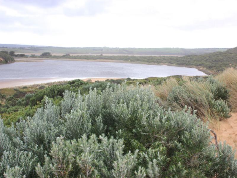
Observation details
Overview
| Estuary | Gellibrand River Estuary |
|---|---|
| Site | Gellibrand River Estuary Mouth Observation Site |
| Observation ID | #7601 |
| Date and Time | Saturday 18th August 2012 10:25am |
| Approved | Approved |
Notes
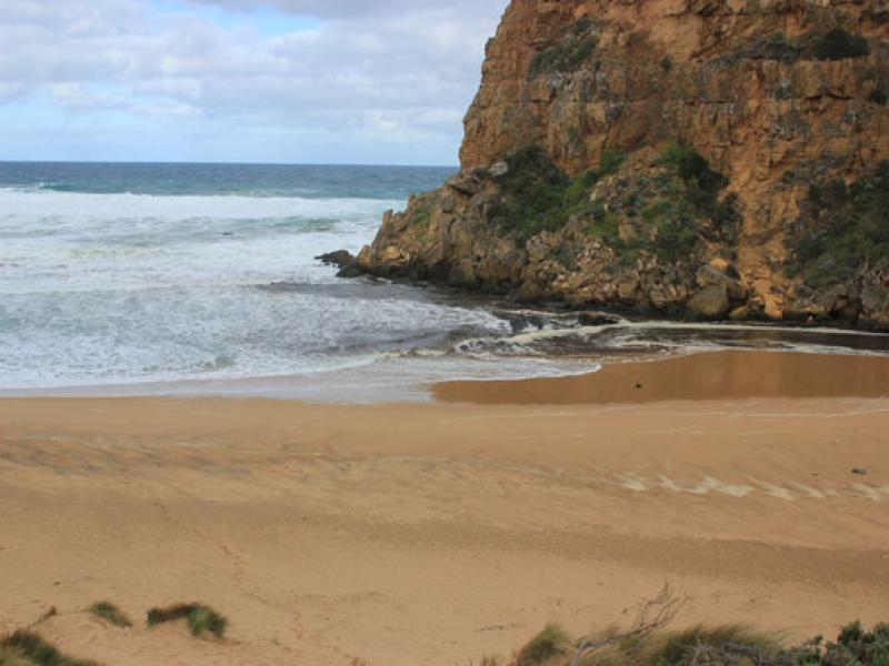
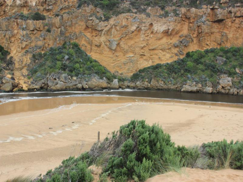
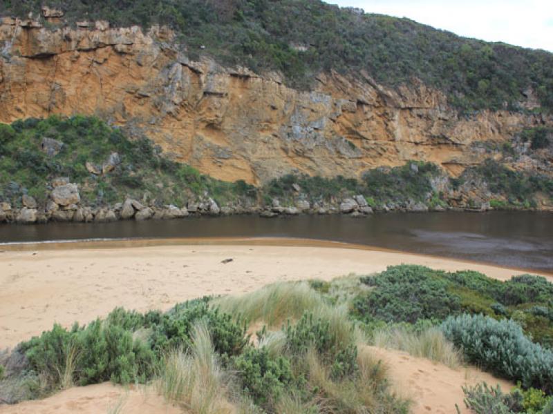
1. Flow out, but waves entering channel & continuing into estuary to north (across sand bar), also turning east & impacting on sand dunes & east side
2.Tide has been up to base of dunes on ocean beach, dark scum & debris along swash line also deep ripples in sand where longshore drift turns into channel
3.Sand higher with steep face 1.5m about 1/3 east of estuary on ocean beach
We acknowledge and respect Victorian Traditional Owners as the original custodians of Victoria’s land and waters, their unique ability to care for Country and deep spiritual connection to it.
We honour Elders past and present whose knowledge and wisdom has ensured the continuation of culture and traditional practices.
We honour Elders past and present whose knowledge and wisdom has ensured the continuation of culture and traditional practices.
 All content, files, data and images provided by the EstuaryWatch Data Portal subject to a Creative Commons Attribution License
Data portal by CeRDI
All content, files, data and images provided by the EstuaryWatch Data Portal subject to a Creative Commons Attribution License
Data portal by CeRDI