GMC Gellibrand River Estuary Mouth Observation Site
4 August 2012
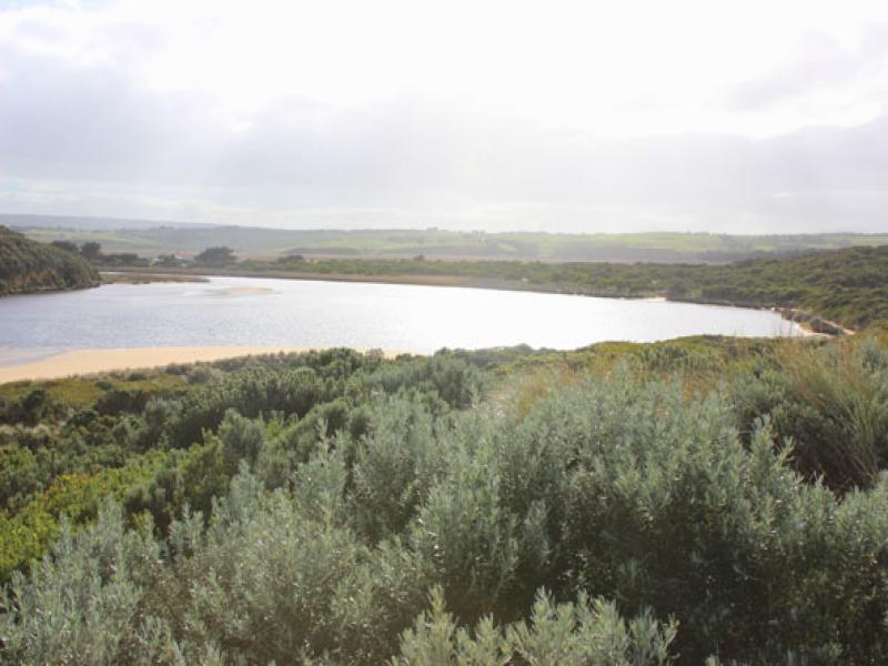
Observation details
Overview
| Estuary | Gellibrand River Estuary |
|---|---|
| Site | Gellibrand River Estuary Mouth Observation Site |
| Observation ID | #7541 |
| Date and Time | Saturday 4th August 2012 09:50am |
| Approved | Approved |
Notes
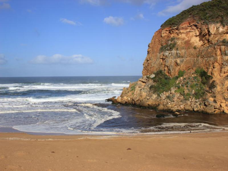
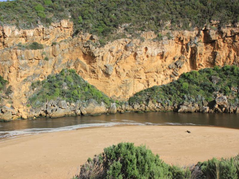
1. Dark discharge out only around mouth
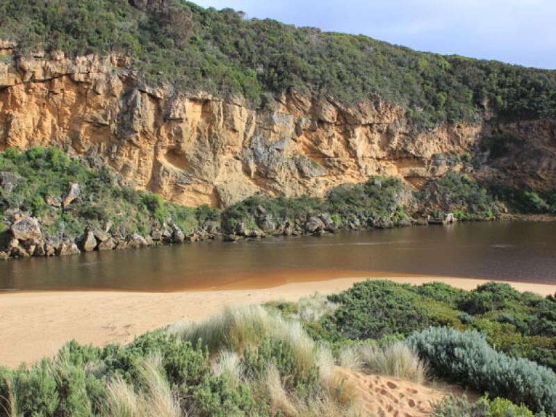
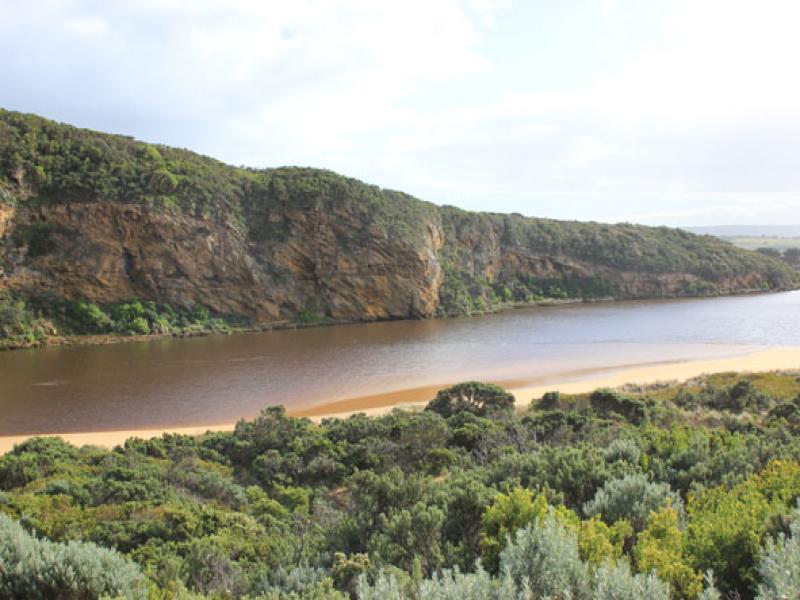
2.Entrance wide but narrows just upstream of rocks then widens into estuary
3.Waves entering estuary -sandbar exposed.
4.Beach wide & slopping curving in toward dunes at east end
5. Height of sand near entrance has been lowered. Sand has been shifted into channel near rocks. Highest part of beach is now midway.
We acknowledge and respect Victorian Traditional Owners as the original custodians of Victoria’s land and waters, their unique ability to care for Country and deep spiritual connection to it.
We honour Elders past and present whose knowledge and wisdom has ensured the continuation of culture and traditional practices.
We honour Elders past and present whose knowledge and wisdom has ensured the continuation of culture and traditional practices.
 All content, files, data and images provided by the EstuaryWatch Data Portal subject to a Creative Commons Attribution License
Data portal by CeRDI
All content, files, data and images provided by the EstuaryWatch Data Portal subject to a Creative Commons Attribution License
Data portal by CeRDI