GMC Gellibrand River Estuary Mouth Observation Site
22 June 2012
Observation details
Overview
| Estuary | Gellibrand River Estuary |
|---|---|
| Site | Gellibrand River Estuary Mouth Observation Site |
| Observation ID | #7342 |
| Date and Time | Friday 22nd June 2012 11:05am |
| Approved | Approved |
Notes
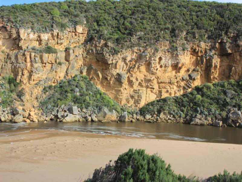
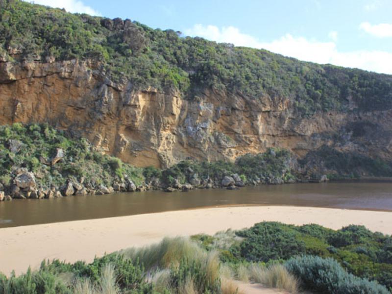
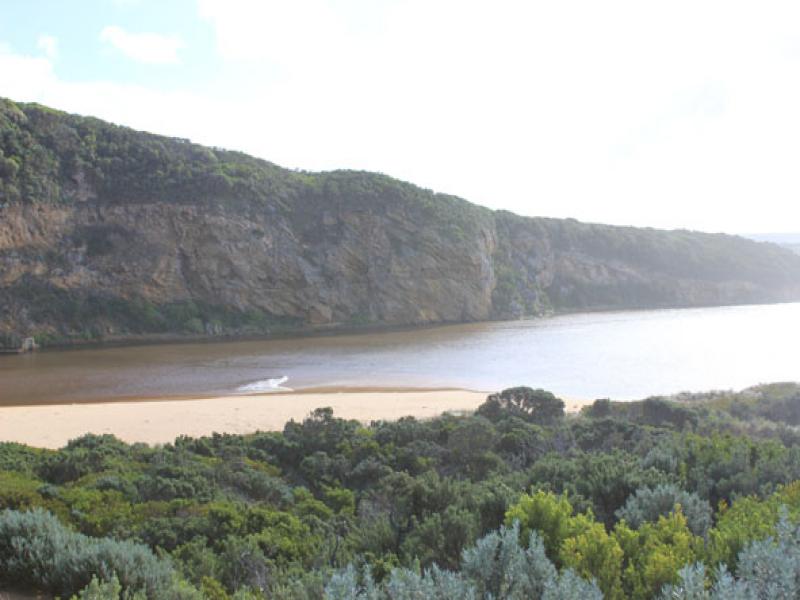
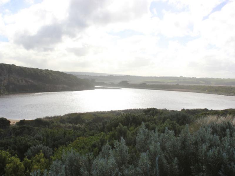
1. Dark discharge flowing out around mouth
2. Wind driven sand & waves bringing more sand to mouth build up near rocks has increased reducing outflow on east side
3.Waves entering & scouring out southside of estuary moving 7m. long log about 30m. to east
4. Formerly high banks to channel & beach reduced from wave action
5. Dunes changing shape with wind action

We acknowledge and respect Victorian Traditional Owners as the original custodians of Victoria’s land and waters, their unique ability to care for Country and deep spiritual connection to it.
We honour Elders past and present whose knowledge and wisdom has ensured the continuation of culture and traditional practices.
We honour Elders past and present whose knowledge and wisdom has ensured the continuation of culture and traditional practices.
 All content, files, data and images provided by the EstuaryWatch Data Portal subject to a Creative Commons Attribution License
Data portal by CeRDI
All content, files, data and images provided by the EstuaryWatch Data Portal subject to a Creative Commons Attribution License
Data portal by CeRDI