GMC Gellibrand River Estuary Mouth Observation Site
15 June 2012
Observation details
Overview
| Estuary | Gellibrand River Estuary |
|---|---|
| Site | Gellibrand River Estuary Mouth Observation Site |
| Observation ID | #7282 |
| Date and Time | Friday 15th June 2012 08:50am |
| Approved | Approved |
Notes
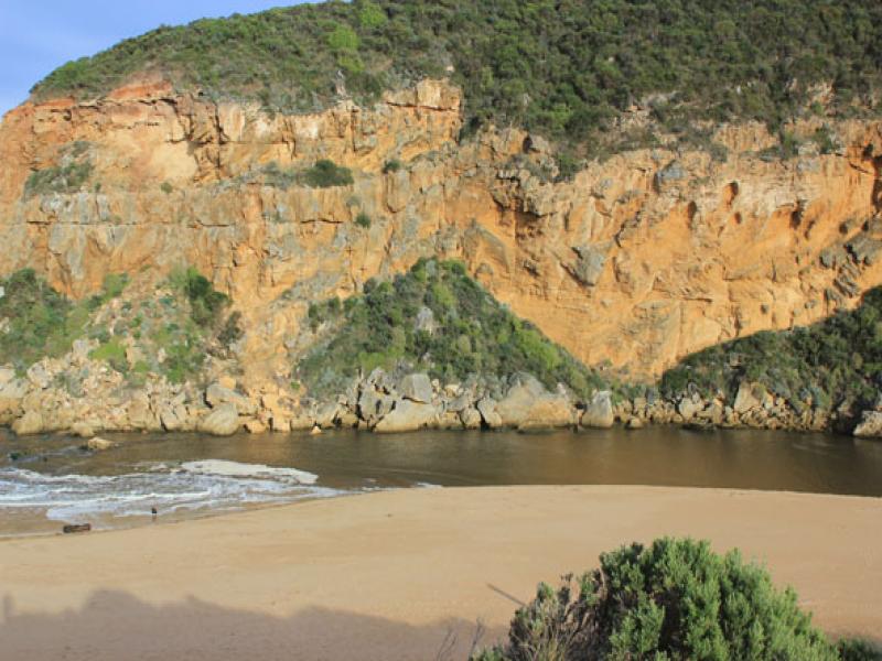
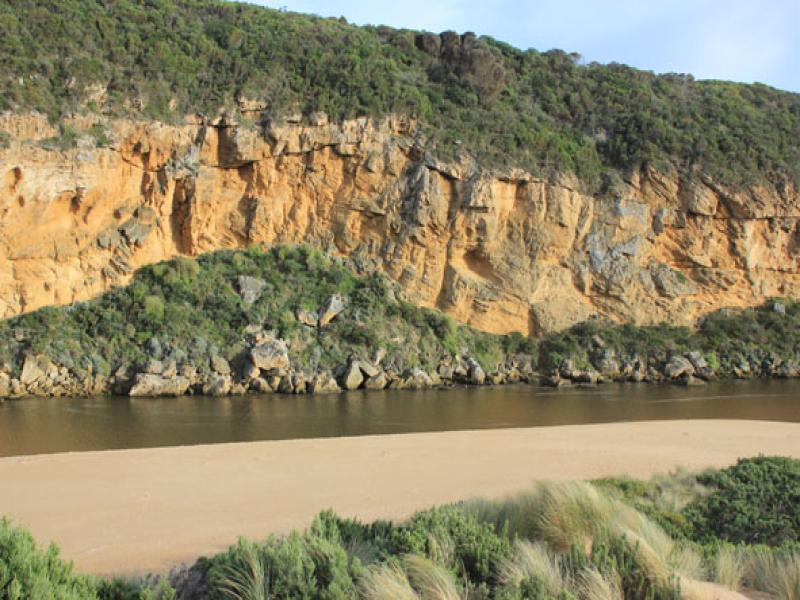
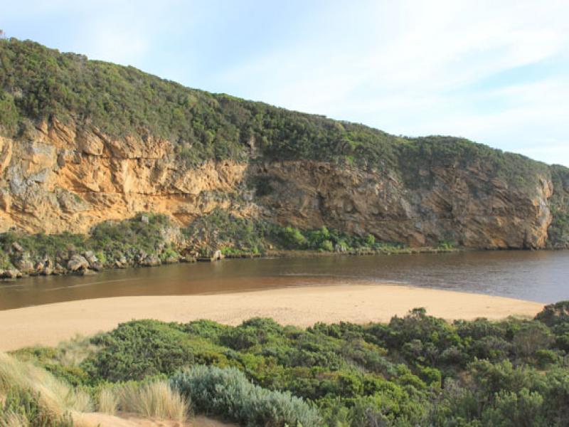
1. Strong outflow curving east of rocks. Flow on both sides. (About 10m.east of rocks)
2.Dark discharge along foreshore to east
3.Channel wide with waves entering & travelling along east side to estuary scouring side of channel which is about 1.5m high near mouth
4.Sea up to dunes at east end of beach with sand area increasing in height & width toward mouth
5.Sand visiable in waves near mouth


We acknowledge and respect Victorian Traditional Owners as the original custodians of Victoria’s land and waters, their unique ability to care for Country and deep spiritual connection to it.
We honour Elders past and present whose knowledge and wisdom has ensured the continuation of culture and traditional practices.
We honour Elders past and present whose knowledge and wisdom has ensured the continuation of culture and traditional practices.
 All content, files, data and images provided by the EstuaryWatch Data Portal subject to a Creative Commons Attribution License
Data portal by CeRDI
All content, files, data and images provided by the EstuaryWatch Data Portal subject to a Creative Commons Attribution License
Data portal by CeRDI