GMC Gellibrand River Estuary Mouth Observation Site
8 June 2012
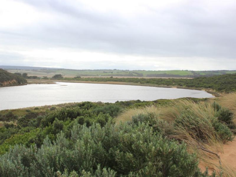
Observation details
Overview
| Estuary | Gellibrand River Estuary |
|---|---|
| Site | Gellibrand River Estuary Mouth Observation Site |
| Observation ID | #7221 |
| Date and Time | Friday 8th June 2012 10:40am |
| Approved | Approved |
Notes
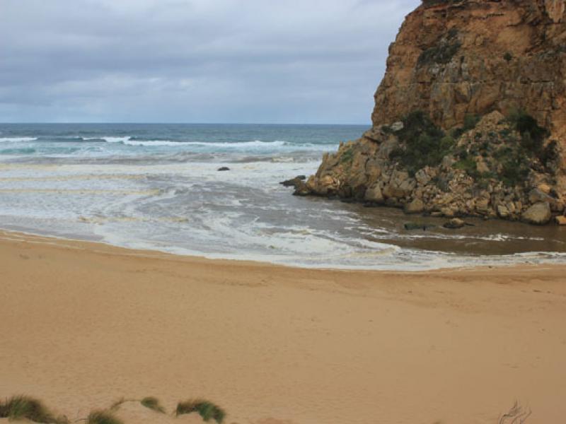
1.Strong outflow from recent rainfall, dark discharge around mouth, along shore to east & along cliffs to west
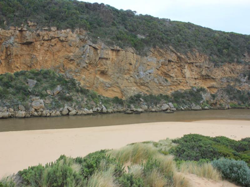
2.Recent increase of flow since 06/06/12. Steep sides to channel (1.- 1.5m) near mouth. Dark silt & brown foam all along beach
3. Water cascading aroung rocks, flow on both sides
4.Waves in all directions at mouth -longshore drift bringing back more sand to mouth
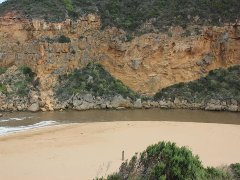
5.Strong wave surges entering channel then swinging east into estuary . Water 'pulsing' upstream past G2
We acknowledge and respect Victorian Traditional Owners as the original custodians of Victoria’s land and waters, their unique ability to care for Country and deep spiritual connection to it.
We honour Elders past and present whose knowledge and wisdom has ensured the continuation of culture and traditional practices.
We honour Elders past and present whose knowledge and wisdom has ensured the continuation of culture and traditional practices.
 All content, files, data and images provided by the EstuaryWatch Data Portal subject to a Creative Commons Attribution License
Data portal by CeRDI
All content, files, data and images provided by the EstuaryWatch Data Portal subject to a Creative Commons Attribution License
Data portal by CeRDI