GMC Gellibrand River Estuary Mouth Observation Site
1 June 2012
Observation details
Overview
| Estuary | Gellibrand River Estuary |
|---|---|
| Site | Gellibrand River Estuary Mouth Observation Site |
| Observation ID | #7201 |
| Date and Time | Friday 1st June 2012 10:00am |
| Approved | Approved |
Notes
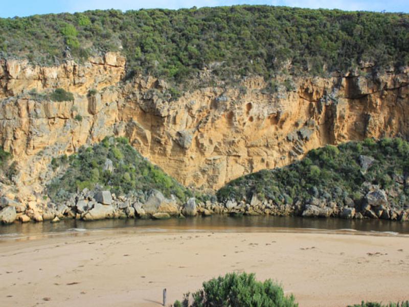
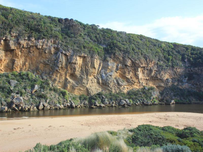
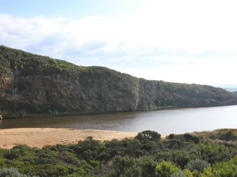
1.Strong out flow, actual channel upstream of rocks only about 5-6m. wide. Water flowing both sides of rocks
2.Dark discharge around mouth
3. Waves travelling from east along shore to mouth then entering estuary
4.Beach has been leveled out - gradual slope to sea
5.Steep front to sand in area toward mouth, highest point now1/3rd. away from mouth, sand has been reduced in height near mouth
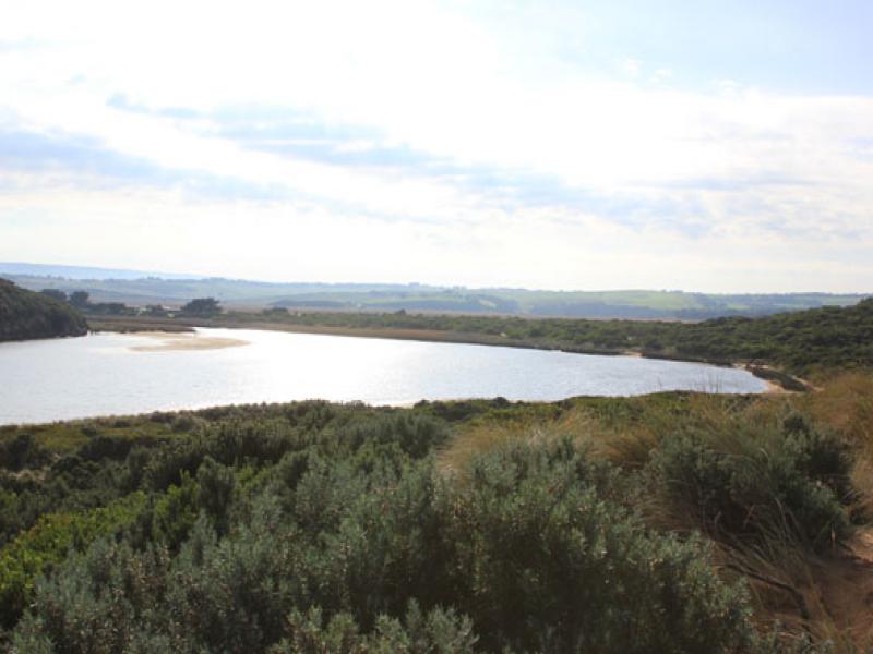
6.Sand bar exposed in estuary

We acknowledge and respect Victorian Traditional Owners as the original custodians of Victoria’s land and waters, their unique ability to care for Country and deep spiritual connection to it.
We honour Elders past and present whose knowledge and wisdom has ensured the continuation of culture and traditional practices.
We honour Elders past and present whose knowledge and wisdom has ensured the continuation of culture and traditional practices.
 All content, files, data and images provided by the EstuaryWatch Data Portal subject to a Creative Commons Attribution License
Data portal by CeRDI
All content, files, data and images provided by the EstuaryWatch Data Portal subject to a Creative Commons Attribution License
Data portal by CeRDI