GMC Gellibrand River Estuary Mouth Observation Site
18 May 2012
Observation details
Overview
| Estuary | Gellibrand River Estuary |
|---|---|
| Site | Gellibrand River Estuary Mouth Observation Site |
| Observation ID | #7143 |
| Date and Time | Friday 18th May 2012 09:05am |
| Approved | Approved |
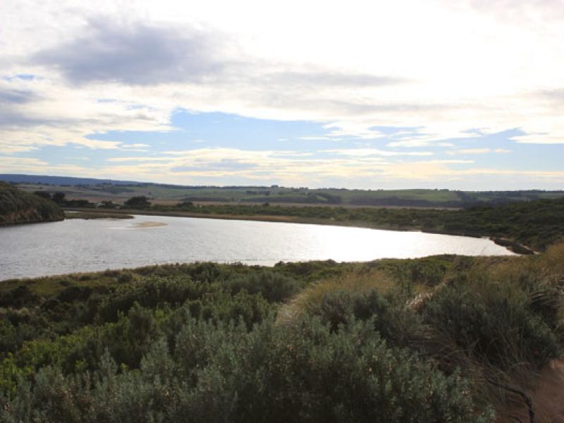
Notes
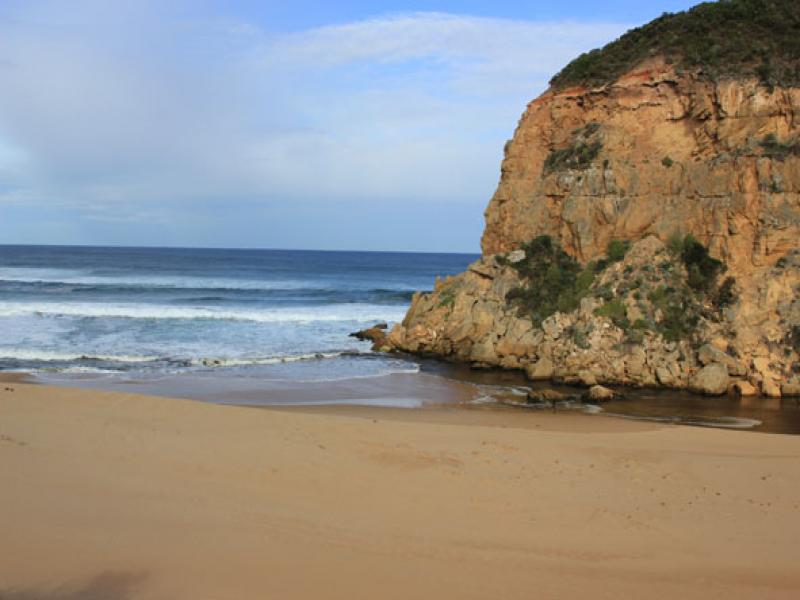
1. Some flow out but waves entering channel - darker discharge only around mouth(shoreline)
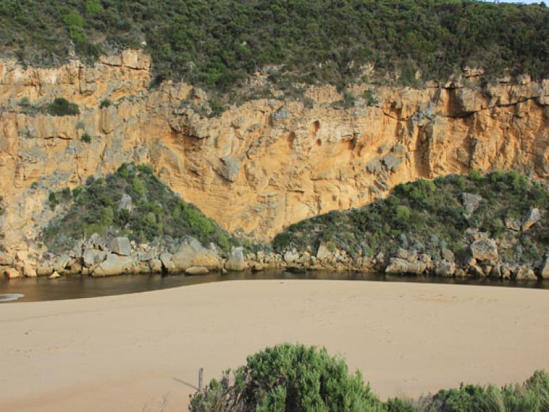
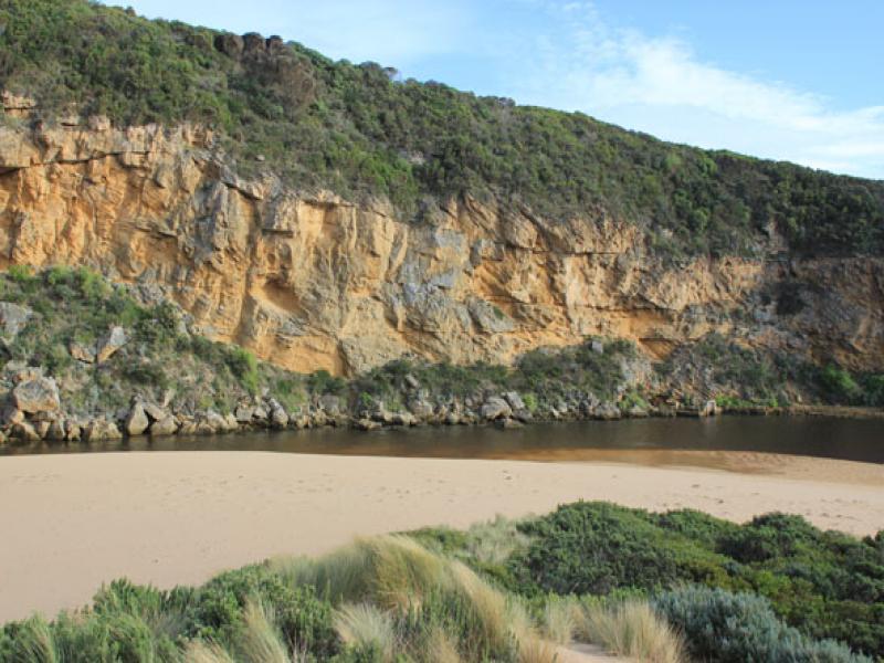
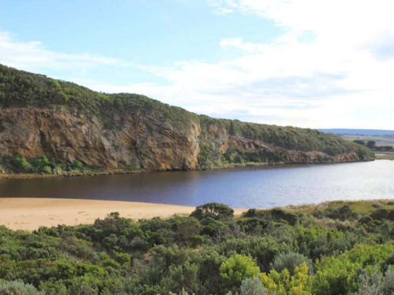
2.Only small amount of flow from upstream
3.Sand build up increased around mouth & rocks.
4. Steep bank to channel (30cm at start up to about 80cm near mouth)
5.High sand east of mouth being eroded by waves - travelling back toward mouth
6. Beach - undulating terraine -highest near mouth
7.Sandbar in estuary exposed but water covering area of low track
We acknowledge and respect Victorian Traditional Owners as the original custodians of Victoria’s land and waters, their unique ability to care for Country and deep spiritual connection to it.
We honour Elders past and present whose knowledge and wisdom has ensured the continuation of culture and traditional practices.
We honour Elders past and present whose knowledge and wisdom has ensured the continuation of culture and traditional practices.
 All content, files, data and images provided by the EstuaryWatch Data Portal subject to a Creative Commons Attribution License
Data portal by CeRDI
All content, files, data and images provided by the EstuaryWatch Data Portal subject to a Creative Commons Attribution License
Data portal by CeRDI