GMC Gellibrand River Estuary Mouth Observation Site
12 May 2012
Observation details
Overview
| Estuary | Gellibrand River Estuary |
|---|---|
| Site | Gellibrand River Estuary Mouth Observation Site |
| Observation ID | #7129 |
| Date and Time | Saturday 12th May 2012 13:00pm |
| Approved | Approved |
Notes
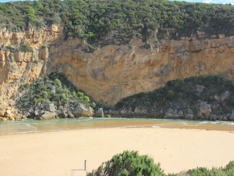
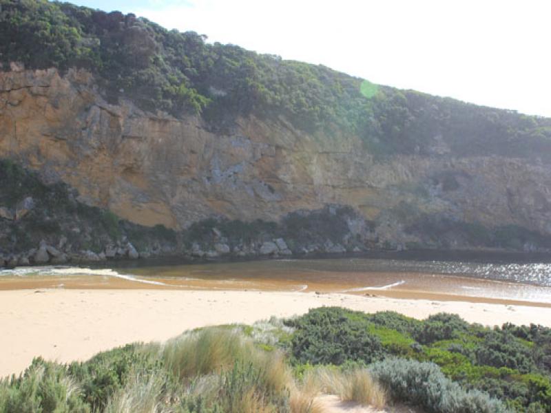
1.Rough sea with waves entering estuary. Salt water visiable moving back & forth almost to tunnel
2.Waves in all directions at mouth,entering to a width of about 30m.
3.Waves impacting on sand build up east of mouth & carrying sand into channel. Sand build up around rocks is decreasing width of channel (about 5m.)
4.Waves along shore from east to west coliding with s.w. swell
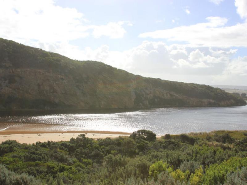
5.Water high on e.side of estuary

We acknowledge and respect Victorian Traditional Owners as the original custodians of Victoria’s land and waters, their unique ability to care for Country and deep spiritual connection to it.
We honour Elders past and present whose knowledge and wisdom has ensured the continuation of culture and traditional practices.
We honour Elders past and present whose knowledge and wisdom has ensured the continuation of culture and traditional practices.
 All content, files, data and images provided by the EstuaryWatch Data Portal subject to a Creative Commons Attribution License
Data portal by CeRDI
All content, files, data and images provided by the EstuaryWatch Data Portal subject to a Creative Commons Attribution License
Data portal by CeRDI