GMC Gellibrand River Estuary Mouth Observation Site
20 April 2012
Observation details
Overview
| Estuary | Gellibrand River Estuary |
|---|---|
| Site | Gellibrand River Estuary Mouth Observation Site |
| Observation ID | #7082 |
| Date and Time | Friday 20th April 2012 08:50am |
| Approved | Approved |
Notes
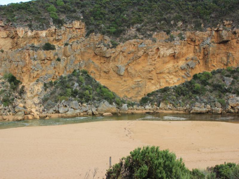
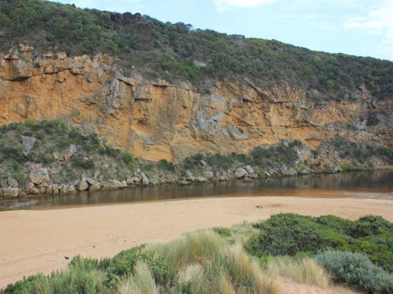
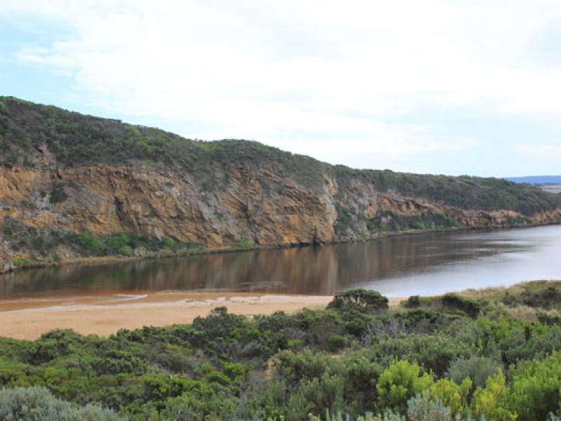
1.Artificial opening 13/04/12
2.Mouth open -salt/waves entering channel & estuary. (water about 20m across mouth at times) Some salt return along a narrow 4-5m wide/shallow channel against rocks
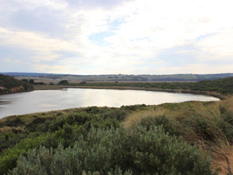
3.Salt water visiable in channel -up to half way between mouth & tunnel
4.Sheer sided bank to channel reaching 1.50m at mouth (from artificial opening)
5.Sea rough -waves hi up on beach & in all directions at mouth -longshore drift bringing back more sand.
6.Beach gradual slope but rises much higher near mouth
4

We acknowledge and respect Victorian Traditional Owners as the original custodians of Victoria’s land and waters, their unique ability to care for Country and deep spiritual connection to it.
We honour Elders past and present whose knowledge and wisdom has ensured the continuation of culture and traditional practices.
We honour Elders past and present whose knowledge and wisdom has ensured the continuation of culture and traditional practices.
 All content, files, data and images provided by the EstuaryWatch Data Portal subject to a Creative Commons Attribution License
Data portal by CeRDI
All content, files, data and images provided by the EstuaryWatch Data Portal subject to a Creative Commons Attribution License
Data portal by CeRDI