GMC Gellibrand River Estuary Mouth Observation Site
23 March 2012
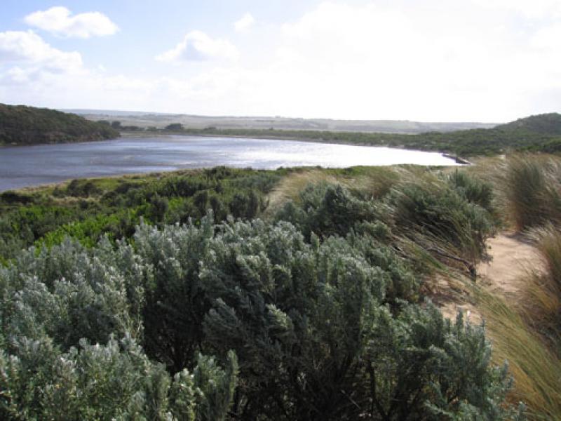
Observation details
Overview
| Estuary | Gellibrand River Estuary |
|---|---|
| Site | Gellibrand River Estuary Mouth Observation Site |
| Observation ID | #6942 |
| Date and Time | Friday 23rd March 2012 10:50am |
| Approved | Approved |
Notes
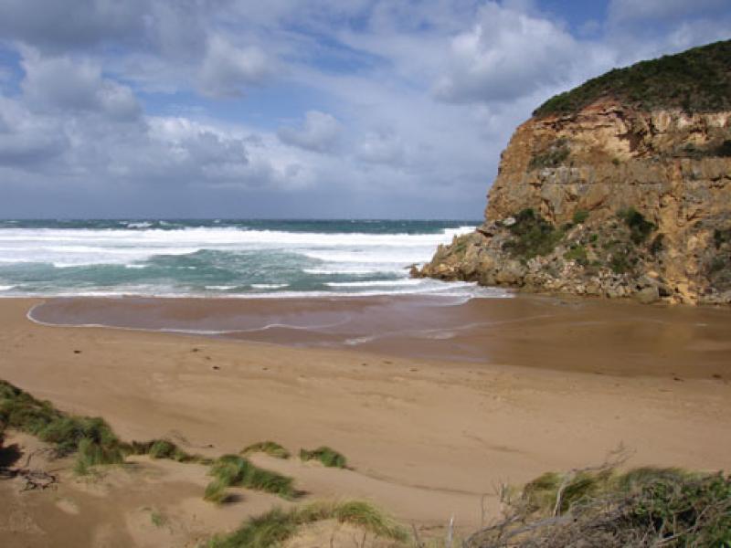
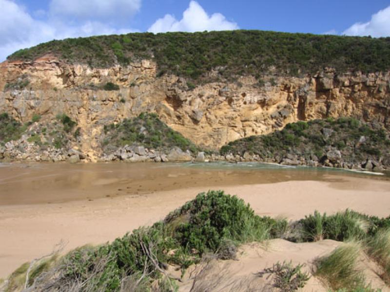
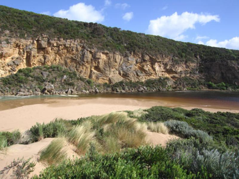
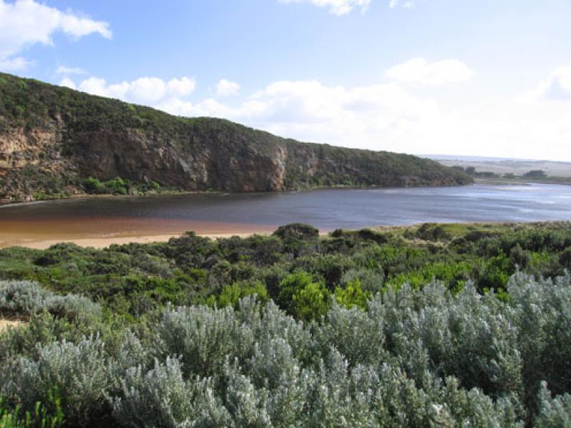
1. Salt water entering over very shallow/ exposed area. Salt water visiable 2/3rd way to tunnel
2. Gale force winds
3. Waves up to base of dunes on ocean beach
4. Waves 20-30cm in estuary -visiability reduced because of spray & wind driven sand
5. Slight increase in area of recent rock fall
6. Rainfall since 21/03/12 = 40 ml.
We acknowledge and respect Victorian Traditional Owners as the original custodians of Victoria’s land and waters, their unique ability to care for Country and deep spiritual connection to it.
We honour Elders past and present whose knowledge and wisdom has ensured the continuation of culture and traditional practices.
We honour Elders past and present whose knowledge and wisdom has ensured the continuation of culture and traditional practices.
 All content, files, data and images provided by the EstuaryWatch Data Portal subject to a Creative Commons Attribution License
Data portal by CeRDI
All content, files, data and images provided by the EstuaryWatch Data Portal subject to a Creative Commons Attribution License
Data portal by CeRDI