GMC Gellibrand River Estuary Mouth Observation Site
13 January 2012
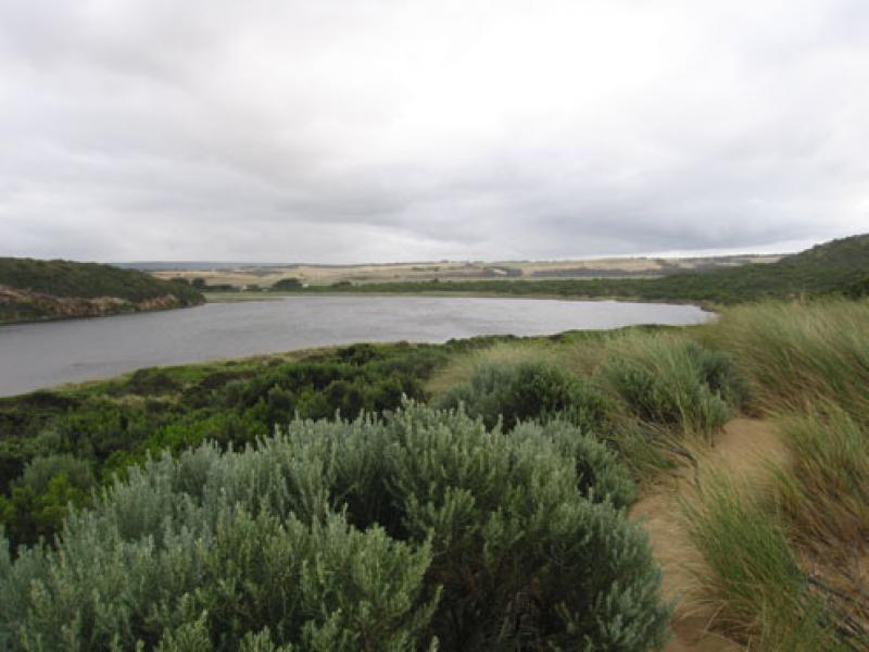
Observation details
Overview
| Estuary | Gellibrand River Estuary |
|---|---|
| Site | Gellibrand River Estuary Mouth Observation Site |
| Observation ID | #6566 |
| Date and Time | Friday 13th January 2012 07:35am |
| Approved | Approved |
Notes
1. AHD at G6 1.41 at 07:17
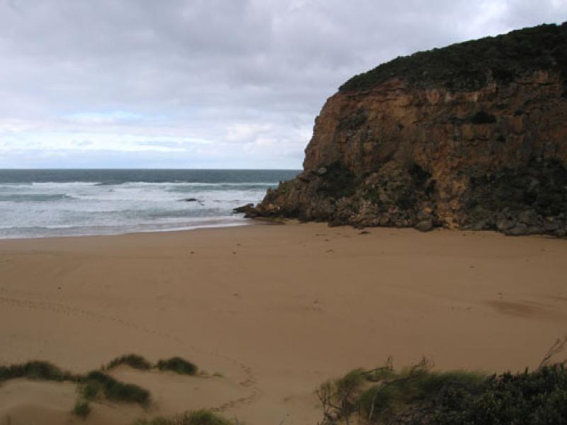
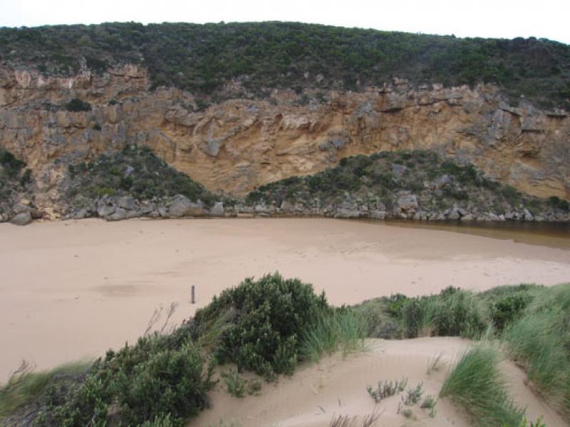
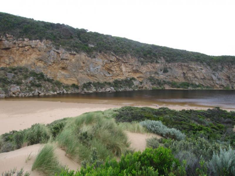
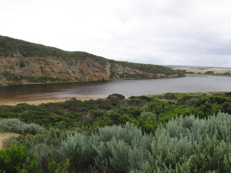
2. Mouth closed on 12/01/12 .
3.Waves have been over at last hi tide, width of berm at present about 40m. River about 1m higher than sea level. Signs of waves entering channel up to 60m
4.Rocks just showing above sand.
5.Bouy barnicles 100's of them all along beach & some in river
6.Sand mid beach has been reduced by wave action
7.Small rock fall near rocka
8. Dead Albatross east end of beach
We acknowledge and respect Victorian Traditional Owners as the original custodians of Victoria’s land and waters, their unique ability to care for Country and deep spiritual connection to it.
We honour Elders past and present whose knowledge and wisdom has ensured the continuation of culture and traditional practices.
We honour Elders past and present whose knowledge and wisdom has ensured the continuation of culture and traditional practices.
 All content, files, data and images provided by the EstuaryWatch Data Portal subject to a Creative Commons Attribution License
Data portal by CeRDI
All content, files, data and images provided by the EstuaryWatch Data Portal subject to a Creative Commons Attribution License
Data portal by CeRDI