GMC Gellibrand River Estuary Mouth Observation Site
23 December 2011
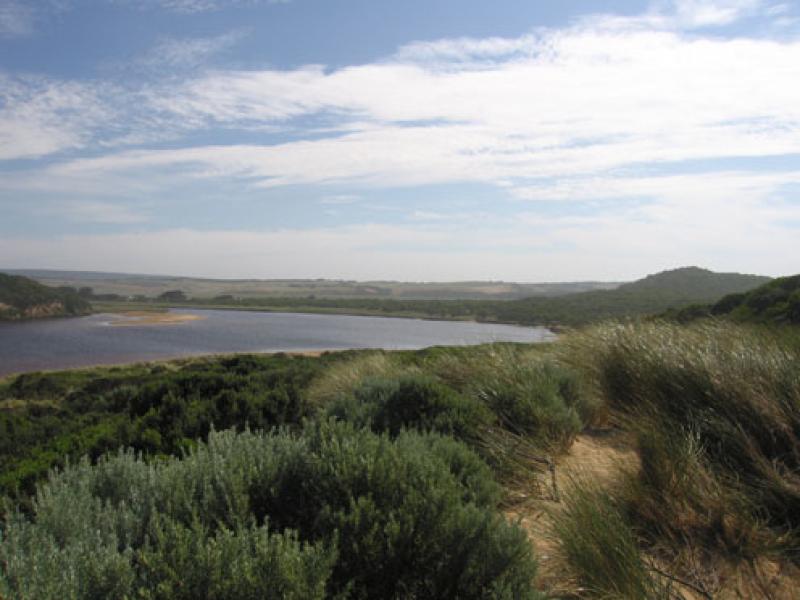
Observation details
Overview
| Estuary | Gellibrand River Estuary |
|---|---|
| Site | Gellibrand River Estuary Mouth Observation Site |
| Observation ID | #6529 |
| Date and Time | Friday 23rd December 2011 09:05am |
| Approved | Approved |
Notes
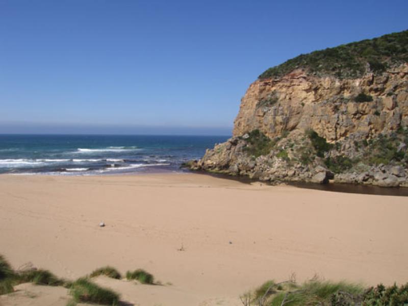
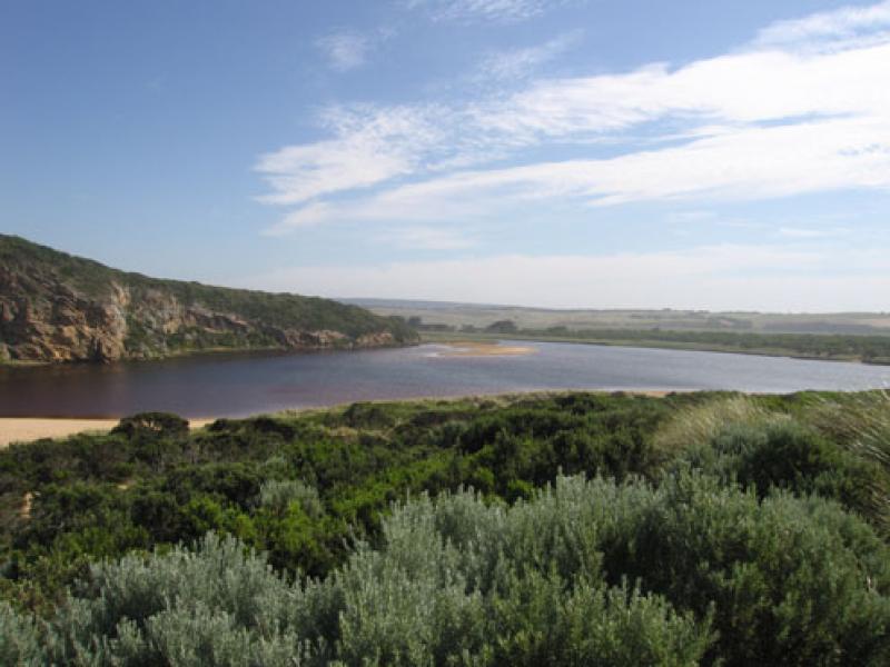
1. Reduced flow -only around mouth
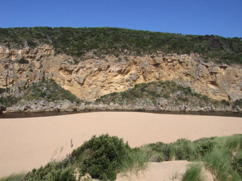
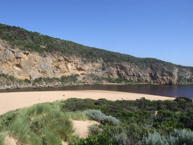
2.Steep sand face at east end of beach has moved closer to dunes (height over 3m.)
3.Steep front to mid beach- sand higher at this point then sloping down west toward mouth -east end of beach much lower
4.Algae visiable in large sheets, bubbles rising & 'skeins' forming on surface - e. side of estuary
5.Many small 1-2cm fish in area e.side of estuary
We acknowledge and respect Victorian Traditional Owners as the original custodians of Victoria’s land and waters, their unique ability to care for Country and deep spiritual connection to it.
We honour Elders past and present whose knowledge and wisdom has ensured the continuation of culture and traditional practices.
We honour Elders past and present whose knowledge and wisdom has ensured the continuation of culture and traditional practices.
 All content, files, data and images provided by the EstuaryWatch Data Portal subject to a Creative Commons Attribution License
Data portal by CeRDI
All content, files, data and images provided by the EstuaryWatch Data Portal subject to a Creative Commons Attribution License
Data portal by CeRDI