GMC Gellibrand River Estuary Mouth Observation Site
27 November 2011
Observation details
Overview
| Estuary | Gellibrand River Estuary |
|---|---|
| Site | Gellibrand River Estuary Mouth Observation Site |
| Observation ID | #6421 |
| Date and Time | Sunday 27th November 2011 08:40am |
| Approved | Approved |
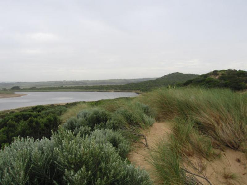
Notes
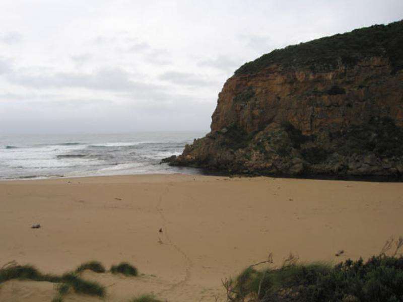
1. Dark discharge only around mouth
2..Out flow only against cliff, cascading over rocky area between rocks & cliff
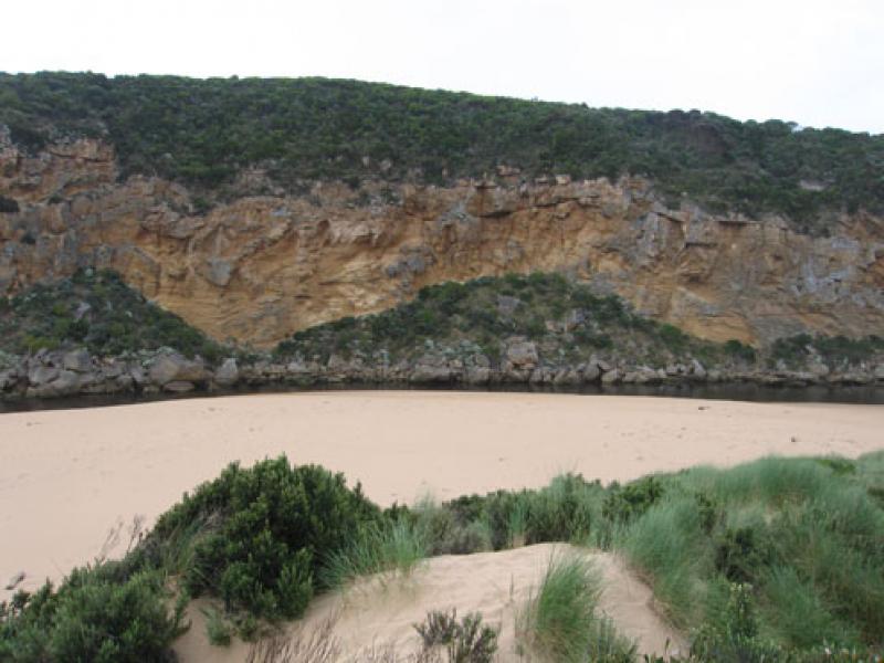
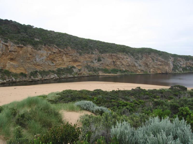
3. Channel upstream of rocks- bank about 1m above water- steep sided
4.Increased erosion at east end of beach, high sand area mid beach. Sand continues to build up around mouth
5.Dead shearwater east side of channel
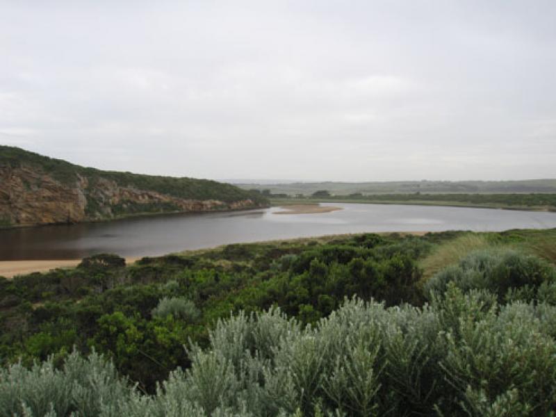
6. Many waterbirds on north wetlands.
We acknowledge and respect Victorian Traditional Owners as the original custodians of Victoria’s land and waters, their unique ability to care for Country and deep spiritual connection to it.
We honour Elders past and present whose knowledge and wisdom has ensured the continuation of culture and traditional practices.
We honour Elders past and present whose knowledge and wisdom has ensured the continuation of culture and traditional practices.
 All content, files, data and images provided by the EstuaryWatch Data Portal subject to a Creative Commons Attribution License
Data portal by CeRDI
All content, files, data and images provided by the EstuaryWatch Data Portal subject to a Creative Commons Attribution License
Data portal by CeRDI