GMC Gellibrand River Estuary Mouth Observation Site
28 October 2011
Observation details
Overview
| Estuary | Gellibrand River Estuary |
|---|---|
| Site | Gellibrand River Estuary Mouth Observation Site |
| Observation ID | #6262 |
| Date and Time | Friday 28th October 2011 09:50am |
| Approved | Approved |
Notes
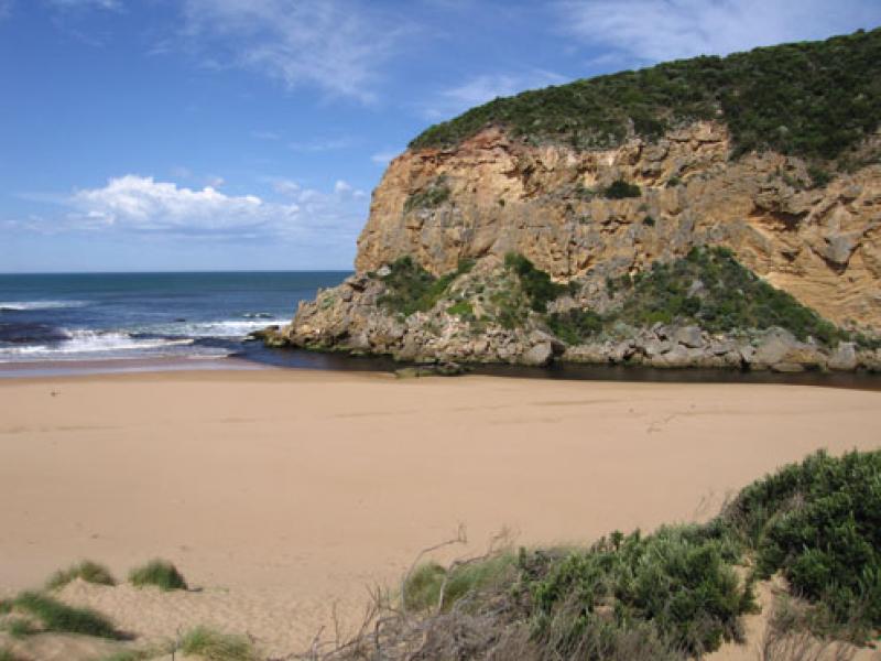
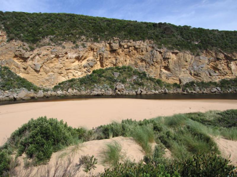
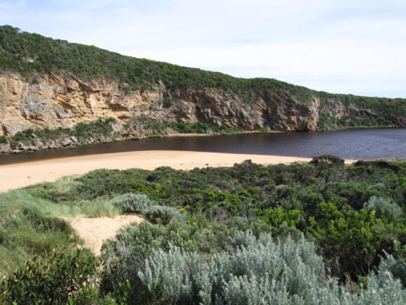
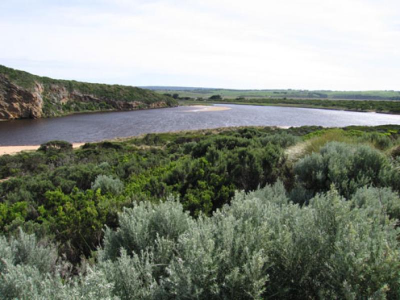
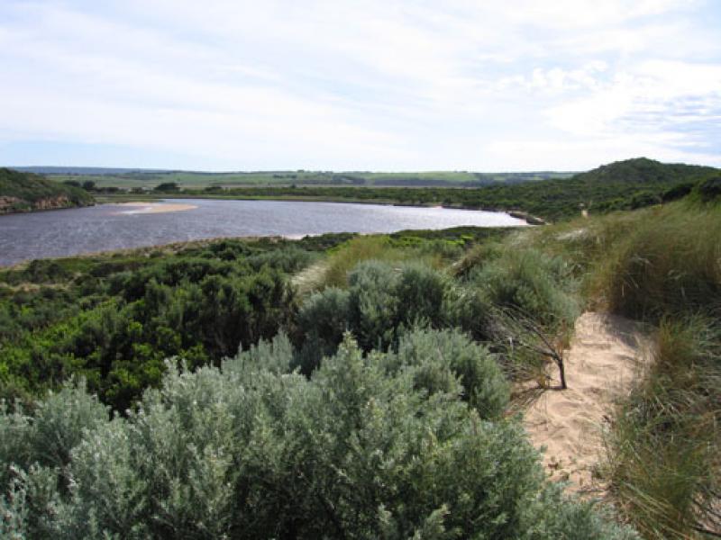
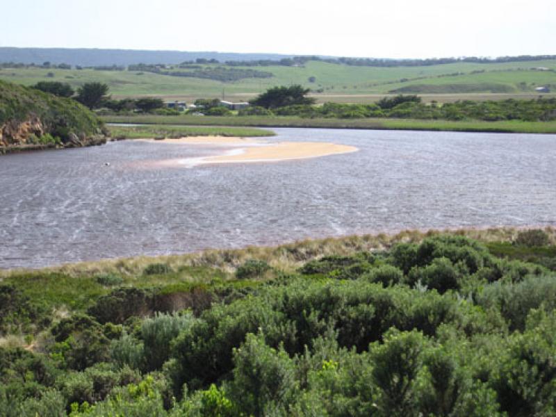
1.Dark discharge around mouth, also to east & west
2.Despite over 25ml rain during week flow seems to be decreasing
3.Flow only between rocks & cliff, more sand around mouth
4.Sand has been eroded at east end of ocean beach creating a steep face (1m+)
5.Sand visiable going out to sea about 50-100m from 2nd beach
6.More damage to south & east sides of estuary
We acknowledge and respect Victorian Traditional Owners as the original custodians of Victoria’s land and waters, their unique ability to care for Country and deep spiritual connection to it.
We honour Elders past and present whose knowledge and wisdom has ensured the continuation of culture and traditional practices.
We honour Elders past and present whose knowledge and wisdom has ensured the continuation of culture and traditional practices.
 All content, files, data and images provided by the EstuaryWatch Data Portal subject to a Creative Commons Attribution License
Data portal by CeRDI
All content, files, data and images provided by the EstuaryWatch Data Portal subject to a Creative Commons Attribution License
Data portal by CeRDI