GMC Gellibrand River Estuary Mouth Observation Site
3 September 2011
Observation details
Overview
| Estuary | Gellibrand River Estuary |
|---|---|
| Site | Gellibrand River Estuary Mouth Observation Site |
| Observation ID | #6041 |
| Date and Time | Saturday 3rd September 2011 07:50am |
| Approved | Approved |
Notes
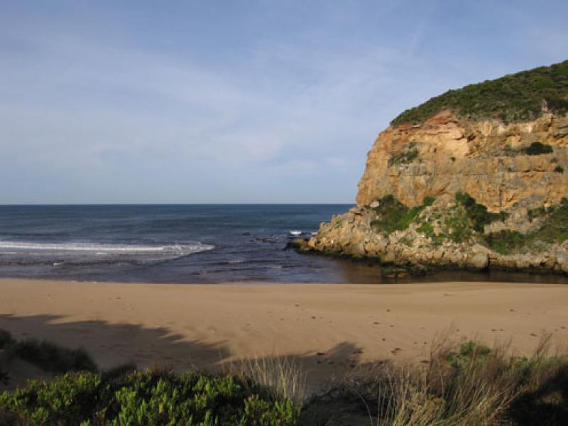
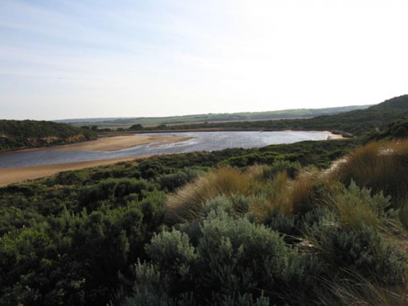
1.Weaker out flow, dark discharge out around mouth, out to sea & toward east end of beach
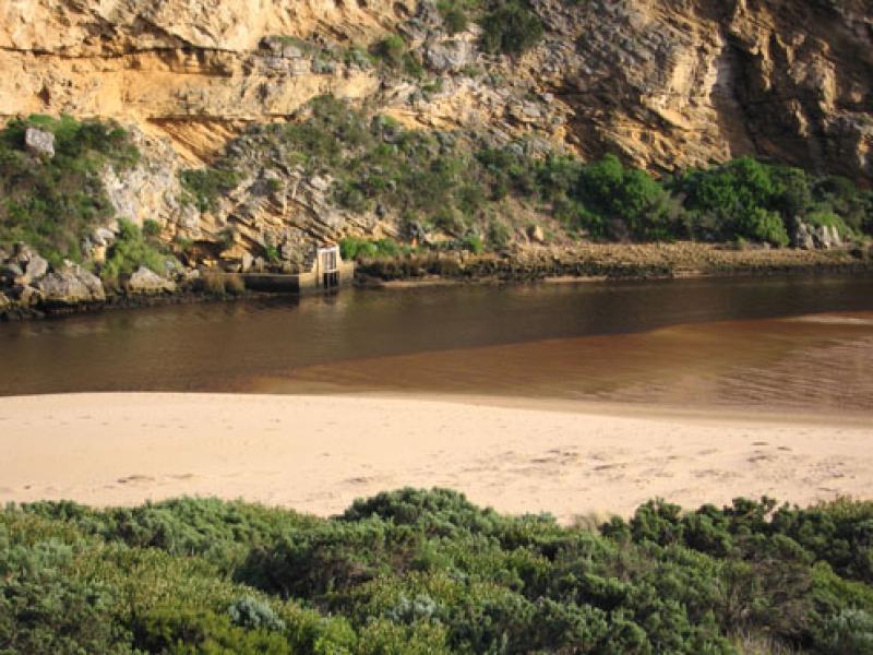
2..Mouth smaller but water flowing on both sides of rocks
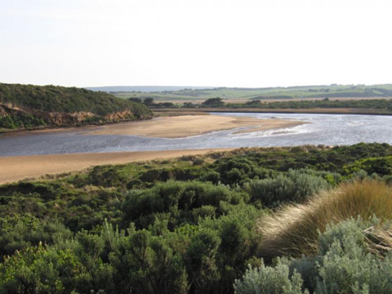
3.Beach wide with gradual slope, rocks at both ends exposed (Low tide)
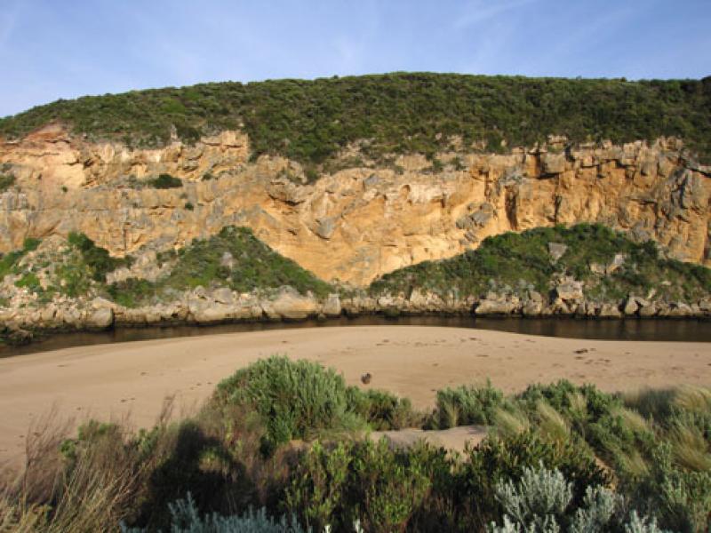
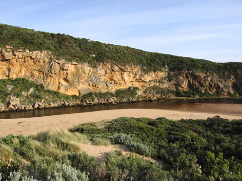
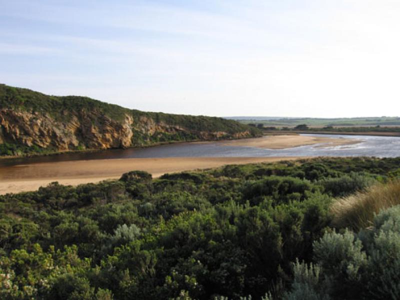
4.More erosion to south & east sides of estuary from last weeks rough seas. (More logs close to car park)
5. Large area of sand exposed opposite of tunnel & sandbar
6.Channel between rocks & tunnel -east bank up to 1.5m. above water in some areas (very steep sides)
7. Dead Rail on track to car park (run over)
We acknowledge and respect Victorian Traditional Owners as the original custodians of Victoria’s land and waters, their unique ability to care for Country and deep spiritual connection to it.
We honour Elders past and present whose knowledge and wisdom has ensured the continuation of culture and traditional practices.
We honour Elders past and present whose knowledge and wisdom has ensured the continuation of culture and traditional practices.
 All content, files, data and images provided by the EstuaryWatch Data Portal subject to a Creative Commons Attribution License
Data portal by CeRDI
All content, files, data and images provided by the EstuaryWatch Data Portal subject to a Creative Commons Attribution License
Data portal by CeRDI