GMC Gellibrand River Estuary Mouth Observation Site
17 June 2011
Observation details
Overview
| Estuary | Gellibrand River Estuary |
|---|---|
| Site | Gellibrand River Estuary Mouth Observation Site |
| Observation ID | #5701 |
| Date and Time | Friday 17th June 2011 09:27am |
| Approved | Approved |
Notes
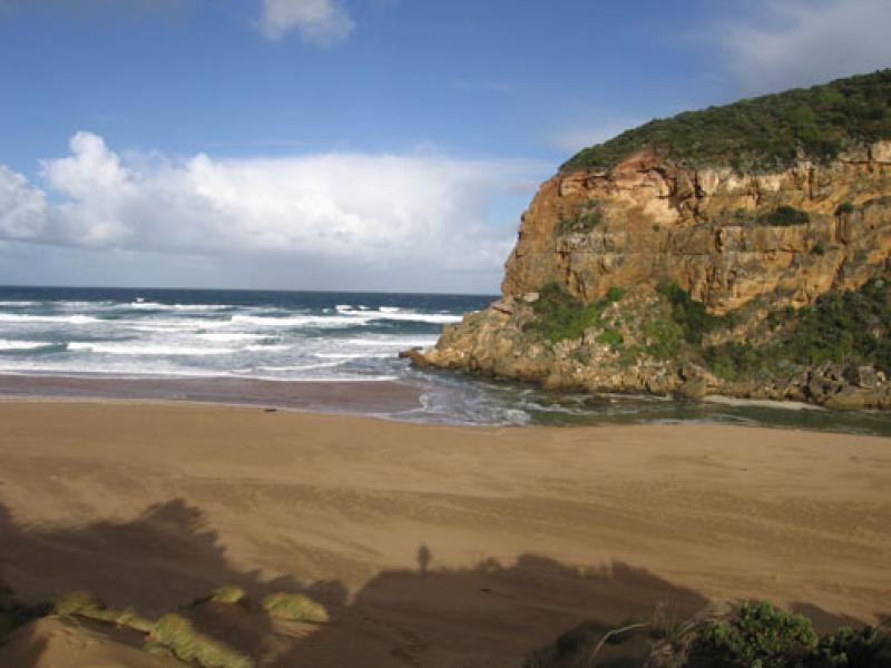
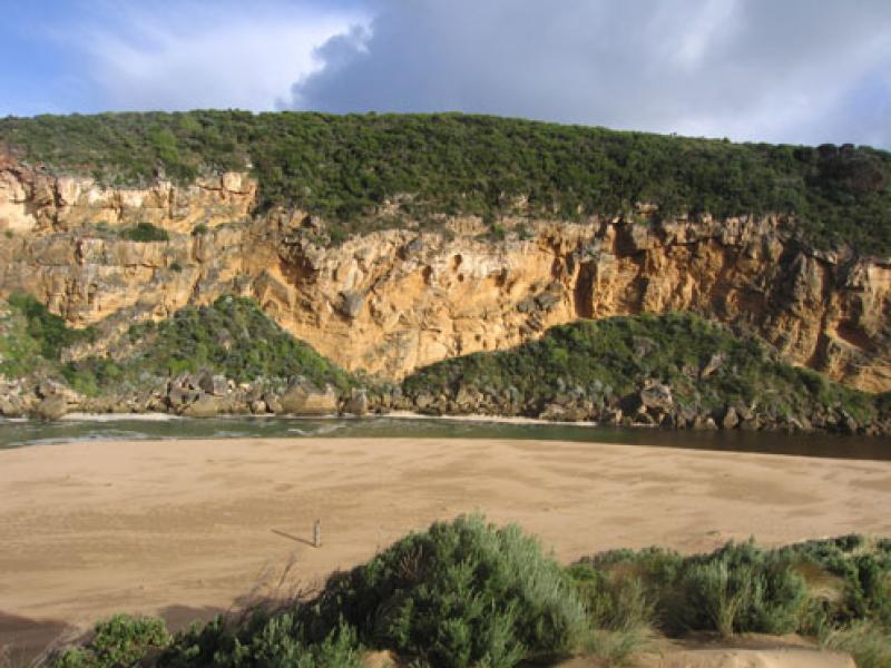
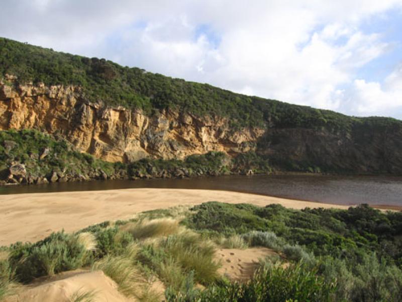
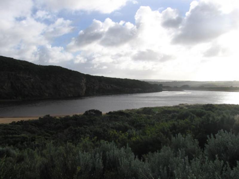
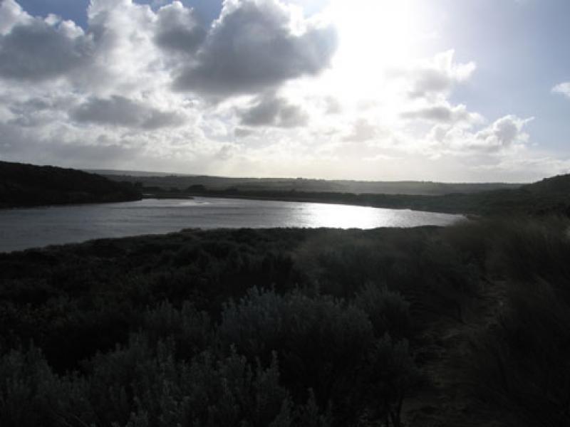
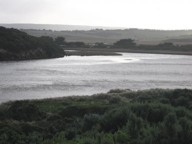
1.Salt water entering estuary, salt fresh divide about 30m.downstream of rocks, east bank about 1m above water, channel in that area about 15-20m wide, flow on both sides of rocks.
2. Waves in all directions at mouth
3. Sand built up at mid beach, longshore drift & wind bringing sand back into channel, & around mouth
We acknowledge and respect Victorian Traditional Owners as the original custodians of Victoria’s land and waters, their unique ability to care for Country and deep spiritual connection to it.
We honour Elders past and present whose knowledge and wisdom has ensured the continuation of culture and traditional practices.
We honour Elders past and present whose knowledge and wisdom has ensured the continuation of culture and traditional practices.
 All content, files, data and images provided by the EstuaryWatch Data Portal subject to a Creative Commons Attribution License
Data portal by CeRDI
All content, files, data and images provided by the EstuaryWatch Data Portal subject to a Creative Commons Attribution License
Data portal by CeRDI