GMC Gellibrand River Estuary Mouth Observation Site
10 June 2011
Observation details
Overview
| Estuary | Gellibrand River Estuary |
|---|---|
| Site | Gellibrand River Estuary Mouth Observation Site |
| Observation ID | #5667 |
| Date and Time | Friday 10th June 2011 09:25am |
| Approved | Approved |
Notes
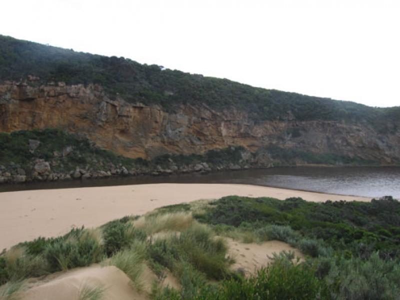
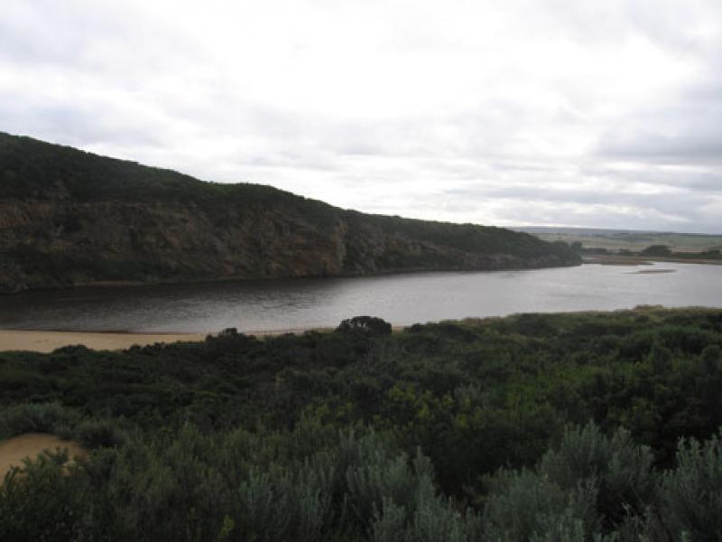
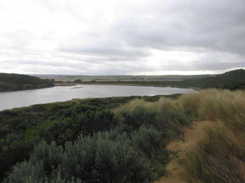
1.Strong out flow on both sides of rocks travelling through a much wider entrance and going to east along shoreline. Colour very dark
2.Recent heavy rain has increased flow. Channel between rocks & tunnel has steep east side (1-1.5m), channel in that area is about 15-20 m wide
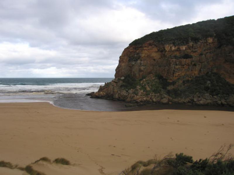
3.Beach very wide with gradual slope
4.Recent rough seas & hi tides have cut into sand dunes on south side of estuary and impacted on east side. Debris is piled up along bank and sand has built up in reed area
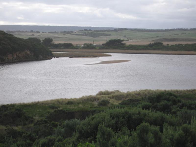
5.Small area of sandbar is exposed
6. 2 dead penguins ( one without a head)

We acknowledge and respect Victorian Traditional Owners as the original custodians of Victoria’s land and waters, their unique ability to care for Country and deep spiritual connection to it.
We honour Elders past and present whose knowledge and wisdom has ensured the continuation of culture and traditional practices.
We honour Elders past and present whose knowledge and wisdom has ensured the continuation of culture and traditional practices.
 All content, files, data and images provided by the EstuaryWatch Data Portal subject to a Creative Commons Attribution License
Data portal by CeRDI
All content, files, data and images provided by the EstuaryWatch Data Portal subject to a Creative Commons Attribution License
Data portal by CeRDI