GMC Gellibrand River Estuary Mouth Observation Site
20 May 2011
Observation details
Overview
| Estuary | Gellibrand River Estuary |
|---|---|
| Site | Gellibrand River Estuary Mouth Observation Site |
| Observation ID | #5561 |
| Date and Time | Friday 20th May 2011 10:15am |
| Approved | Approved |
Notes
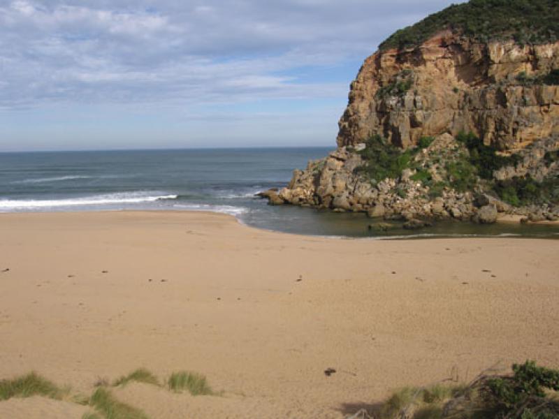
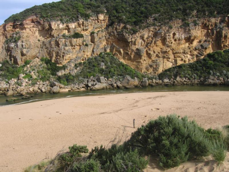
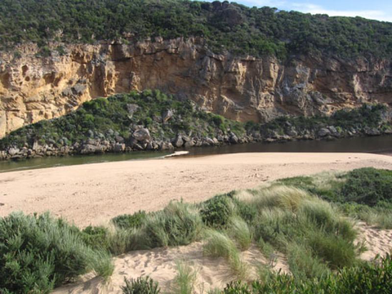
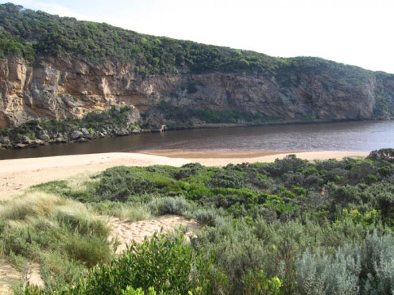
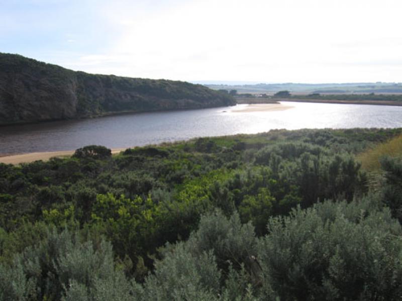
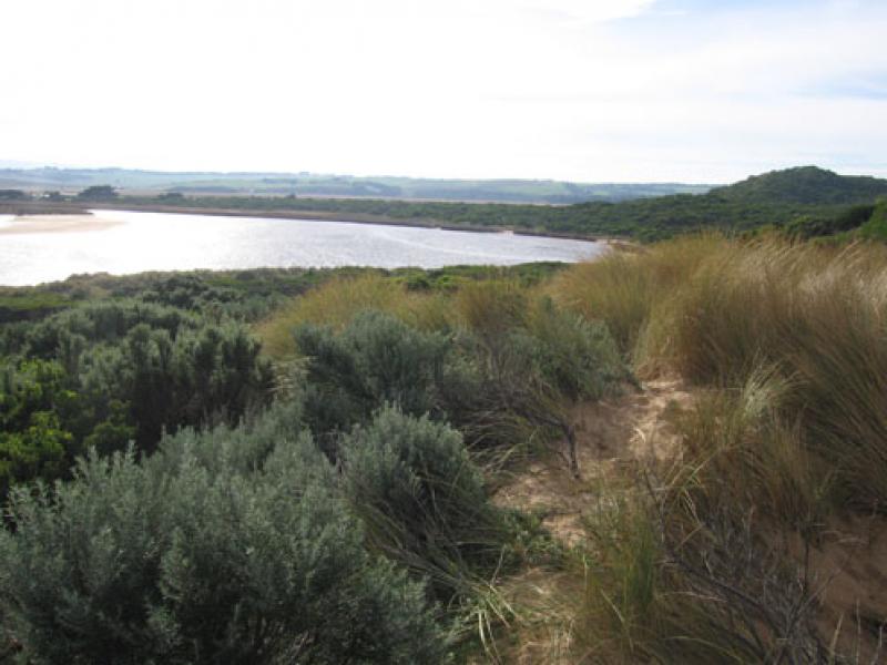
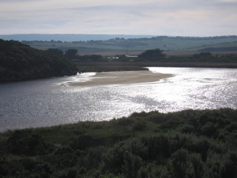
1.Salt water entering, salt/fresh divide midway between mouth & tunnel
2.Recent natural release of water has cut channel with sheer side east of rocks
3. Beach very wide, sand building up higher mid beach
4.Sand build up visiable under water at mouth
5.Sandbar in estuary exposed, also large area on east side
6.Singing Honeyeaters 3.
We acknowledge and respect Victorian Traditional Owners as the original custodians of Victoria’s land and waters, their unique ability to care for Country and deep spiritual connection to it.
We honour Elders past and present whose knowledge and wisdom has ensured the continuation of culture and traditional practices.
We honour Elders past and present whose knowledge and wisdom has ensured the continuation of culture and traditional practices.
 All content, files, data and images provided by the EstuaryWatch Data Portal subject to a Creative Commons Attribution License
Data portal by CeRDI
All content, files, data and images provided by the EstuaryWatch Data Portal subject to a Creative Commons Attribution License
Data portal by CeRDI