GMC Gellibrand River Estuary Mouth Observation Site
13 May 2011
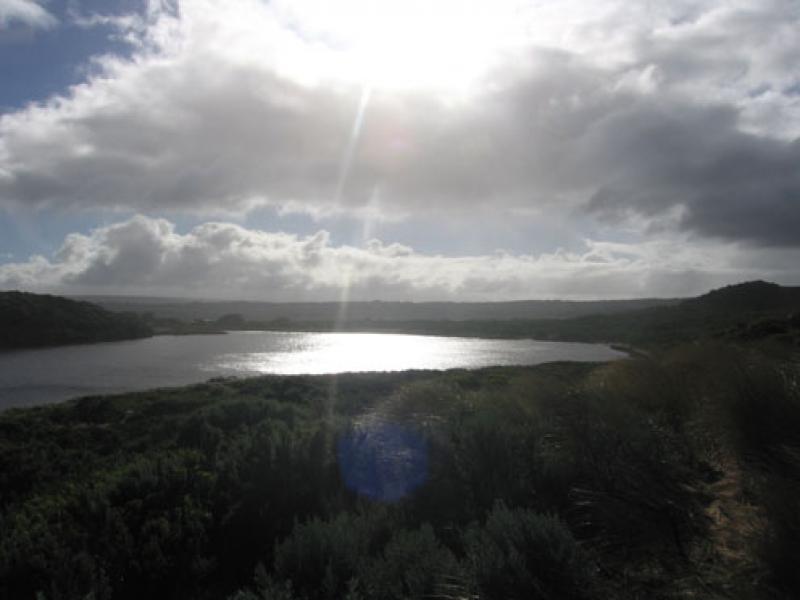
Observation details
Overview
| Estuary | Gellibrand River Estuary |
|---|---|
| Site | Gellibrand River Estuary Mouth Observation Site |
| Observation ID | #5522 |
| Date and Time | Friday 13th May 2011 09:42am |
| Approved | Approved |
Notes
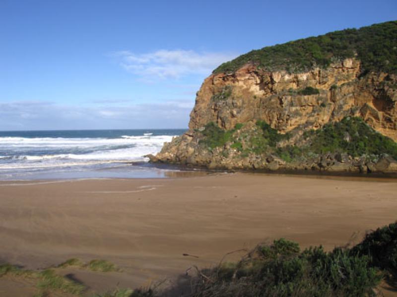
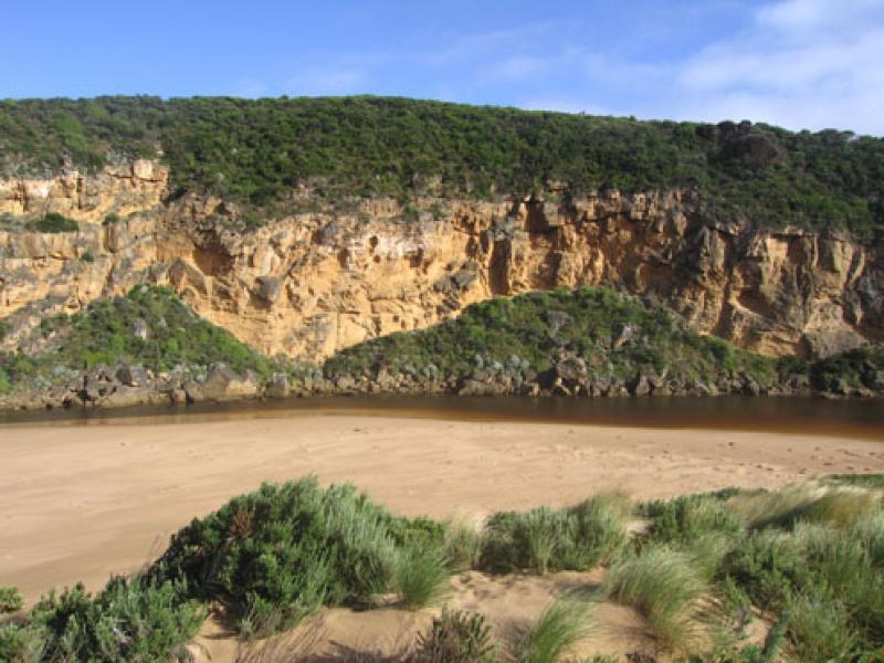
1.Dark discharge around mouth - also to east along shoreline. Discharge to west shows much sand
2.Waves circling at mouth, some waves entering channel and high up on beach
3.Beach wide with gradual slope
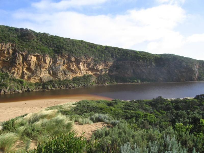
4. Wind & longshore drift bringing more sand into channel between rocks & tunnel
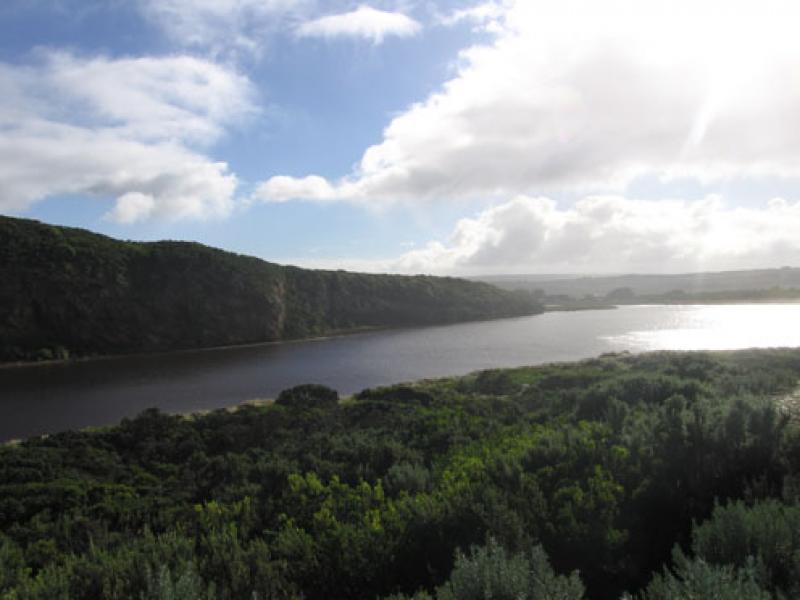
5. Water level high in estuary
6. Dead Penguin 1.
We acknowledge and respect Victorian Traditional Owners as the original custodians of Victoria’s land and waters, their unique ability to care for Country and deep spiritual connection to it.
We honour Elders past and present whose knowledge and wisdom has ensured the continuation of culture and traditional practices.
We honour Elders past and present whose knowledge and wisdom has ensured the continuation of culture and traditional practices.
 All content, files, data and images provided by the EstuaryWatch Data Portal subject to a Creative Commons Attribution License
Data portal by CeRDI
All content, files, data and images provided by the EstuaryWatch Data Portal subject to a Creative Commons Attribution License
Data portal by CeRDI