GMC Gellibrand River Estuary Mouth Observation Site
22 April 2011
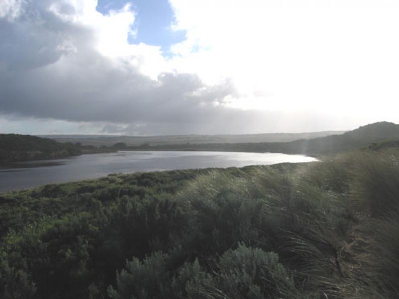
Observation details
Overview
| Estuary | Gellibrand River Estuary |
|---|---|
| Site | Gellibrand River Estuary Mouth Observation Site |
| Observation ID | #5439 |
| Date and Time | Friday 22nd April 2011 08:26am |
| Approved | Approved |
Notes
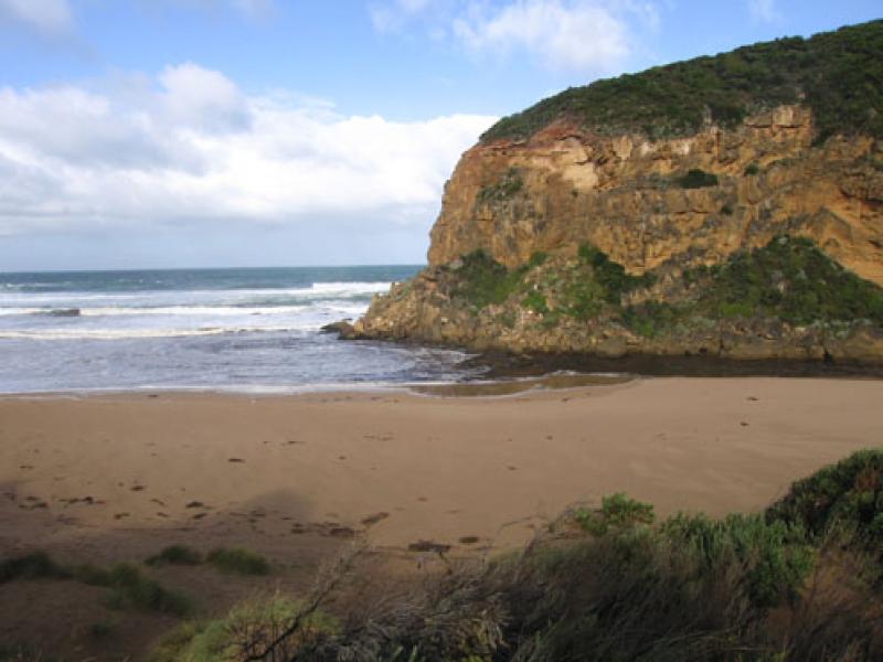
1.Sandy discharge around mouth, waves circling & long shore drift travelling along beach to entrance
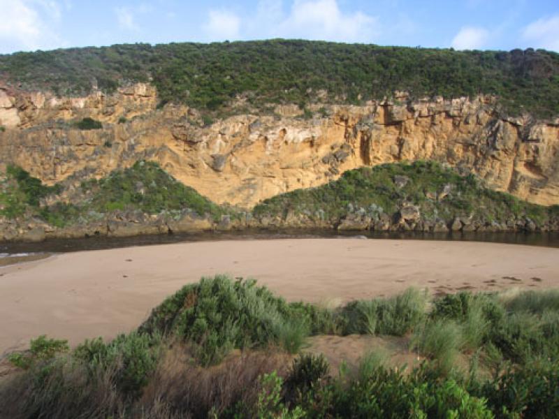
2. Increased sand build up infront of rocks
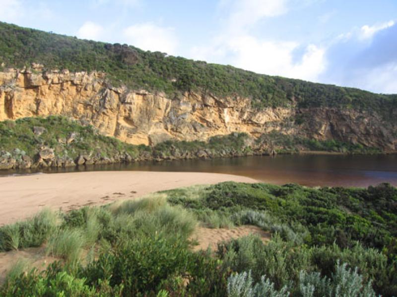
3.Very rough sea 21/04/11 has reduced beach to wide gradual slope. Tide/waves have been up to base of dunes & also created a smooth sloping side to the river channel
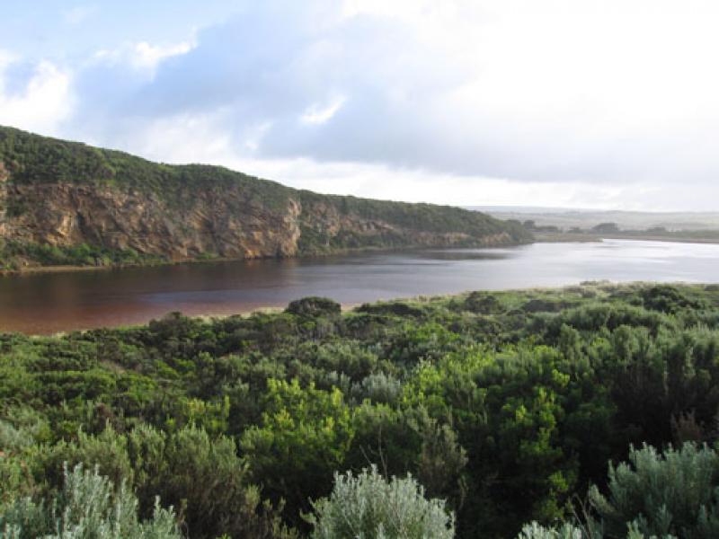
4.Water levels in the estuary have been up to 1m. above the present 1.68 AHD level
5. Wave action has reduced sand dunes on east side of channel & south side of estuary
We acknowledge and respect Victorian Traditional Owners as the original custodians of Victoria’s land and waters, their unique ability to care for Country and deep spiritual connection to it.
We honour Elders past and present whose knowledge and wisdom has ensured the continuation of culture and traditional practices.
We honour Elders past and present whose knowledge and wisdom has ensured the continuation of culture and traditional practices.
 All content, files, data and images provided by the EstuaryWatch Data Portal subject to a Creative Commons Attribution License
Data portal by CeRDI
All content, files, data and images provided by the EstuaryWatch Data Portal subject to a Creative Commons Attribution License
Data portal by CeRDI