GMC Gellibrand River Estuary Mouth Observation Site
15 April 2011
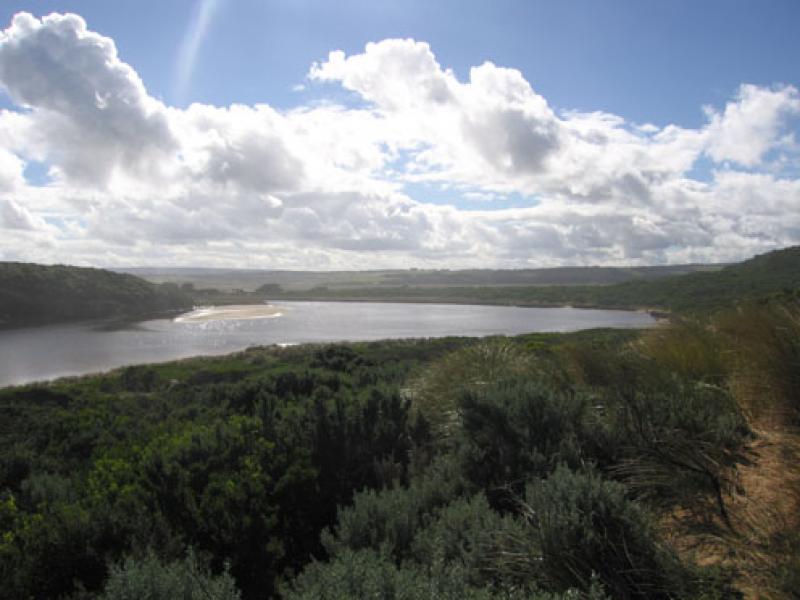
Observation details
Overview
| Estuary | Gellibrand River Estuary |
|---|---|
| Site | Gellibrand River Estuary Mouth Observation Site |
| Observation ID | #5425 |
| Date and Time | Friday 15th April 2011 09:55am |
| Approved | Approved |
Notes
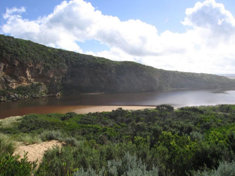
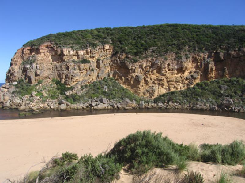
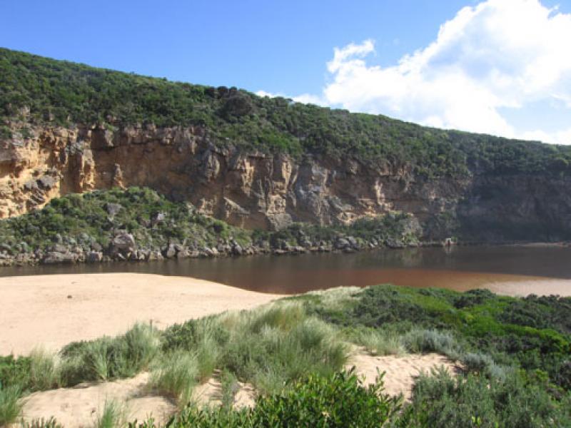
1.Recent rainfall in catchment and low tide have combined to cause a large release of dark water around mouth & to east & west
2. Reduced water levels in estuary (low tide)
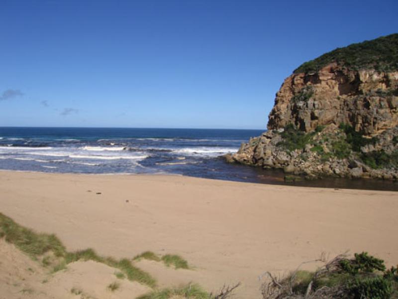
3.Ocean beach has changed shape - channel from sea to dunes mid beach. Signs of longshore drift mid beach along below dunes to river channel. Sand build up remains in front of rocks(downstream)
4.Many small fish 3cm. -15cm. along east side of estuary. Good sized Bream being caught during week
5.Large dark silt deposit s/e side of estuary
6. Dead Penguins on ocean beach, 3 with heads 'crunched'
7.Dead Fairy Prion 1.
8.Large amount of squid carapaces on beach
We acknowledge and respect Victorian Traditional Owners as the original custodians of Victoria’s land and waters, their unique ability to care for Country and deep spiritual connection to it.
We honour Elders past and present whose knowledge and wisdom has ensured the continuation of culture and traditional practices.
We honour Elders past and present whose knowledge and wisdom has ensured the continuation of culture and traditional practices.
 All content, files, data and images provided by the EstuaryWatch Data Portal subject to a Creative Commons Attribution License
Data portal by CeRDI
All content, files, data and images provided by the EstuaryWatch Data Portal subject to a Creative Commons Attribution License
Data portal by CeRDI