GMC Gellibrand River Estuary Mouth Observation Site
25 March 2011
Observation details
Overview
| Estuary | Gellibrand River Estuary |
|---|---|
| Site | Gellibrand River Estuary Mouth Observation Site |
| Observation ID | #5331 |
| Date and Time | Friday 25th March 2011 09:15am |
| Approved | Approved |
Notes
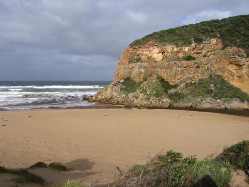
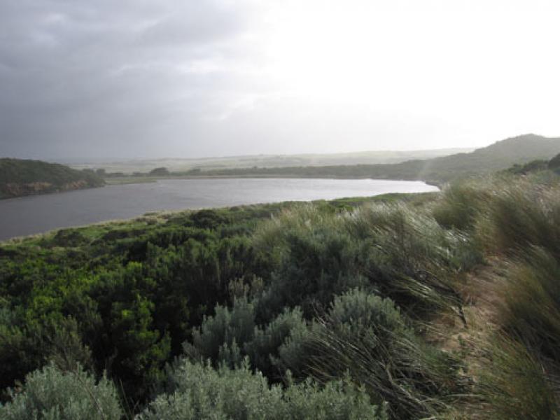
1.Out flow between rocks & cliff face, channel 3-4m wide, cascade over submerged rocks with a drop of about 1m.
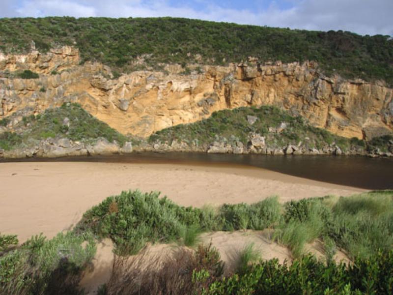
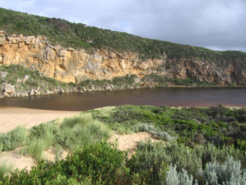
2.Channel has moved left and along shoreline.
3.Sand build up against cliff uncovered
4. Increasing flow from recent rain is flushing channel Steep sides( to 1m.) are collapsing into flow
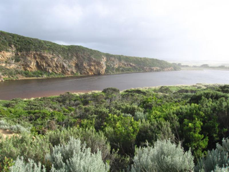
5.Sandbar in estuary is under water & water is up to the base of the dunes on eastside of channel & estuary
6. Last hi tide reached to near base of sand dunes on ocean beach. Longshore drift and wind are bringing more sand back into the channel upstream of rocks.
7. It was noted that a few days after the full moon large schools (2m wide by 1m deep) of small blue grey( 8cm) fish were swimming upstream
We acknowledge and respect Victorian Traditional Owners as the original custodians of Victoria’s land and waters, their unique ability to care for Country and deep spiritual connection to it.
We honour Elders past and present whose knowledge and wisdom has ensured the continuation of culture and traditional practices.
We honour Elders past and present whose knowledge and wisdom has ensured the continuation of culture and traditional practices.
 All content, files, data and images provided by the EstuaryWatch Data Portal subject to a Creative Commons Attribution License
Data portal by CeRDI
All content, files, data and images provided by the EstuaryWatch Data Portal subject to a Creative Commons Attribution License
Data portal by CeRDI