GMC Gellibrand River Estuary Mouth Observation Site
28 January 2011
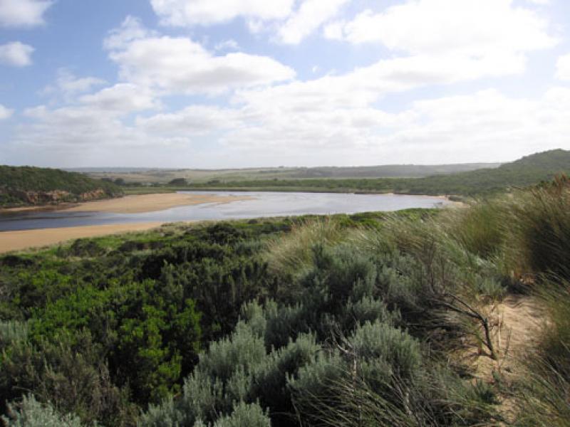
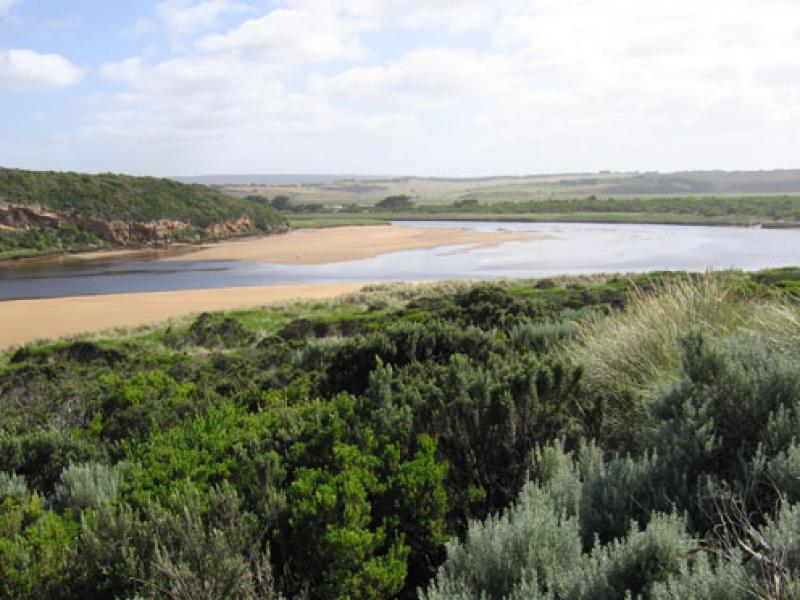
Observation details
Overview
| Estuary | Gellibrand River Estuary |
|---|---|
| Site | Gellibrand River Estuary Mouth Observation Site |
| Observation ID | #5063 |
| Date and Time | Friday 28th January 2011 08:55am |
| Approved | Approved |
Notes
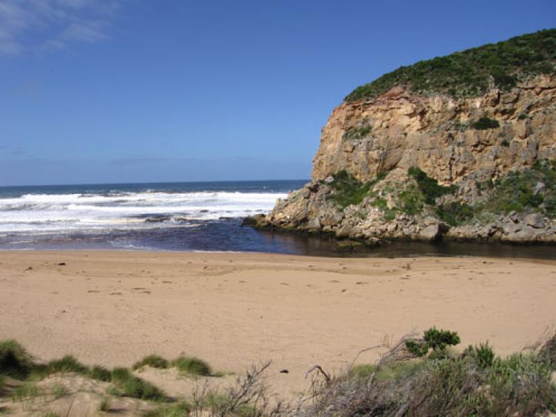
1.Dark discharge flowing to east, west & around mouth
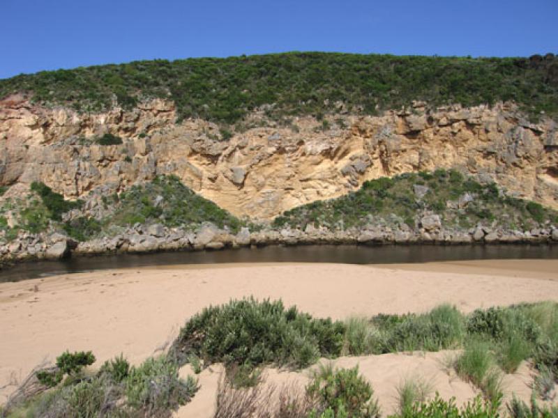
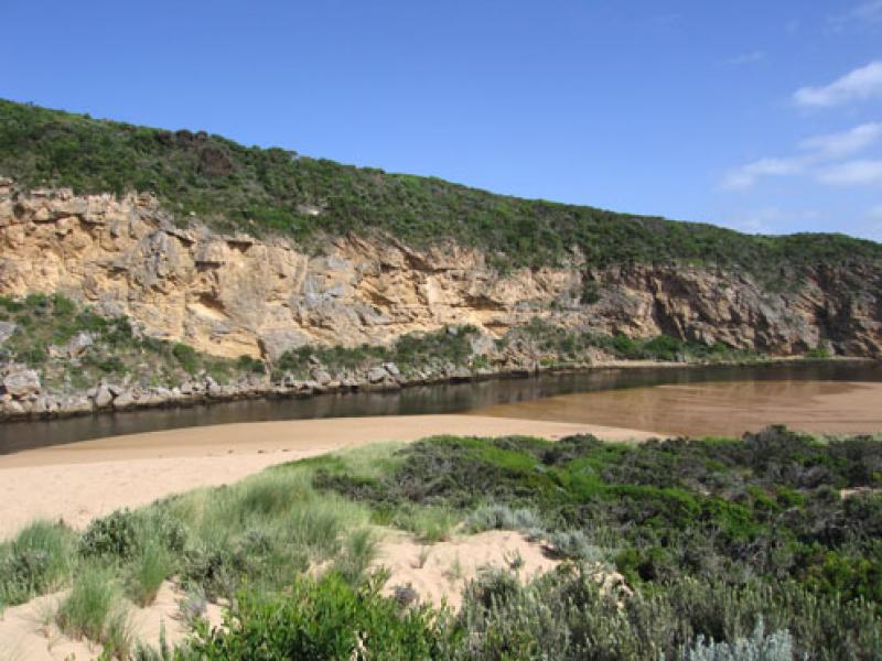
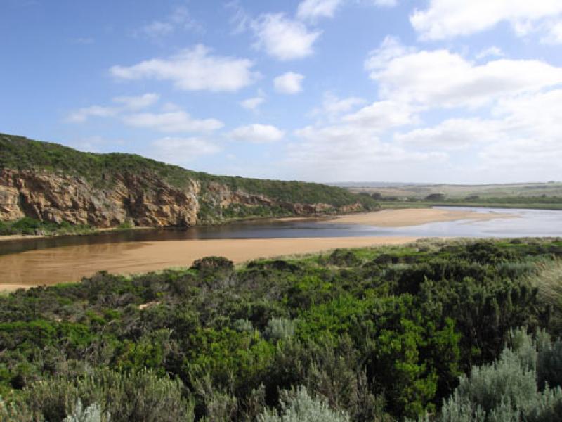
2.Low tide has exposed rocks at both ends of beach, large sand area gently sloping to sea
18 large logs on beach.
3. Channel width & depth reduced, large area of sand bar exposed
4.Dead fish reported near Latrobe creek (26/01/11) and upstream
5.Dead Penguins 2, at east end of beach
6. Black Cockatoos 6, Golden headed Cisticola 1.(in reeds s/e side of estuary) many crows
We acknowledge and respect Victorian Traditional Owners as the original custodians of Victoria’s land and waters, their unique ability to care for Country and deep spiritual connection to it.
We honour Elders past and present whose knowledge and wisdom has ensured the continuation of culture and traditional practices.
We honour Elders past and present whose knowledge and wisdom has ensured the continuation of culture and traditional practices.
 All content, files, data and images provided by the EstuaryWatch Data Portal subject to a Creative Commons Attribution License
Data portal by CeRDI
All content, files, data and images provided by the EstuaryWatch Data Portal subject to a Creative Commons Attribution License
Data portal by CeRDI