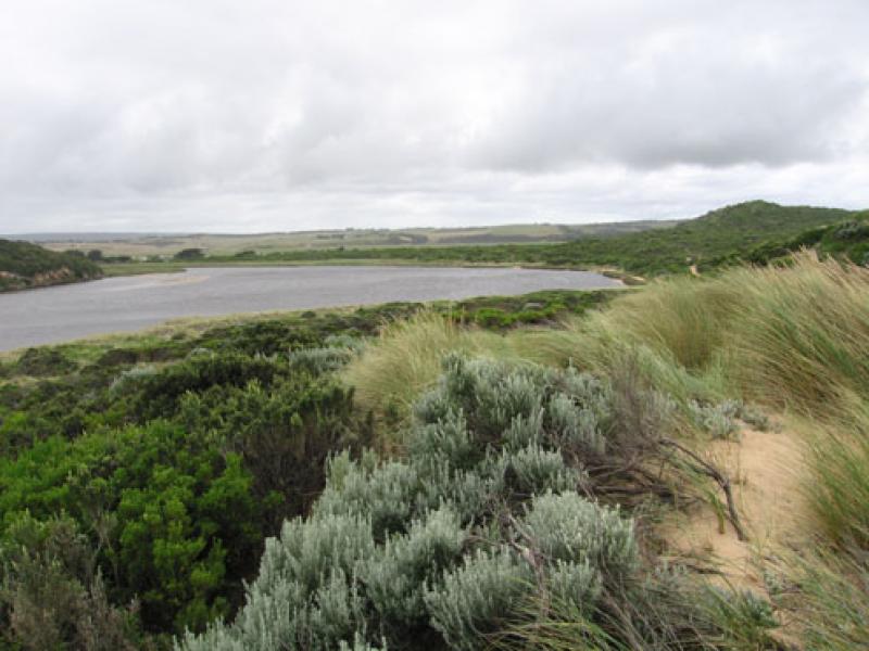
GMC Gellibrand River Estuary Mouth Observation Site
15 January 2011
Observation details
Overview
| Estuary | Gellibrand River Estuary |
|---|---|
| Site | Gellibrand River Estuary Mouth Observation Site |
| Observation ID | #4986 |
| Date and Time | Saturday 15th January 2011 12:47pm |
| Approved | Approved |
Notes
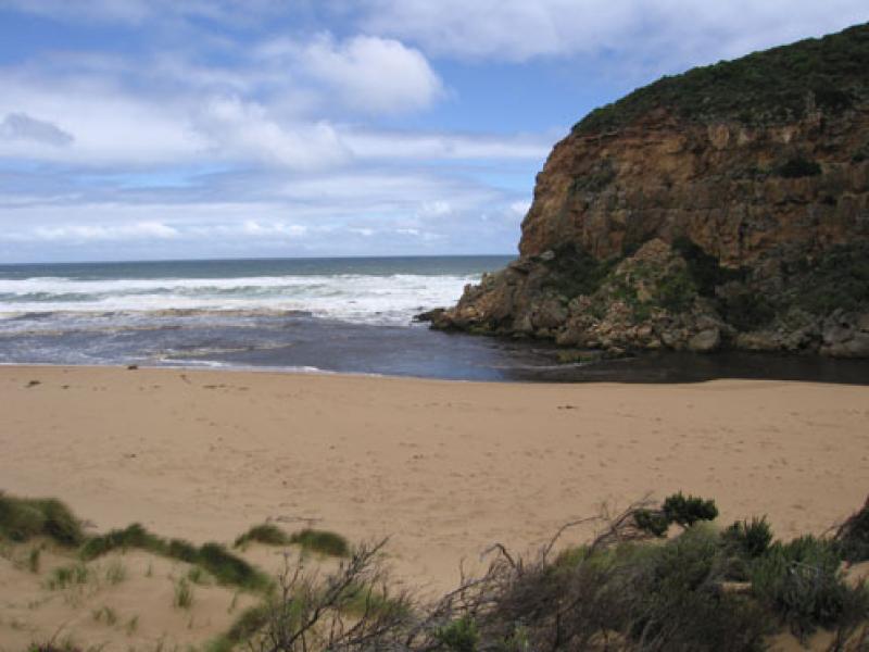
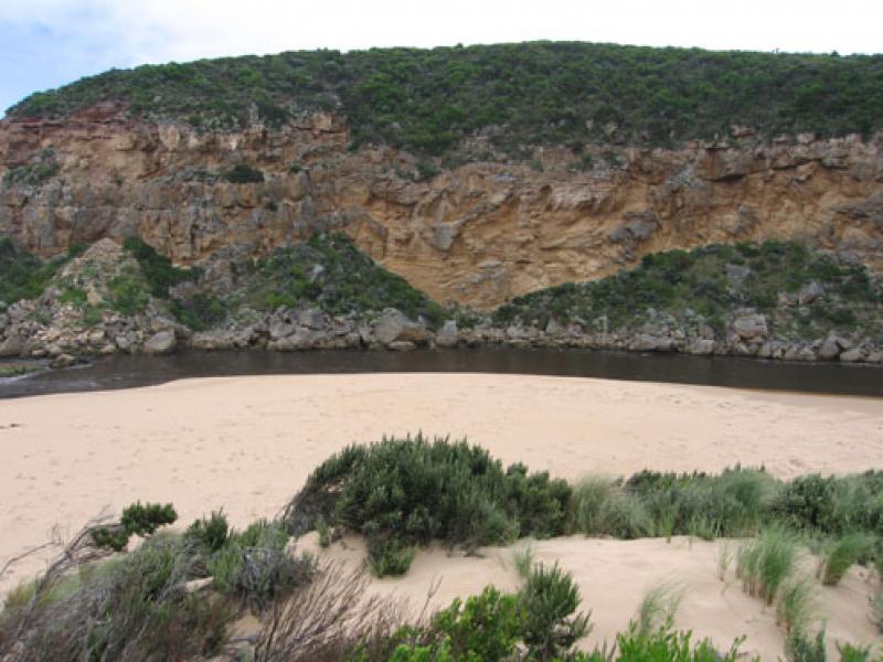
1. mouth increased in width & flow, Waves entering estuary
2.Ocean beach - high slope to water, large areas covered with brown foam & silt. Foam up to 70cm high
3.Some logs from the estuary are now on ocean beach
4.Considerable longshore drift travelling back to mouth
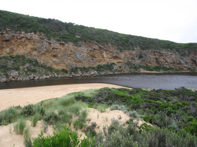
5. Flood levels still increasing at G6
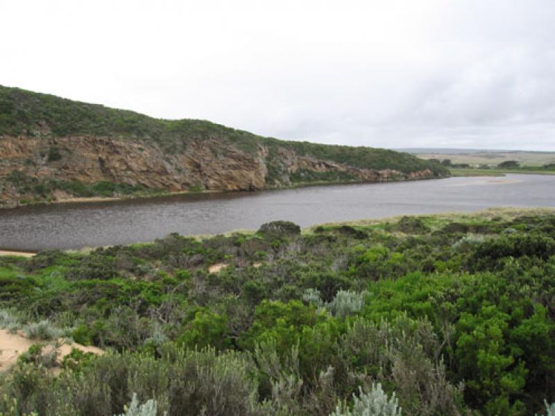
6.Increase of water birds & large no. of Ravens all along the river
7. Water just over bearer at G4, Rivernook flooded and water covering flats downstream . No water over O.O.R.
We acknowledge and respect Victorian Traditional Owners as the original custodians of Victoria’s land and waters, their unique ability to care for Country and deep spiritual connection to it.
We honour Elders past and present whose knowledge and wisdom has ensured the continuation of culture and traditional practices.
We honour Elders past and present whose knowledge and wisdom has ensured the continuation of culture and traditional practices.
 All content, files, data and images provided by the EstuaryWatch Data Portal subject to a Creative Commons Attribution License
Data portal by CeRDI
All content, files, data and images provided by the EstuaryWatch Data Portal subject to a Creative Commons Attribution License
Data portal by CeRDI