GMC Gellibrand River Estuary Mouth Observation Site
10 December 2010
Observation details
Overview
| Estuary | Gellibrand River Estuary |
|---|---|
| Site | Gellibrand River Estuary Mouth Observation Site |
| Observation ID | #4801 |
| Date and Time | Friday 10th December 2010 09:55am |
| Approved | Approved |
Notes
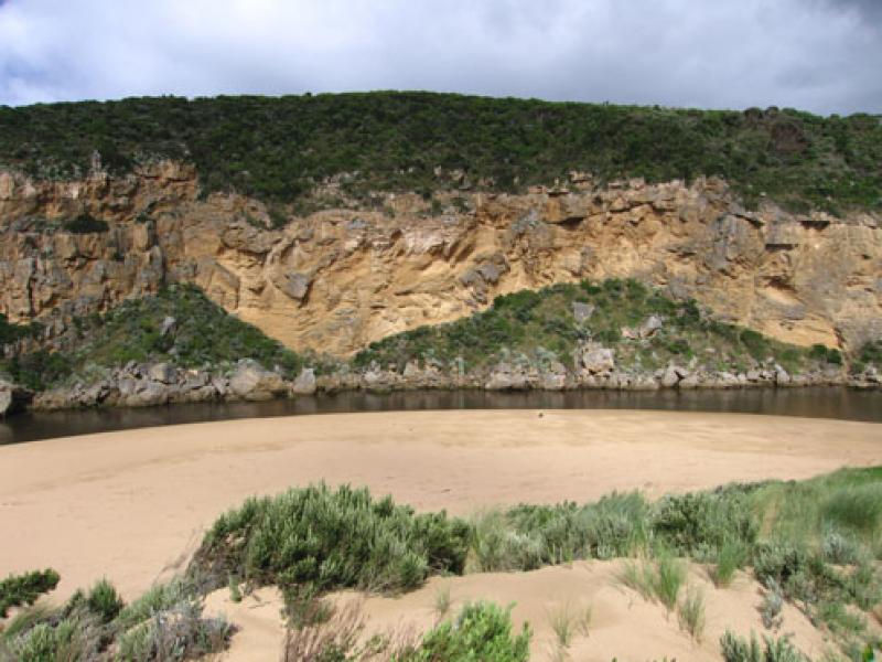
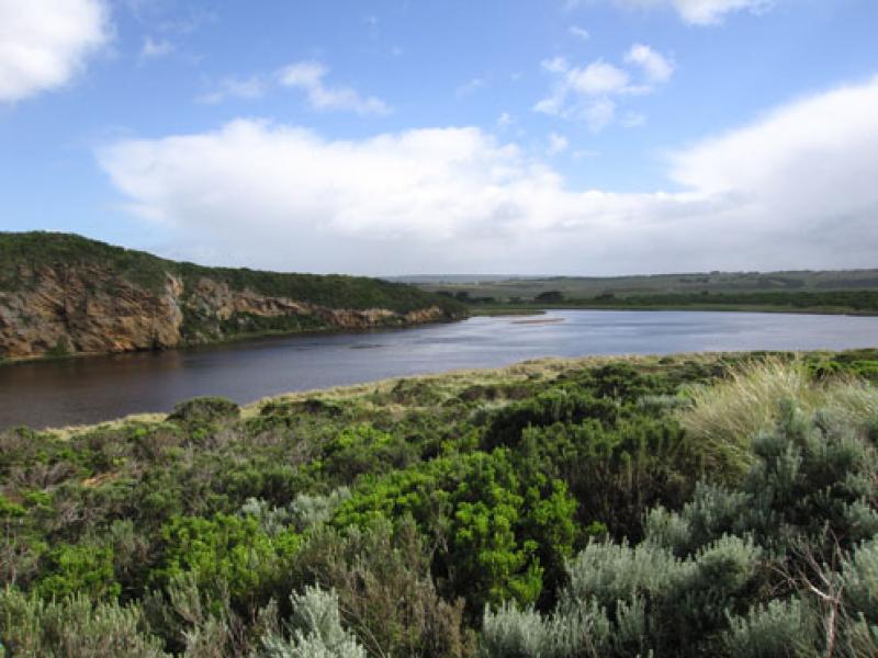
1.Increased flow from recent rainfall (55ml since 07/12/10) - very dark discharge along foreshore to the eastern end of beach then out to sea
2.Width of channel has increased with strong flow on both sides of rocks. Water has 'cut' into bank
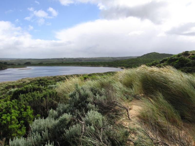
3.More water in estuary
4. Waves travelling on an angle across mouth and impacting on east end of beach which is covered with brown scum and foam
5.Longshore drift is bringing more sand to mouith and channel


We acknowledge and respect Victorian Traditional Owners as the original custodians of Victoria’s land and waters, their unique ability to care for Country and deep spiritual connection to it.
We honour Elders past and present whose knowledge and wisdom has ensured the continuation of culture and traditional practices.
We honour Elders past and present whose knowledge and wisdom has ensured the continuation of culture and traditional practices.
 All content, files, data and images provided by the EstuaryWatch Data Portal subject to a Creative Commons Attribution License
Data portal by CeRDI
All content, files, data and images provided by the EstuaryWatch Data Portal subject to a Creative Commons Attribution License
Data portal by CeRDI