GMC Gellibrand River Estuary Mouth Observation Site
5 November 2010
Observation details
Overview
| Estuary | Gellibrand River Estuary |
|---|---|
| Site | Gellibrand River Estuary Mouth Observation Site |
| Observation ID | #4647 |
| Date and Time | Friday 5th November 2010 09:55am |
| Approved | Approved |
Notes
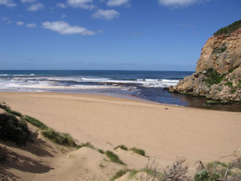
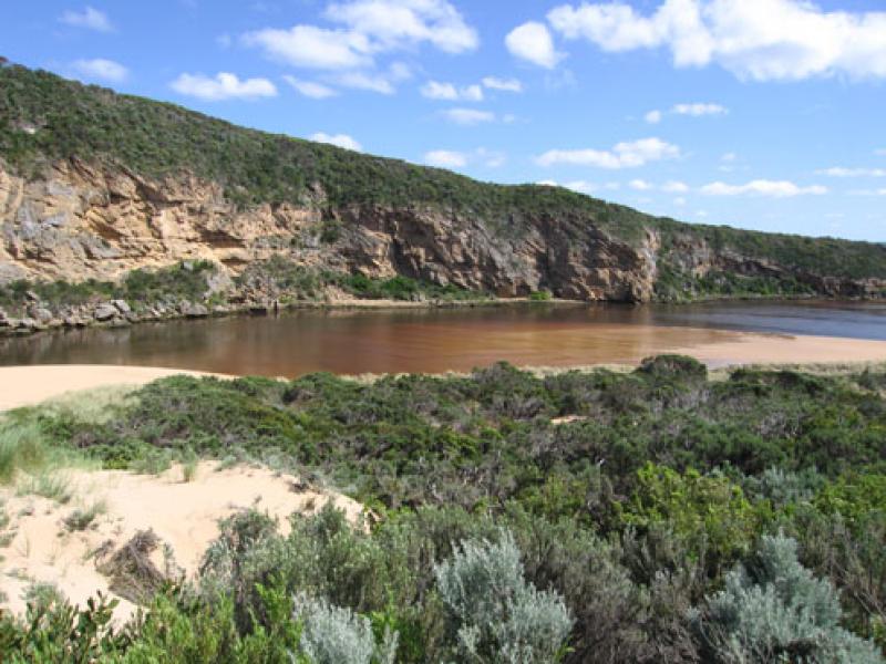
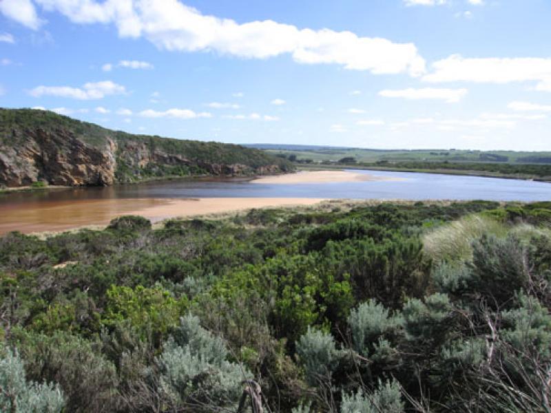
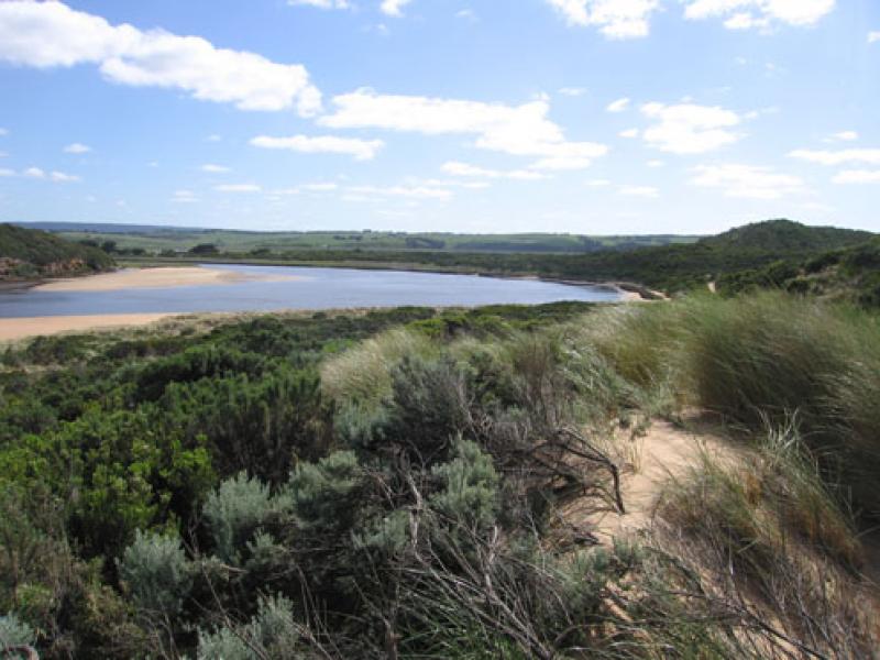
1. Strong dark discharge around mouth and along foreshore, also straight out to sea for a considerable distance
2.Longshore drift bringing more sand back to entrance
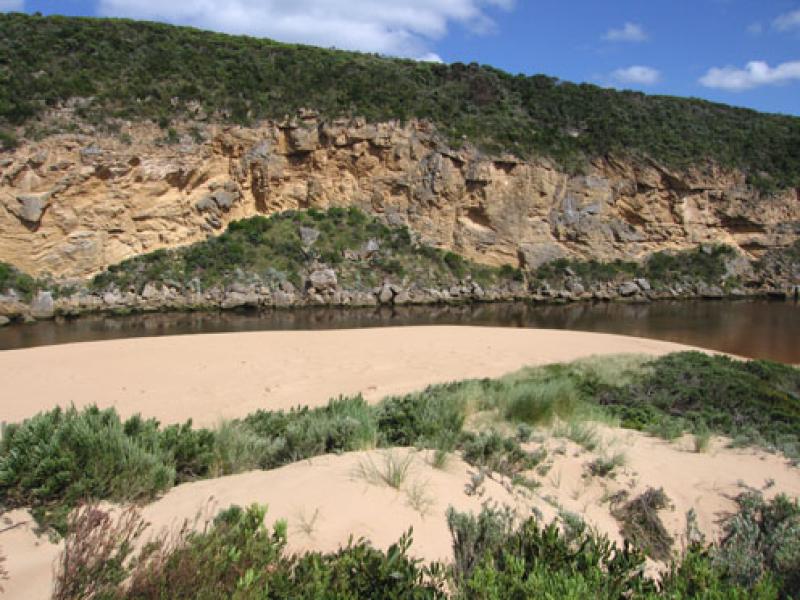
3.Steep side to channel upstream of rocks (1m.) possibly caused by strong flow from recent heavy rain
4. Increase of sand on east side of channel opposite tunnel
5.Seagrass in estuary greatly reduced some areas covered by sand from recent re-configuration of east side
6. Huge increase of Senecio elegans
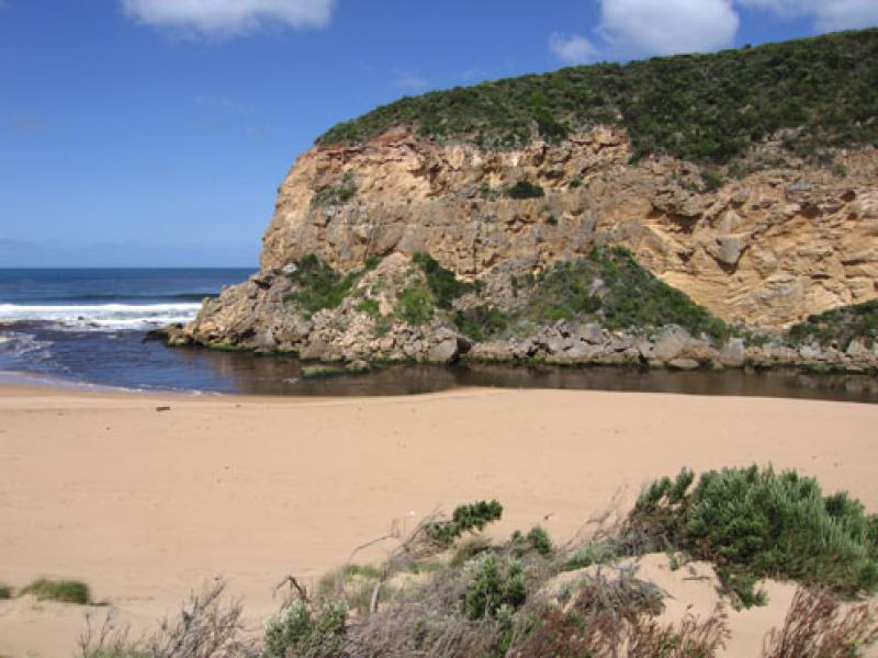
7.Dark sand and turbidity deposits on ocean beach
8. Hooded plover prints on ocean beach (these were crossed by fox prints)
8.Shearwaters 70 found dead on beach. (Parks reported 74 on Gibsons beach & and fishermen reported many more on beaches between Princetown & Moonlight Head
We acknowledge and respect Victorian Traditional Owners as the original custodians of Victoria’s land and waters, their unique ability to care for Country and deep spiritual connection to it.
We honour Elders past and present whose knowledge and wisdom has ensured the continuation of culture and traditional practices.
We honour Elders past and present whose knowledge and wisdom has ensured the continuation of culture and traditional practices.
 All content, files, data and images provided by the EstuaryWatch Data Portal subject to a Creative Commons Attribution License
Data portal by CeRDI
All content, files, data and images provided by the EstuaryWatch Data Portal subject to a Creative Commons Attribution License
Data portal by CeRDI