GMC Gellibrand River Estuary Mouth Observation Site
24 September 2010
Observation details
Overview
| Estuary | Gellibrand River Estuary |
|---|---|
| Site | Gellibrand River Estuary Mouth Observation Site |
| Observation ID | #4501 |
| Date and Time | Friday 24th September 2010 11:35am |
| Approved | Approved |
Notes
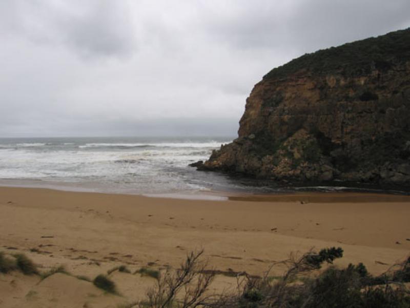
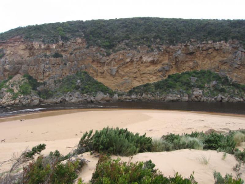
1. Dark & sandy discharge around mouth, to sw & w
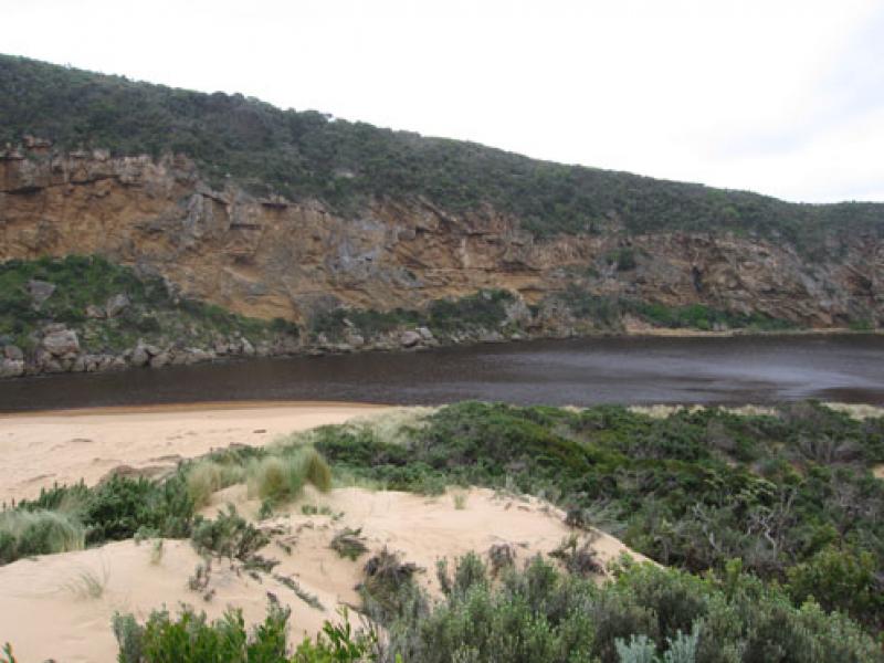
2.Channel reduced in width, flowing against west cliff.
Flowing both sides of rocks
2.Larger area of ocean beach exposed, black sand in areas mid beach. Lots of rubbish all along beach
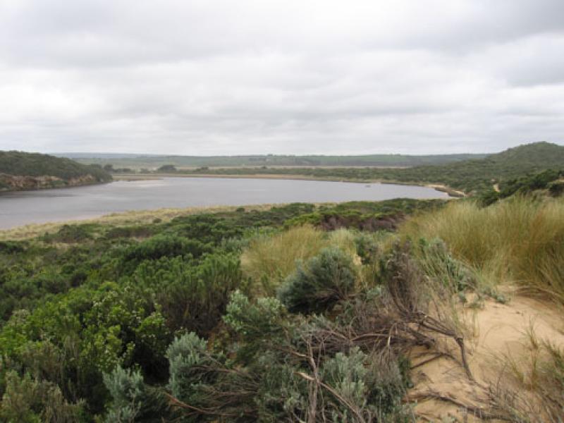
3.Water continuing to erode east side of channel (sand dunes). Also east & south sides of estuary Channels & sand build up are occuring on east side of estuary
4.Several small rocks have fallen from cliff face above entrance to tunnel
5.On 22/09/10 1 dead penguin was found on ocean beach - east end and another was rescued from the next beach and taken to Parks
Mouth Observation
| Mouth state | Open |
|---|---|
| Previous | |
| Flow Present? | Yes |
| Previous | |
| Flow Direction | Out |
| Previous |
| Above Sea | Above Estuary | |
|---|---|---|
| Berm Height (m) | ||
| Berm Length (m) |
Physical Condition
| Current | Mode | |
|---|---|---|
| Wind Direction | North-West | South-West |
| Beaufort Scale | High wind, moderate gale, near gale | Strong breeze |
| Sea State | Rough | Rough |

We acknowledge and respect Victorian Traditional Owners as the original custodians of Victoria’s land and waters, their unique ability to care for Country and deep spiritual connection to it.
We honour Elders past and present whose knowledge and wisdom has ensured the continuation of culture and traditional practices.
We honour Elders past and present whose knowledge and wisdom has ensured the continuation of culture and traditional practices.
 All content, files, data and images provided by the EstuaryWatch Data Portal subject to a Creative Commons Attribution License
Data portal by CeRDI
All content, files, data and images provided by the EstuaryWatch Data Portal subject to a Creative Commons Attribution License
Data portal by CeRDI