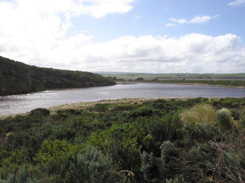
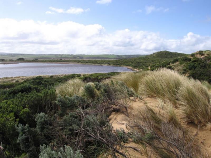
GMC Gellibrand River Estuary Mouth Observation Site
10 September 2010
Observation details
Overview
| Estuary | Gellibrand River Estuary |
|---|---|
| Site | Gellibrand River Estuary Mouth Observation Site |
| Observation ID | #4421 |
| Date and Time | Friday 10th September 2010 12:30pm |
| Approved | Approved |
Notes
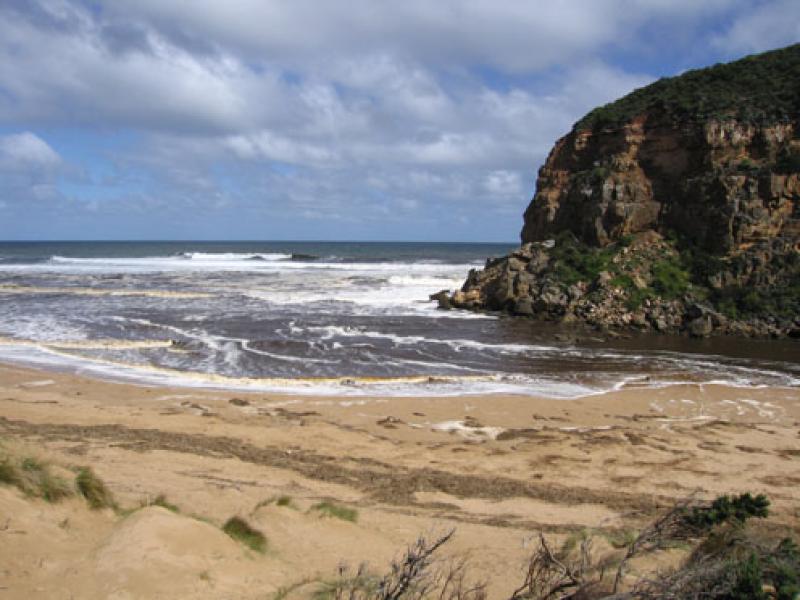
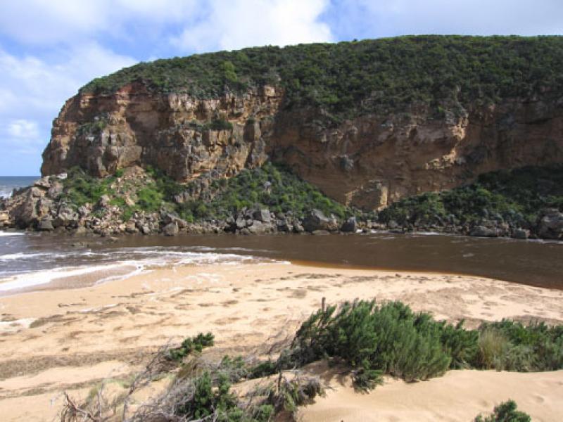
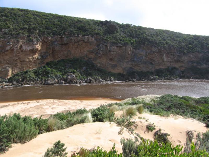
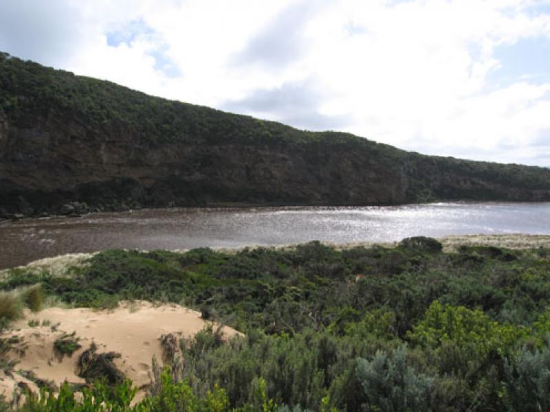
1.Strong out flow, dark discharge to both east & west
2.Waves in all directions at mouth, some travelling along the channel and swinging east into the estuary where they are impacting on the side of the dunes (increaced height) and east side of estuary. The end of the high track from the ocean carpark now has a drop of about 2.5m into deep water.
We acknowledge and respect Victorian Traditional Owners as the original custodians of Victoria’s land and waters, their unique ability to care for Country and deep spiritual connection to it.
We honour Elders past and present whose knowledge and wisdom has ensured the continuation of culture and traditional practices.
We honour Elders past and present whose knowledge and wisdom has ensured the continuation of culture and traditional practices.
 All content, files, data and images provided by the EstuaryWatch Data Portal subject to a Creative Commons Attribution License
Data portal by CeRDI
All content, files, data and images provided by the EstuaryWatch Data Portal subject to a Creative Commons Attribution License
Data portal by CeRDI