GMC Gellibrand River Estuary Mouth Observation Site
17 August 2010
Observation details
Overview
| Estuary | Gellibrand River Estuary |
|---|---|
| Site | Gellibrand River Estuary Mouth Observation Site |
| Observation ID | #4221 |
| Date and Time | Tuesday 17th August 2010 15:30pm |
| Approved | Approved |
Notes
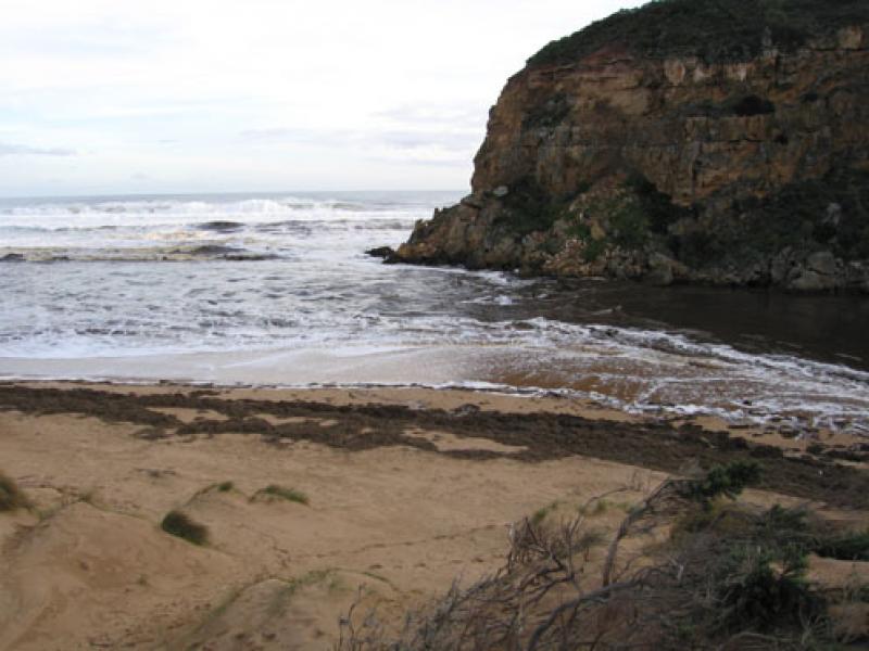
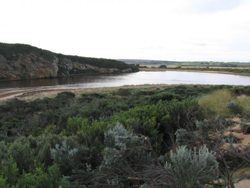
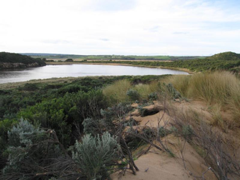
1. Strong outflow, waves dark brown full length of beach and out about 1K. to sea
2.Waver travelling into estuary over sand bars & around to east gouging out bank.Bank on south side has sheer front of about 2-3m.cut into dunes
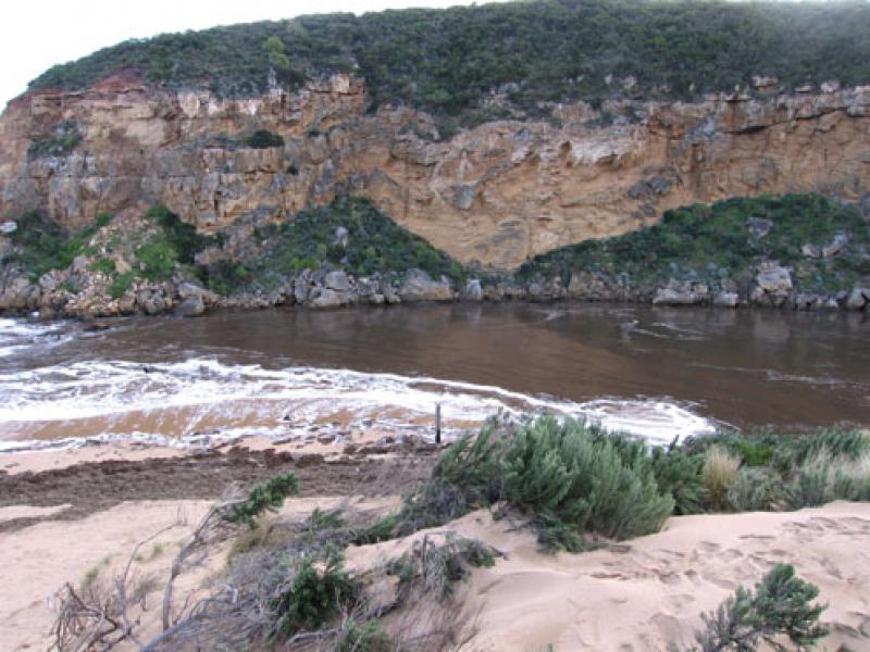
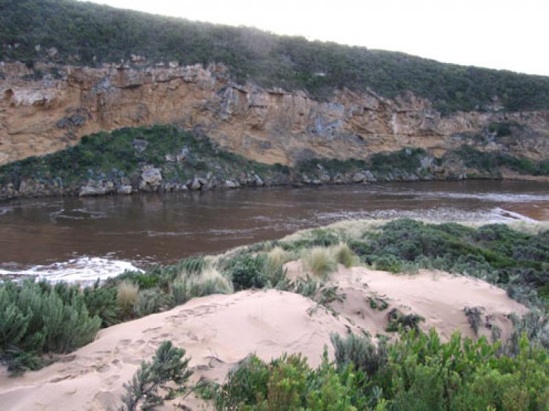
3. Flood water has cut 8-10m. high sheer cliff into dunes on east side of channel
4. Mouth is over 60m. wide(no beach) and 7old piles of break water are exposed
5.Flood water has deposited a huge amount of Phragmites on the beach which is now being returned to the estuary because of reducing force and longshore drift from rough seas
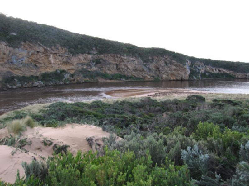
6. Flood water reducing from peak(13.08.10) OOR is clear of water
7.Valley flats are still covered by water
8.G4. deck has been totally removed from bridge and several landslips have occured between G4 &G6.
We acknowledge and respect Victorian Traditional Owners as the original custodians of Victoria’s land and waters, their unique ability to care for Country and deep spiritual connection to it.
We honour Elders past and present whose knowledge and wisdom has ensured the continuation of culture and traditional practices.
We honour Elders past and present whose knowledge and wisdom has ensured the continuation of culture and traditional practices.
 All content, files, data and images provided by the EstuaryWatch Data Portal subject to a Creative Commons Attribution License
Data portal by CeRDI
All content, files, data and images provided by the EstuaryWatch Data Portal subject to a Creative Commons Attribution License
Data portal by CeRDI