GMC Gellibrand River Estuary Mouth Observation Site
13 August 2010
Observation details
Overview
| Estuary | Gellibrand River Estuary |
|---|---|
| Site | Gellibrand River Estuary Mouth Observation Site |
| Observation ID | #4162 |
| Date and Time | Friday 13th August 2010 13:06pm |
| Approved | Approved |
Notes
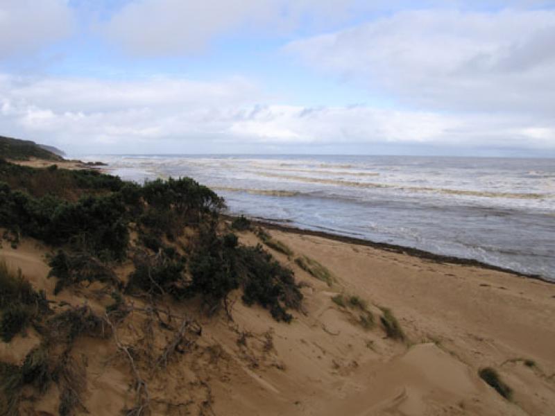
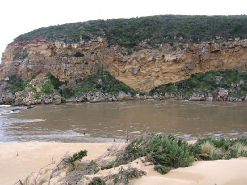
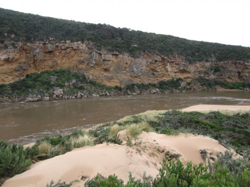
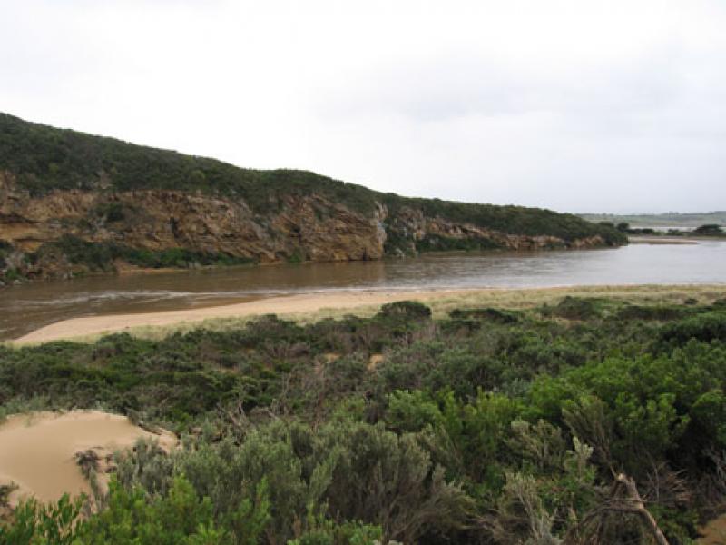
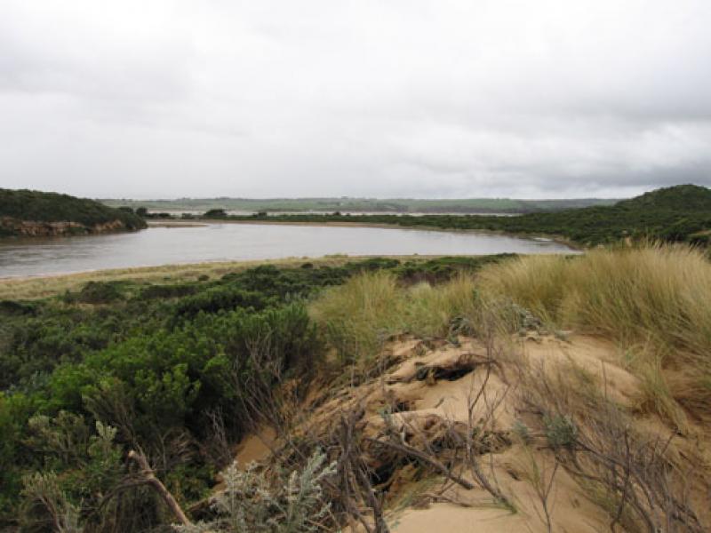
1. Extreme width and force of out flow has cut away south east side of channel causing a 3-4m high cut into the sand dunes
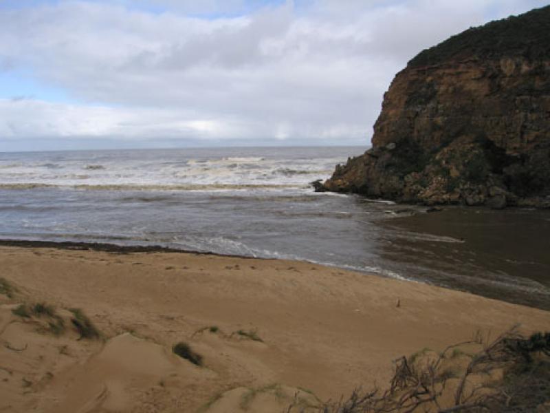
2.Mouth is about 40 to 50m wide, the old breakwater piles are about twice their original height. The base cannot be seen because of the strong flow
3.Beach is covered along the water line by Phragmities debris and logs to height 1m. high - 4m. wide
4.Sea is dark coffee colour and beaches toward Rivernook/Moonlight Head are covered by foam
5.Discharge is visiable to over 1k out to sea
6.Flood seems to have peaked about 07:00
Burrupa 7.0 Bridge totally under water
G6. Water up to top of culverts About 1.5m from bridge deck No markers visiable
G5. bridge underwater
G4. bridge & causeway totally under water
G2 Boardwalk under water
Valley from Princetown to G6 flooded
Flood marker O.O.R 1.2 at 05:30
Water to centre of GOR near Latrobe Creek
We acknowledge and respect Victorian Traditional Owners as the original custodians of Victoria’s land and waters, their unique ability to care for Country and deep spiritual connection to it.
We honour Elders past and present whose knowledge and wisdom has ensured the continuation of culture and traditional practices.
We honour Elders past and present whose knowledge and wisdom has ensured the continuation of culture and traditional practices.
 All content, files, data and images provided by the EstuaryWatch Data Portal subject to a Creative Commons Attribution License
Data portal by CeRDI
All content, files, data and images provided by the EstuaryWatch Data Portal subject to a Creative Commons Attribution License
Data portal by CeRDI