GMC Gellibrand River Estuary Mouth Observation Site
12 August 2010
Observation details
Overview
| Estuary | Gellibrand River Estuary |
|---|---|
| Site | Gellibrand River Estuary Mouth Observation Site |
| Observation ID | #4161 |
| Date and Time | Thursday 12th August 2010 09:50am |
| Approved | Approved |
Notes
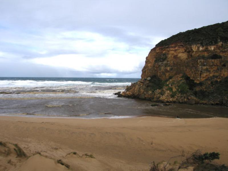
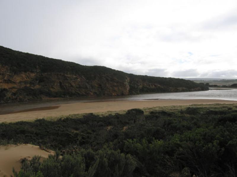
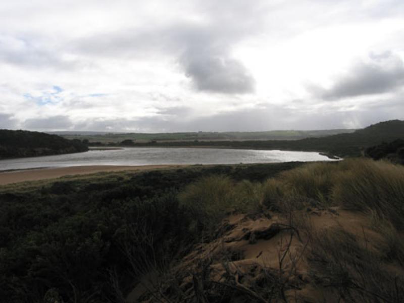
1.Extremely wide strong dark brown discharge flowing out to both east & west
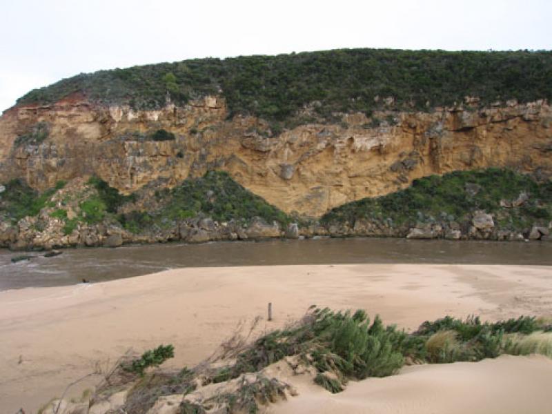
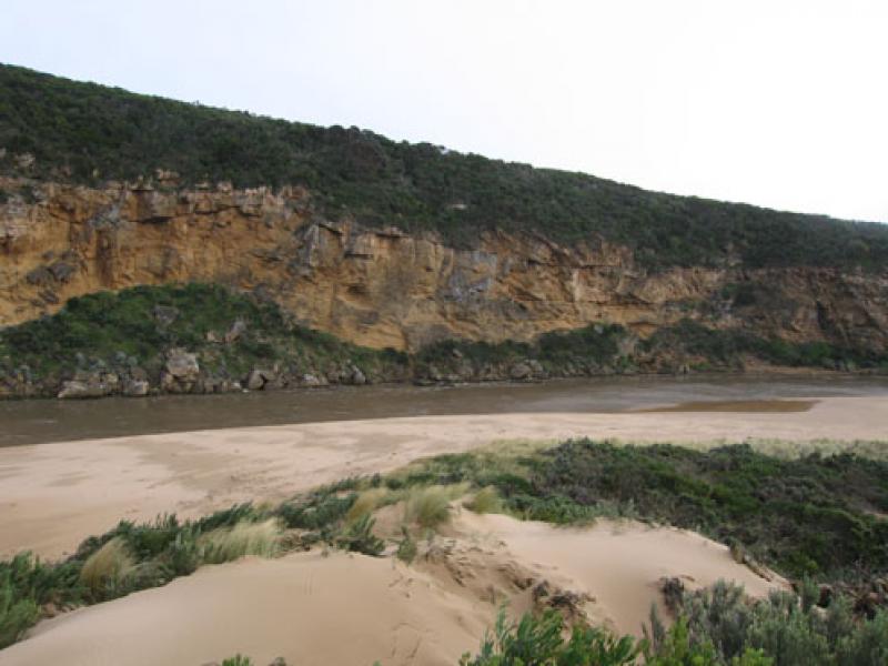
2.Recent strong gale force winds have caused sand dunes to rise about 50cm at site.Vegetation has dissapeared below sand
3.Channel is over 30 m.wide near mouth. Strong flow has formed 2m. high sand 'cliff' along east side of channel
4.Extensive flooding up stream
Burrupa 11: 30 6.5 with east end of bridge in water.
G6.Water flowing strongly through both culverts beside bridge, height marker underwater.
Water about 2 m. below bridge.
Flats flooded from G6 to Mouth.
G4. both bridge and causeway totally underwater.
O.O.R flood marker 0.1
5.Rainfall at G6 07.08.10 to 12.08.10 118ml. much larger falls upstream
We acknowledge and respect Victorian Traditional Owners as the original custodians of Victoria’s land and waters, their unique ability to care for Country and deep spiritual connection to it.
We honour Elders past and present whose knowledge and wisdom has ensured the continuation of culture and traditional practices.
We honour Elders past and present whose knowledge and wisdom has ensured the continuation of culture and traditional practices.
 All content, files, data and images provided by the EstuaryWatch Data Portal subject to a Creative Commons Attribution License
Data portal by CeRDI
All content, files, data and images provided by the EstuaryWatch Data Portal subject to a Creative Commons Attribution License
Data portal by CeRDI