GMC Gellibrand River Estuary Mouth Observation Site
6 August 2010
Observation details
Overview
| Estuary | Gellibrand River Estuary |
|---|---|
| Site | Gellibrand River Estuary Mouth Observation Site |
| Observation ID | #4103 |
| Date and Time | Friday 6th August 2010 11:25am |
| Approved | Approved |
Notes
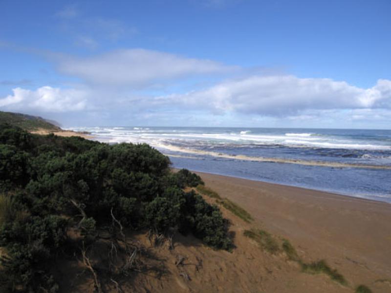
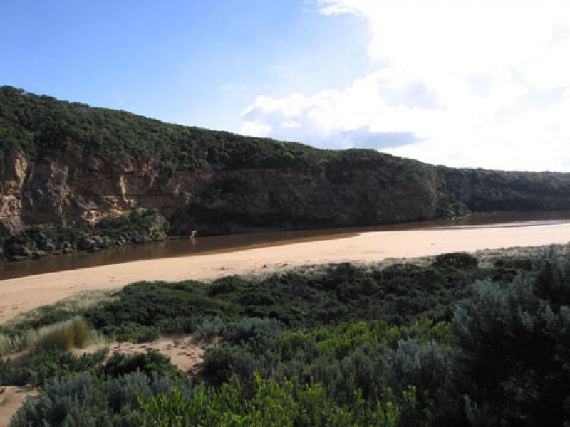
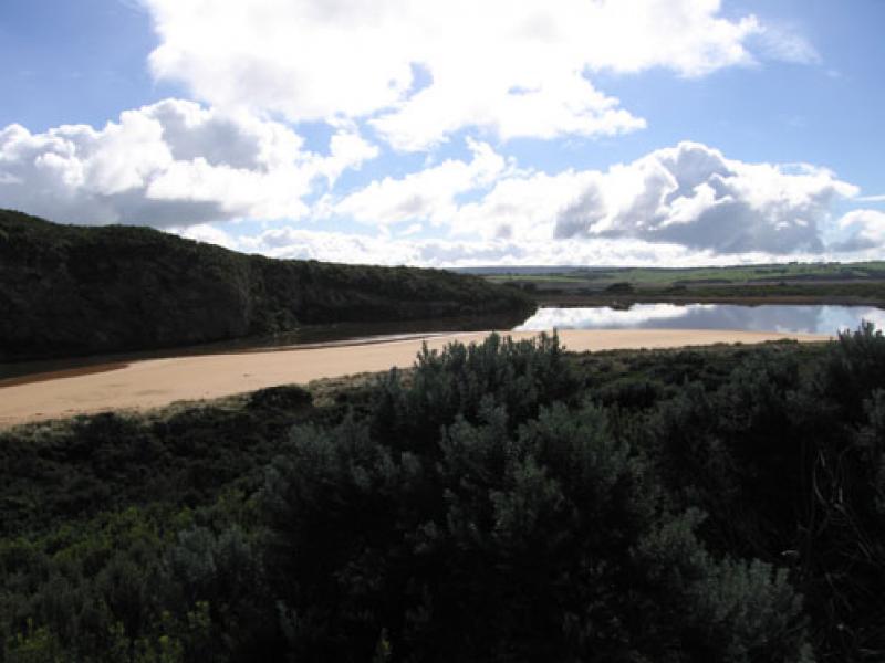
1.Strong outflow with dirty dark brown ochre coloured discharge around mouth & south out to sea. No discharge to east
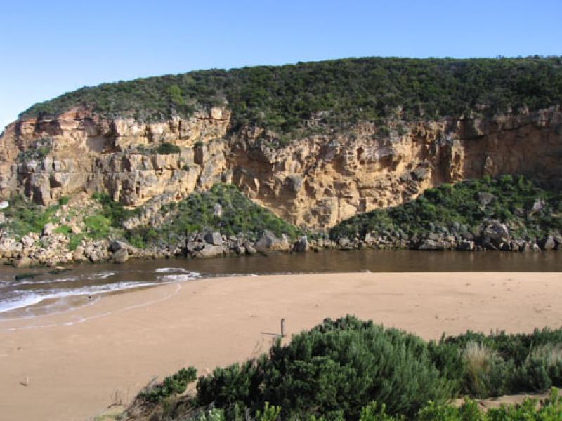
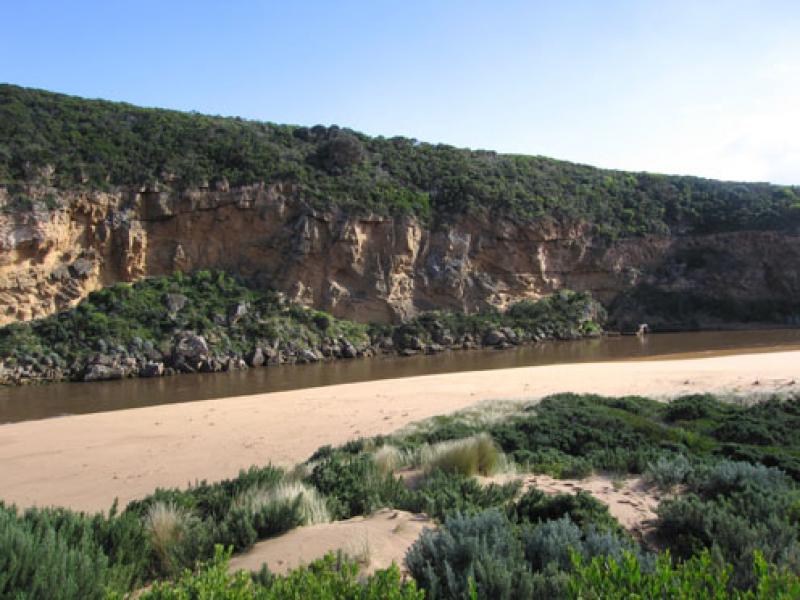
2.Much turbidity in estuary, water opaque with dark deposits of silt left on sand s/e area (also on east end of beach)
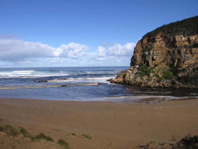
3.Strong outflow from recent heavy rain upstream has caused sand'cliffs' to be formed (1m. high) along channel upstream of rocks
4. Long sand projection into ocean at eastern end of beach. High sand 'cliffs' remain at centre
5.Waves in all directions at mouth, stronger outflow on eastern side of rocks.
6.Longshore drift returning sand back into channel
We acknowledge and respect Victorian Traditional Owners as the original custodians of Victoria’s land and waters, their unique ability to care for Country and deep spiritual connection to it.
We honour Elders past and present whose knowledge and wisdom has ensured the continuation of culture and traditional practices.
We honour Elders past and present whose knowledge and wisdom has ensured the continuation of culture and traditional practices.
 All content, files, data and images provided by the EstuaryWatch Data Portal subject to a Creative Commons Attribution License
Data portal by CeRDI
All content, files, data and images provided by the EstuaryWatch Data Portal subject to a Creative Commons Attribution License
Data portal by CeRDI