GMC Gellibrand River Estuary Mouth Observation Site
31 July 2010
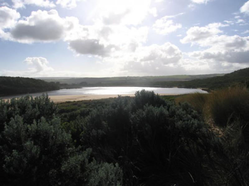
Observation details
Overview
| Estuary | Gellibrand River Estuary |
|---|---|
| Site | Gellibrand River Estuary Mouth Observation Site |
| Observation ID | #4083 |
| Date and Time | Saturday 31st July 2010 10:25am |
| Approved | Approved |
Notes
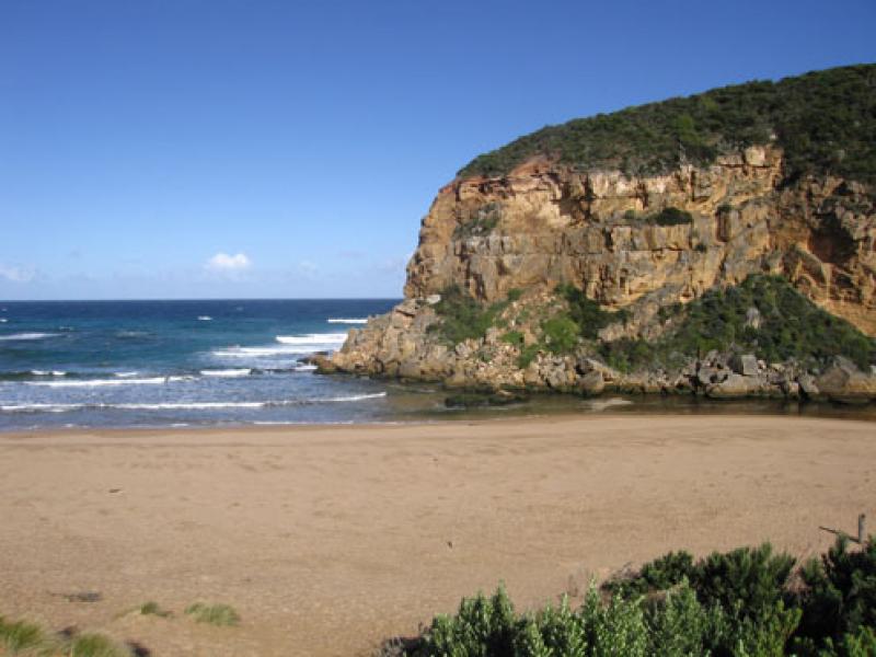
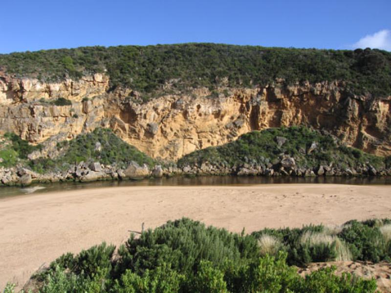
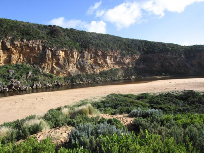
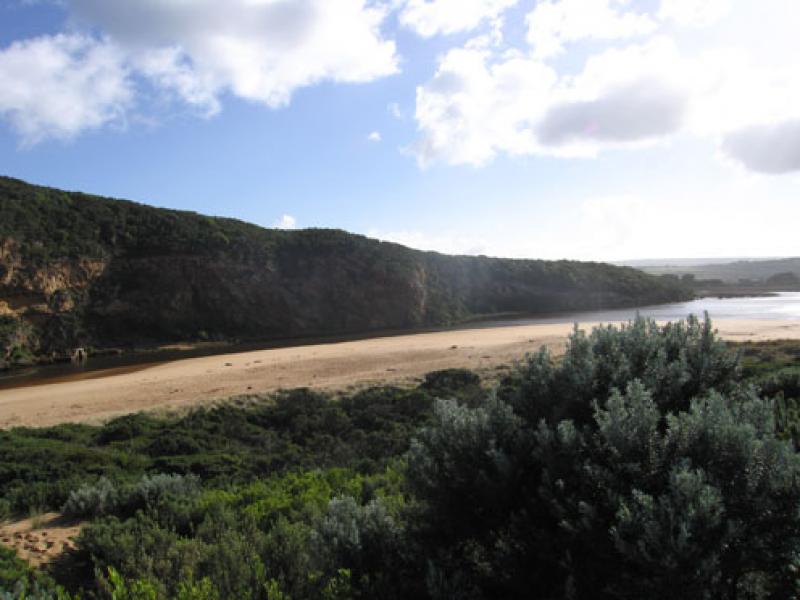
1.Water flowing out but waves entering, salt/fresh divide about 30m. upstream from rocks.
2.Large increase of exposed sand near end of channel (estuary). Channel shallow. Distance from sand to tunnel entrance = 10m.
3.Steep double sand 'cliffs' mid ocean beach
4.Sandbars exposed in estuary
5. Birds - Pied comorant 1, Singing Honeyeaters 3.
We acknowledge and respect Victorian Traditional Owners as the original custodians of Victoria’s land and waters, their unique ability to care for Country and deep spiritual connection to it.
We honour Elders past and present whose knowledge and wisdom has ensured the continuation of culture and traditional practices.
We honour Elders past and present whose knowledge and wisdom has ensured the continuation of culture and traditional practices.
 All content, files, data and images provided by the EstuaryWatch Data Portal subject to a Creative Commons Attribution License
Data portal by CeRDI
All content, files, data and images provided by the EstuaryWatch Data Portal subject to a Creative Commons Attribution License
Data portal by CeRDI