GMC Gellibrand River Estuary Mouth Observation Site
11 June 2010
Observation details
Overview
| Estuary | Gellibrand River Estuary |
|---|---|
| Site | Gellibrand River Estuary Mouth Observation Site |
| Observation ID | #3701 |
| Date and Time | Friday 11th June 2010 12:30pm |
| Approved | Approved |
Notes
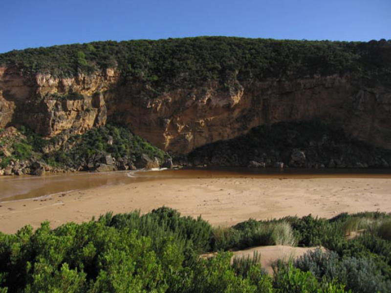
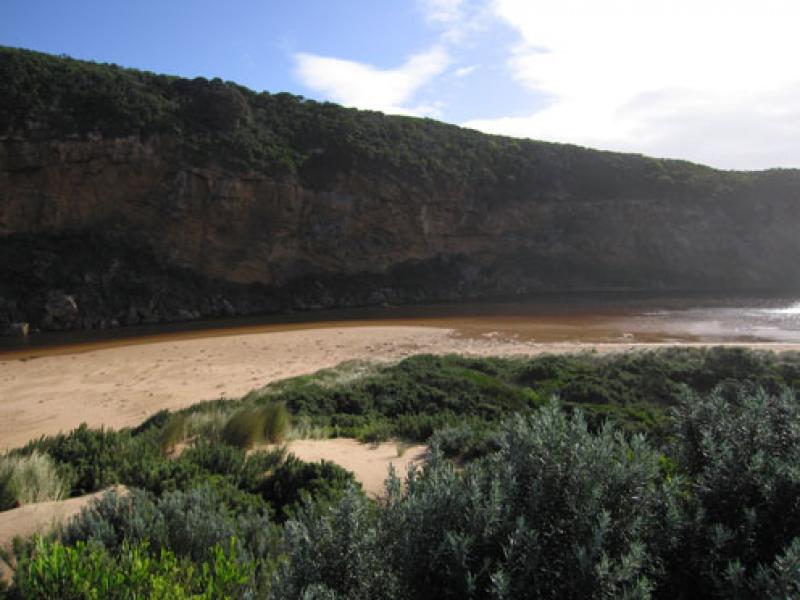
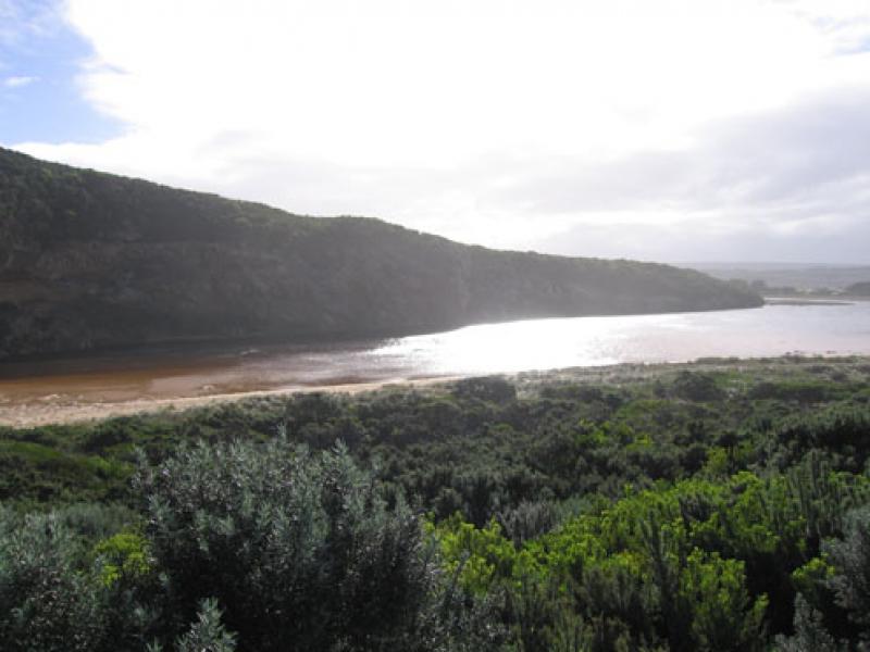
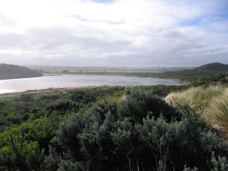
1.Mouth perched with saltwater coming over and up berm to about 30 m where a salt fresh divide occurs in very narrow area.
2.Hi tide - waves reaching 1/2 to dunes and covering wide area but also at times leaving large area of exposed sand showing no channel.One rock has been covered by sand
3.Very strong south wind at mouth but wind gusts in all directions around the estuary. Sand still blowing into channel
Mouth Observation
| Mouth state | Perched |
|---|---|
| Previous | |
| Flow Present? | Yes |
| Previous | |
| Flow Direction | In |
| Previous |
| Above Sea | Above Estuary | |
|---|---|---|
| Berm Height (m) | ||
| Berm Length (m) |
Physical Condition
| Current | Mode | |
|---|---|---|
| Wind Direction | South | South-West |
| Beaufort Scale | High wind, moderate gale, near gale | Strong breeze |
| Sea State | Rough | Rough |

We acknowledge and respect Victorian Traditional Owners as the original custodians of Victoria’s land and waters, their unique ability to care for Country and deep spiritual connection to it.
We honour Elders past and present whose knowledge and wisdom has ensured the continuation of culture and traditional practices.
We honour Elders past and present whose knowledge and wisdom has ensured the continuation of culture and traditional practices.
 All content, files, data and images provided by the EstuaryWatch Data Portal subject to a Creative Commons Attribution License
Data portal by CeRDI
All content, files, data and images provided by the EstuaryWatch Data Portal subject to a Creative Commons Attribution License
Data portal by CeRDI