GMC Gellibrand River Estuary Mouth Observation Site
28 May 2010
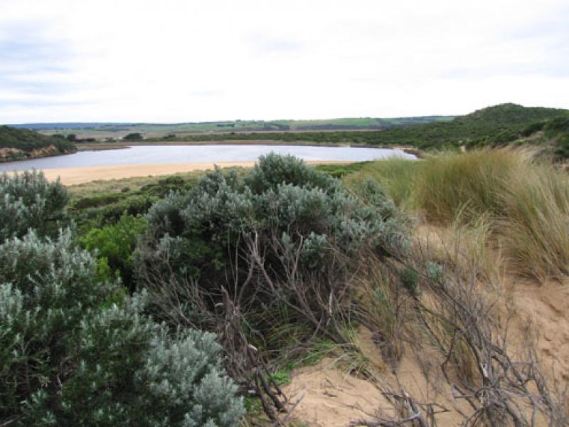
Observation details
Overview
| Estuary | Gellibrand River Estuary |
|---|---|
| Site | Gellibrand River Estuary Mouth Observation Site |
| Observation ID | #3621 |
| Date and Time | Friday 28th May 2010 09:45am |
| Approved | Approved |
Notes
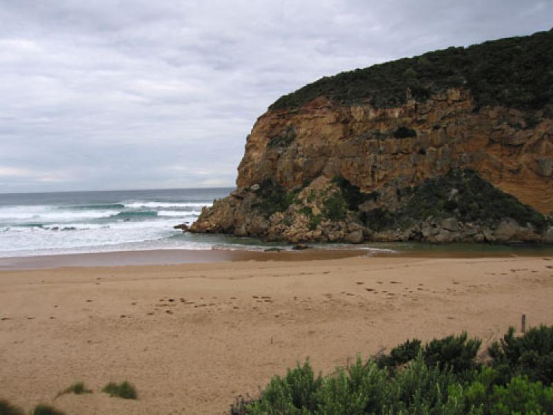
1.Rough sea bringing salt water from mouth along channel past tunnel into the estuary. Waves in all directions at mouth with longshore drift bringing more sand to the mouth and channel upstream of rocks
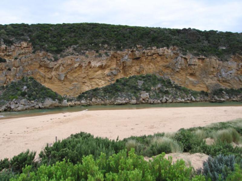
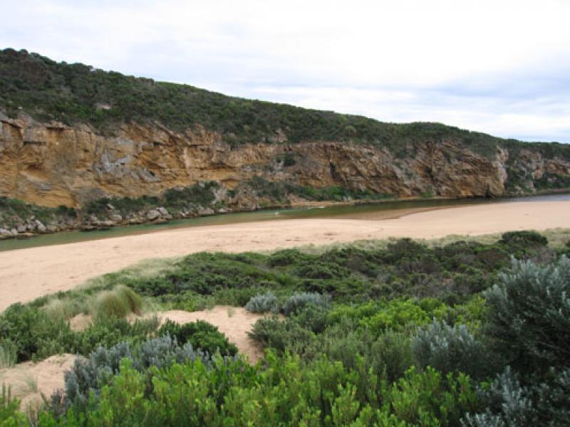
2..Channel between rocks and tunnel very shallow only slightly deeper between rocks and cliff where it narrows to about 2 m. Water and sand swirling around this area
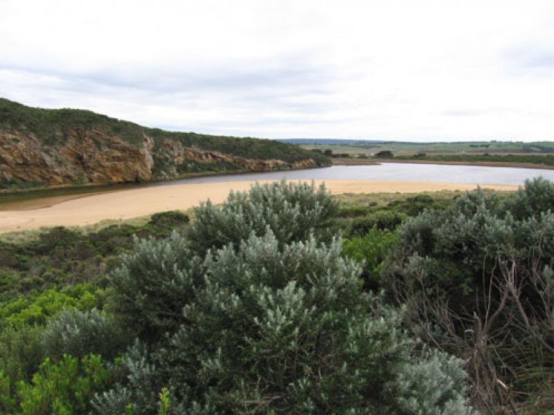
3.Last hi tide covered about 2/3rds of beach
4.Salt fresh divide at tunnel at 10:05 but had moved well into estuary by 10:45
5.All boards have gone from gate at entrance to tunnel
6.Kestrel over estuary
We acknowledge and respect Victorian Traditional Owners as the original custodians of Victoria’s land and waters, their unique ability to care for Country and deep spiritual connection to it.
We honour Elders past and present whose knowledge and wisdom has ensured the continuation of culture and traditional practices.
We honour Elders past and present whose knowledge and wisdom has ensured the continuation of culture and traditional practices.
 All content, files, data and images provided by the EstuaryWatch Data Portal subject to a Creative Commons Attribution License
Data portal by CeRDI
All content, files, data and images provided by the EstuaryWatch Data Portal subject to a Creative Commons Attribution License
Data portal by CeRDI