GMC Gellibrand River Estuary Mouth Observation Site
7 May 2010
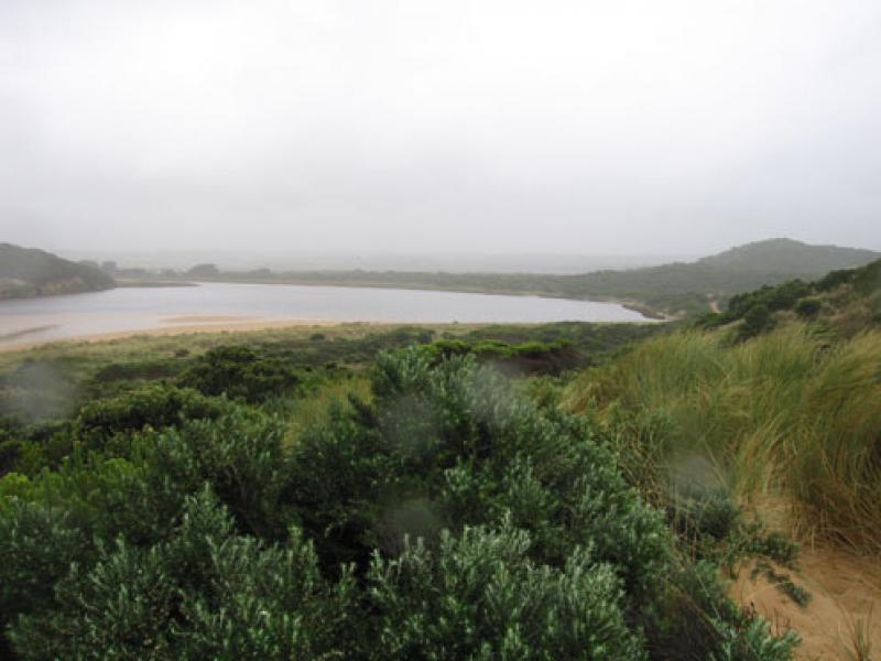
Observation details
Overview
| Estuary | Gellibrand River Estuary |
|---|---|
| Site | Gellibrand River Estuary Mouth Observation Site |
| Observation ID | #3521 |
| Date and Time | Friday 7th May 2010 10:15am |
| Approved | Approved |
Notes
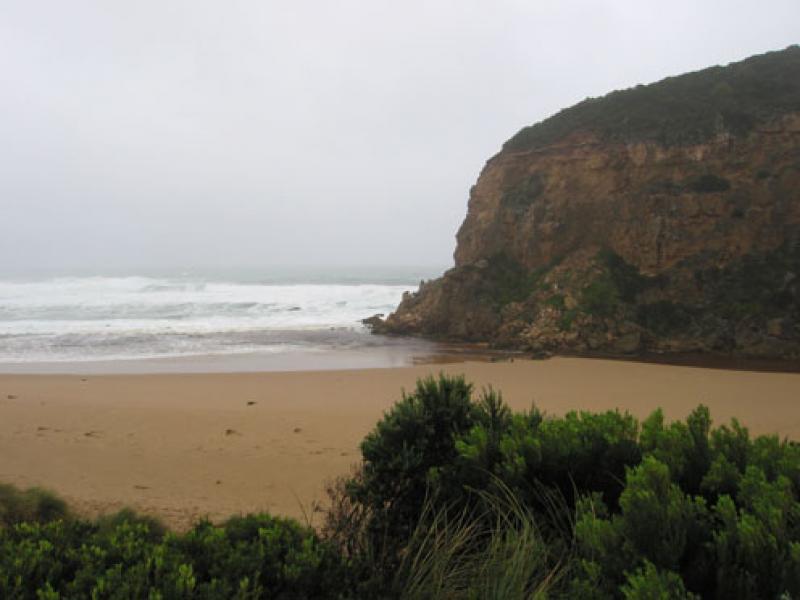
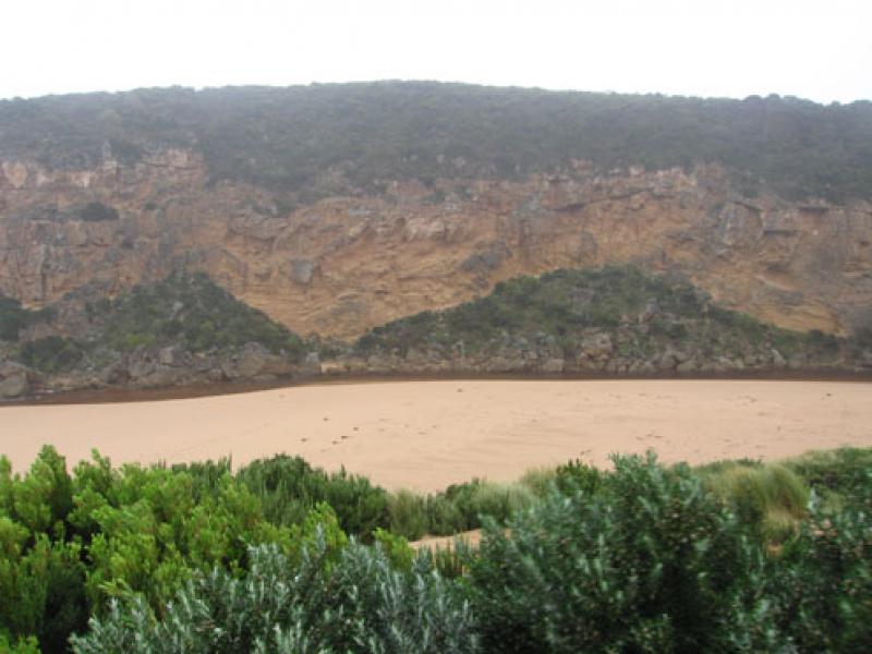
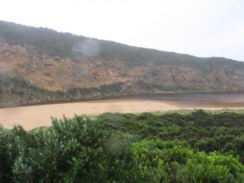
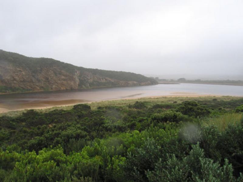
1.Flowing out over wide shallow area. Rough seas entering across a wide area, waves in all directions. Longshore drift bring sand back into the channel both infront of rocks and upstream
2.Beach front is a very gradual slope to sea
3.Wet and windy
4.Banded rail near car park. Swamp harrier near G2
We acknowledge and respect Victorian Traditional Owners as the original custodians of Victoria’s land and waters, their unique ability to care for Country and deep spiritual connection to it.
We honour Elders past and present whose knowledge and wisdom has ensured the continuation of culture and traditional practices.
We honour Elders past and present whose knowledge and wisdom has ensured the continuation of culture and traditional practices.
 All content, files, data and images provided by the EstuaryWatch Data Portal subject to a Creative Commons Attribution License
Data portal by CeRDI
All content, files, data and images provided by the EstuaryWatch Data Portal subject to a Creative Commons Attribution License
Data portal by CeRDI