GMC Gellibrand River Estuary Mouth Observation Site
1 May 2010
Observation details
Overview
| Estuary | Gellibrand River Estuary |
|---|---|
| Site | Gellibrand River Estuary Mouth Observation Site |
| Observation ID | #3482 |
| Date and Time | Saturday 1st May 2010 09:30am |
| Approved | Approved |
Notes
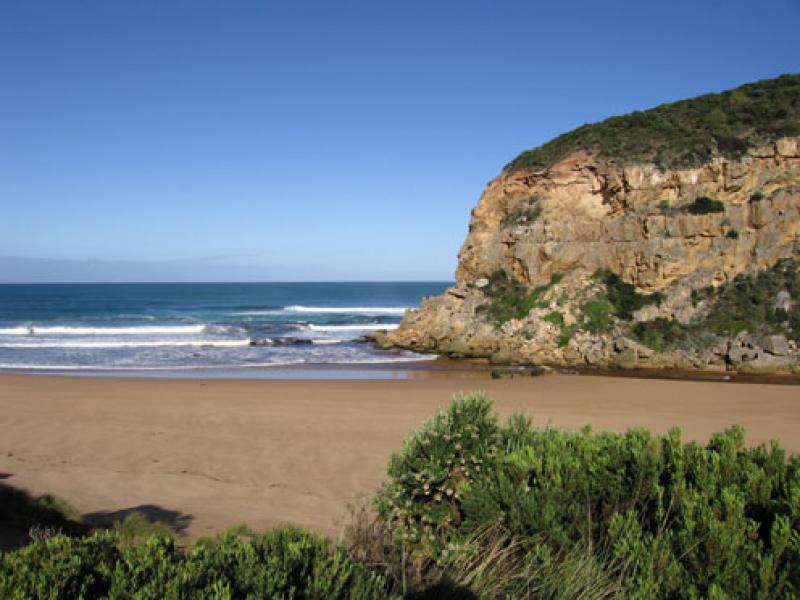
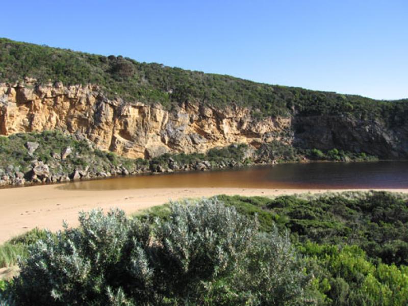
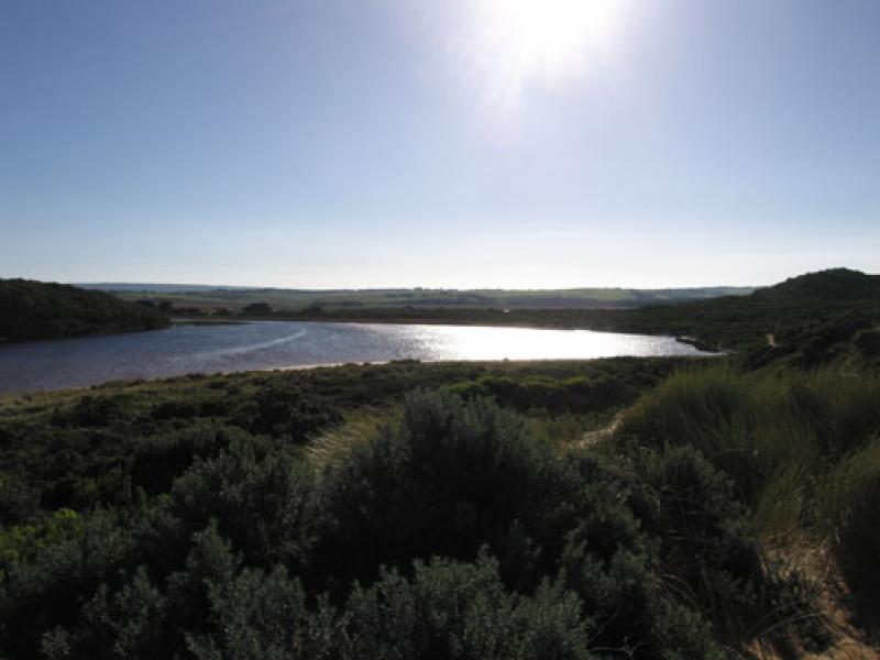
1.River has opened again (observed at low tide) and is flowing over a wide very shallow entrance. There is no distinct deeper chanel downstream of rocks
2. Slight dark discharge around mouth and to east.
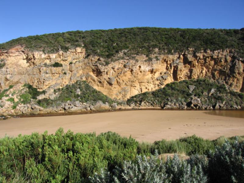
3.Stronger flow upstream of rocks has cut a channel about 7m. wide & 1m. deep with about 70cm sides which are collapsing into the flow. Flow decreases and becomes more shallow after rocks
4.Waves in all directions at mouth -longshore drift returning more sand
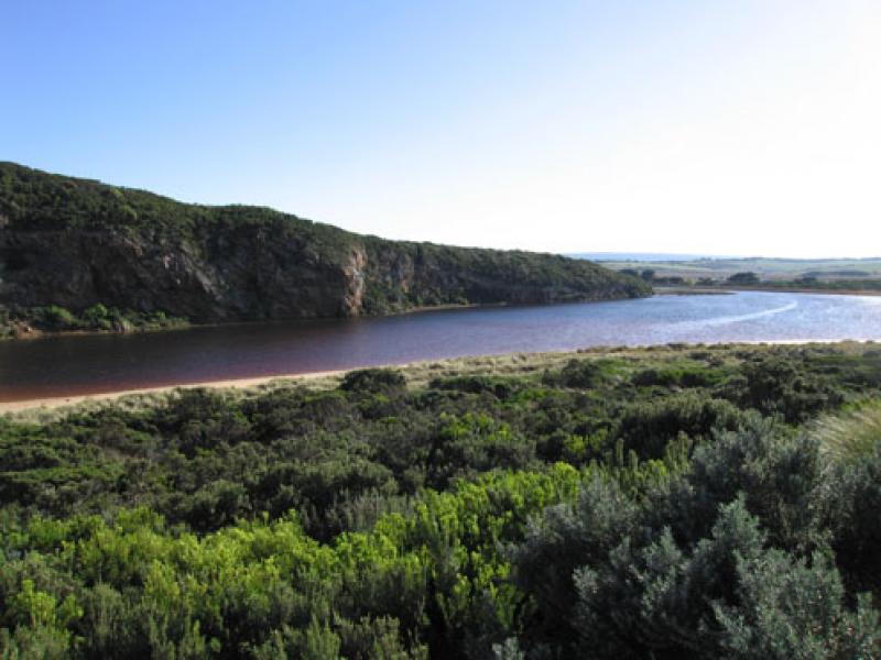
5.Water levels have risen in both Latrobe and Northern wetlands. (44ml. recorded at G6 during past week.)
5.Huge cat seen near camping ground
We acknowledge and respect Victorian Traditional Owners as the original custodians of Victoria’s land and waters, their unique ability to care for Country and deep spiritual connection to it.
We honour Elders past and present whose knowledge and wisdom has ensured the continuation of culture and traditional practices.
We honour Elders past and present whose knowledge and wisdom has ensured the continuation of culture and traditional practices.
 All content, files, data and images provided by the EstuaryWatch Data Portal subject to a Creative Commons Attribution License
Data portal by CeRDI
All content, files, data and images provided by the EstuaryWatch Data Portal subject to a Creative Commons Attribution License
Data portal by CeRDI