GMC Gellibrand River Estuary Mouth Observation Site
30 April 2010
Observation details
Overview
| Estuary | Gellibrand River Estuary |
|---|---|
| Site | Gellibrand River Estuary Mouth Observation Site |
| Observation ID | #3481 |
| Date and Time | Friday 30th April 2010 13:10pm |
| Approved | Approved |
Notes
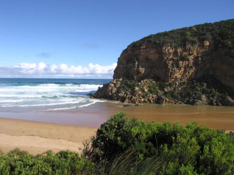
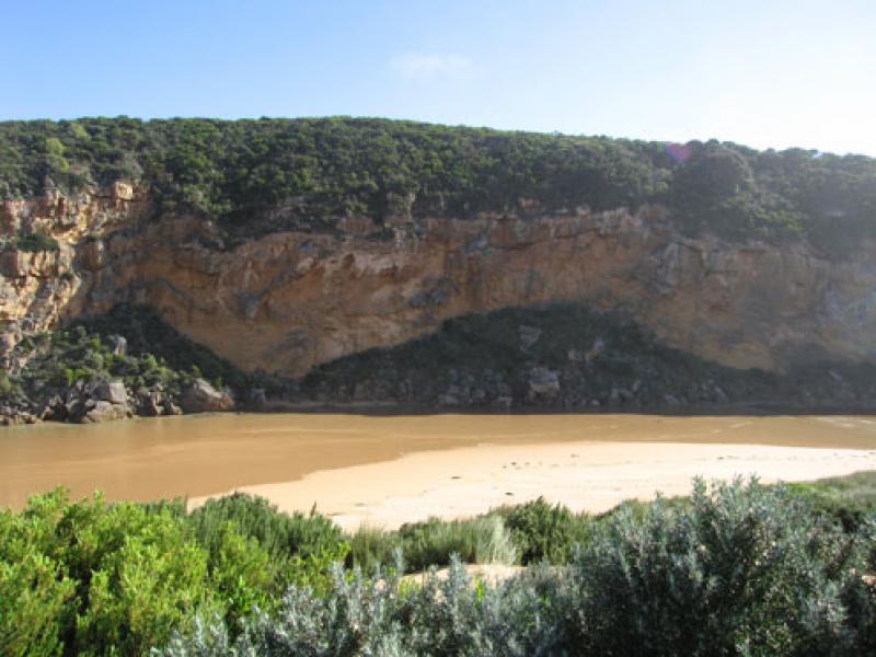
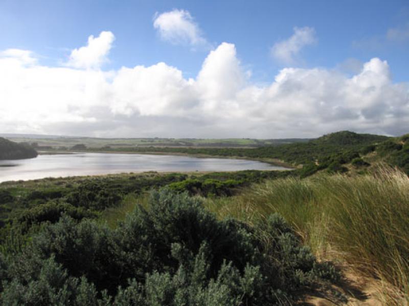
1.Bar has formed from mouth (wide area) to near tunnel. Waves are entering past tunnel into estuary (hi tide).Salt return flowing back to sea
2.Hi tide mark is nearly up to the dunes in the estuary and along beach. Eastern end of beach has been scoured out.
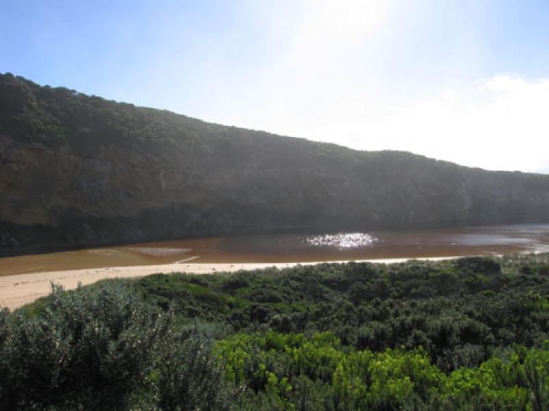
3.Beach has now a long wide gradual slope to sea
4.Lot of 'jelly' on beach
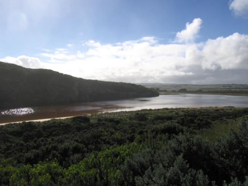
5.Water is over low track around estuary
We acknowledge and respect Victorian Traditional Owners as the original custodians of Victoria’s land and waters, their unique ability to care for Country and deep spiritual connection to it.
We honour Elders past and present whose knowledge and wisdom has ensured the continuation of culture and traditional practices.
We honour Elders past and present whose knowledge and wisdom has ensured the continuation of culture and traditional practices.
 All content, files, data and images provided by the EstuaryWatch Data Portal subject to a Creative Commons Attribution License
Data portal by CeRDI
All content, files, data and images provided by the EstuaryWatch Data Portal subject to a Creative Commons Attribution License
Data portal by CeRDI