GMC Gellibrand River Estuary Mouth Observation Site
5 April 2010
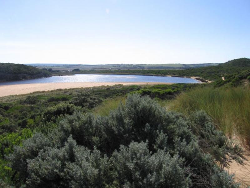
Observation details
Overview
| Estuary | Gellibrand River Estuary |
|---|---|
| Site | Gellibrand River Estuary Mouth Observation Site |
| Observation ID | #3363 |
| Date and Time | Monday 5th April 2010 11:00am |
| Approved | Approved |
Notes
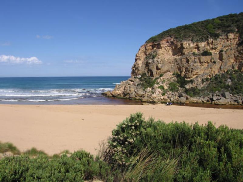
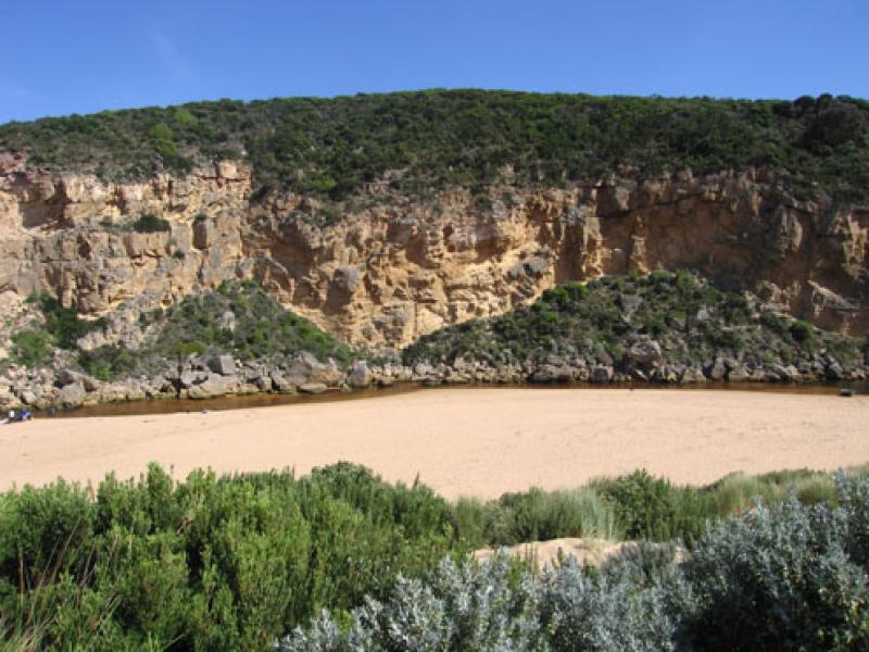
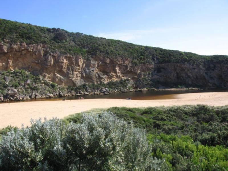
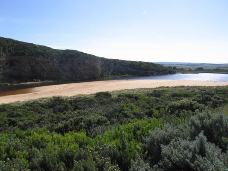
1.Very shallow area between rocks and mouth, longshore drift continually bringing in more sand
2.Flow restricted from rocks back to near tunnel - very shallow
3.Rocks exposed at east end of beach and steep front to beach
4.seagrass beds exposed at east side of estuary. Scum forming along s/e side of estuary
5. Many small (10-15cm) fish along south side of estuary
6.Pied comorant (1)
7.6ml rain on 02.04.100
We acknowledge and respect Victorian Traditional Owners as the original custodians of Victoria’s land and waters, their unique ability to care for Country and deep spiritual connection to it.
We honour Elders past and present whose knowledge and wisdom has ensured the continuation of culture and traditional practices.
We honour Elders past and present whose knowledge and wisdom has ensured the continuation of culture and traditional practices.
 All content, files, data and images provided by the EstuaryWatch Data Portal subject to a Creative Commons Attribution License
Data portal by CeRDI
All content, files, data and images provided by the EstuaryWatch Data Portal subject to a Creative Commons Attribution License
Data portal by CeRDI