GMC Gellibrand River Estuary Mouth Observation Site
13 February 2010
Observation details
Overview
| Estuary | Gellibrand River Estuary |
|---|---|
| Site | Gellibrand River Estuary Mouth Observation Site |
| Observation ID | #3166 |
| Date and Time | Saturday 13th February 2010 08:50am |
| Approved | Approved |
Notes
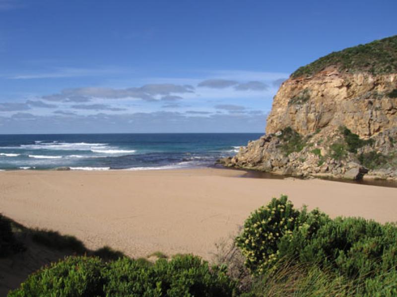
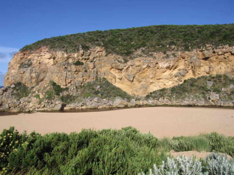
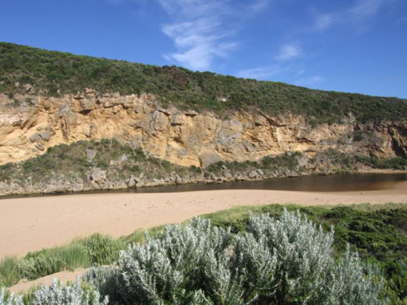
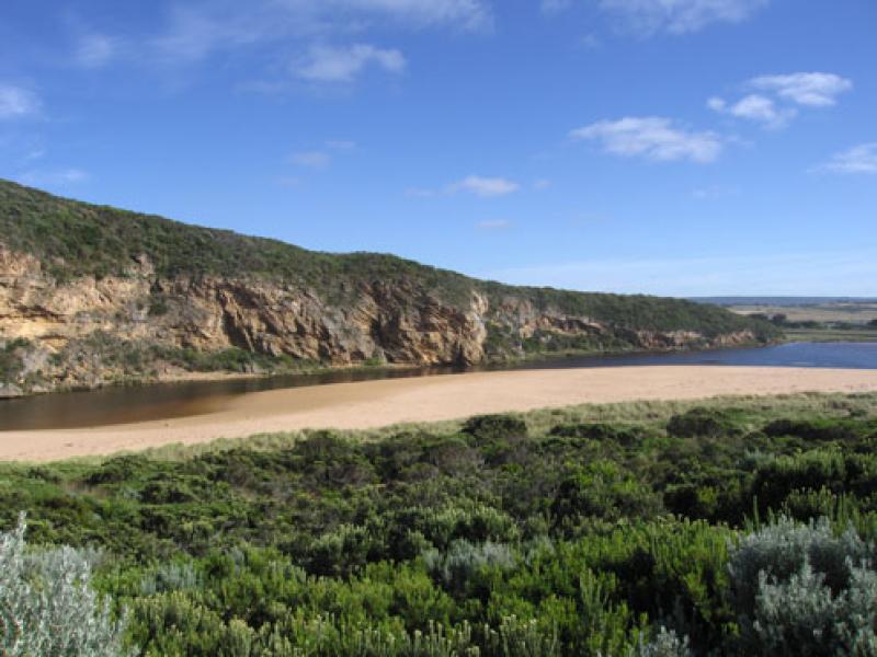
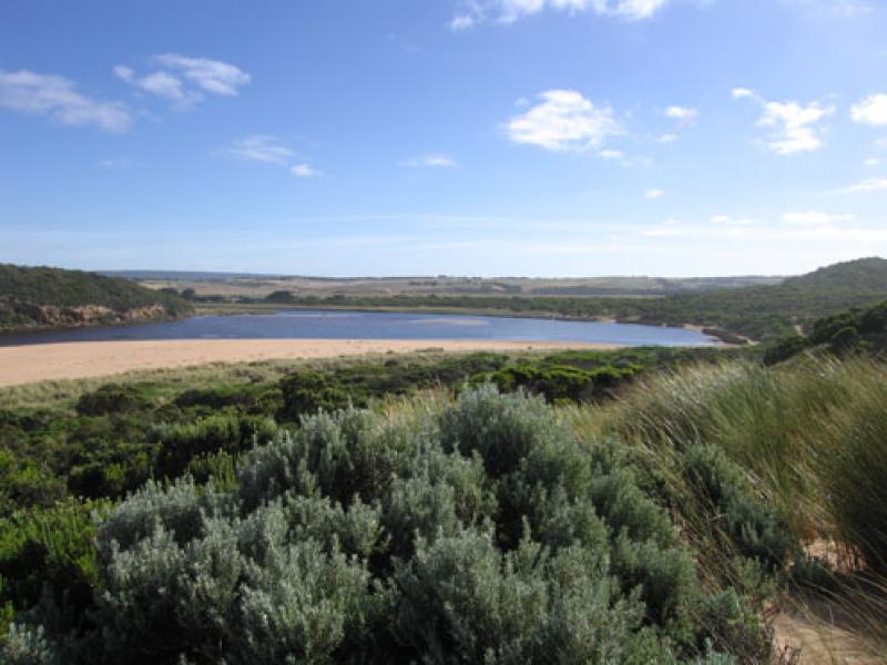
1.Rainfall has increased out flow slightly - discharge around mouth and to west (along in front of cliffs). Sand visiable in waves in that area
2. Sand is still building up infront of the rocks, flow is alongside of cliff . Longshore drift continues to deposit sand in channel
3.Rocks are exposed at east end of beach. Steep front to beach, highest area is mid beach with a slope down to the channel (west) behind rocks.
We acknowledge and respect Victorian Traditional Owners as the original custodians of Victoria’s land and waters, their unique ability to care for Country and deep spiritual connection to it.
We honour Elders past and present whose knowledge and wisdom has ensured the continuation of culture and traditional practices.
We honour Elders past and present whose knowledge and wisdom has ensured the continuation of culture and traditional practices.
 All content, files, data and images provided by the EstuaryWatch Data Portal subject to a Creative Commons Attribution License
Data portal by CeRDI
All content, files, data and images provided by the EstuaryWatch Data Portal subject to a Creative Commons Attribution License
Data portal by CeRDI