GMC Gellibrand River Estuary Mouth Observation Site
26 December 2009
Observation details
Overview
| Estuary | Gellibrand River Estuary |
|---|---|
| Site | Gellibrand River Estuary Mouth Observation Site |
| Observation ID | #2961 |
| Date and Time | Saturday 26th December 2009 07:00am |
| Approved | Approved |
Notes
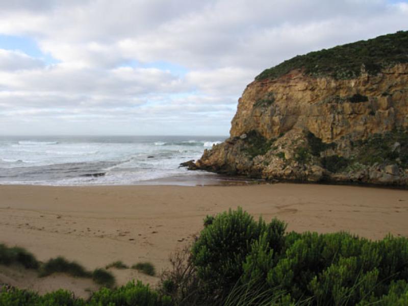
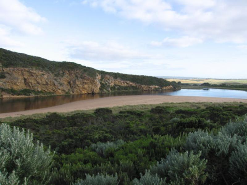
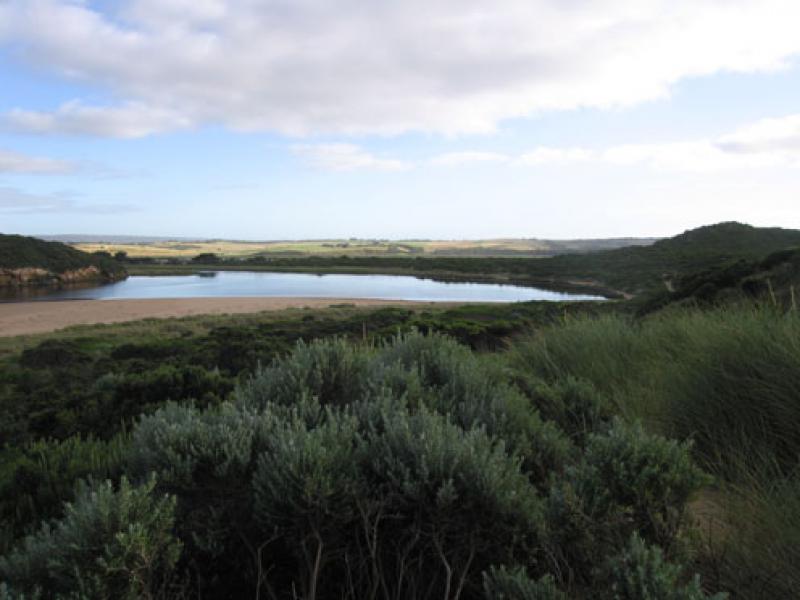
1.Reduced outflow, mainly around mouth & slightly to the east .Some lighter coloured water slightly to west.
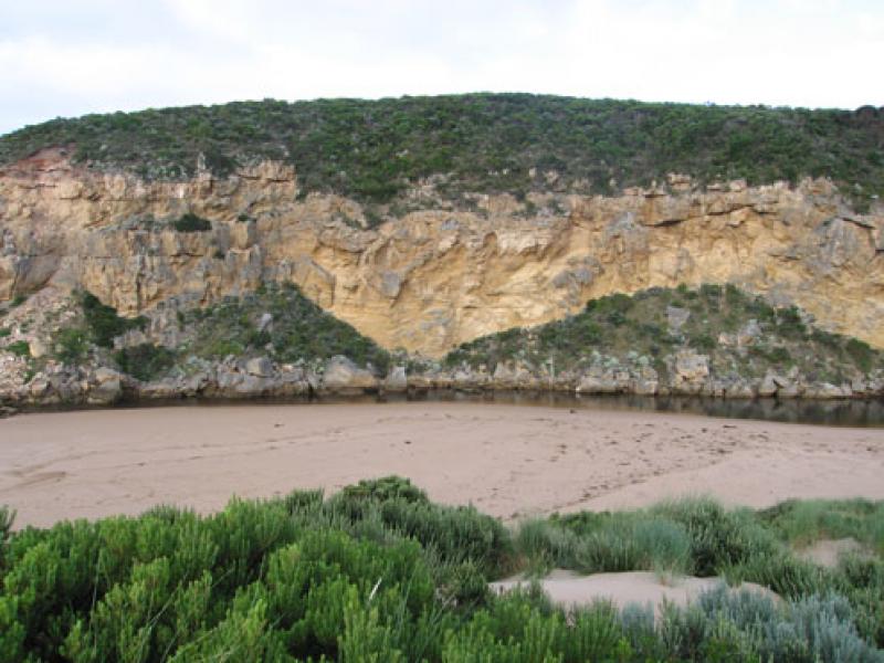
2.Entrance is very shallow and channel has moved to east as sand has built up against the cliff
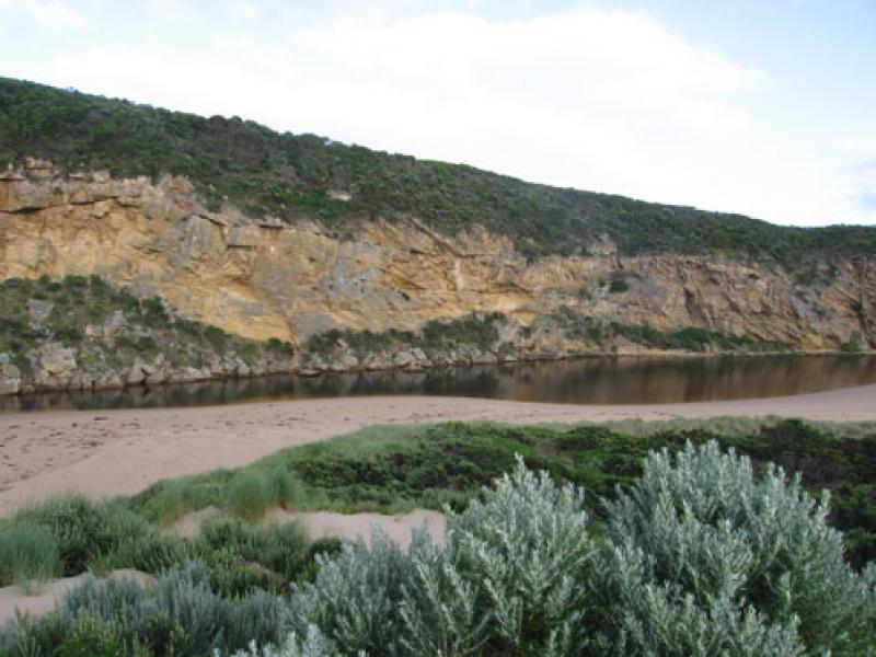
3.Some waves entering estuary down east side of channel. Longshore drift is continuing to bring sand from mid beach into channel. Beach is high/steep above water.
4.Water mark from last high tide- nearly to base of dunes at corner of estuary
5.Channel behind rocks about 4-5m in width
6.Sand covering rocks at east end of beach
7. Kestrels (3) flying around estuary.
8. 2.5ml rain from19.12.09 - 26.12.09
We acknowledge and respect Victorian Traditional Owners as the original custodians of Victoria’s land and waters, their unique ability to care for Country and deep spiritual connection to it.
We honour Elders past and present whose knowledge and wisdom has ensured the continuation of culture and traditional practices.
We honour Elders past and present whose knowledge and wisdom has ensured the continuation of culture and traditional practices.
 All content, files, data and images provided by the EstuaryWatch Data Portal subject to a Creative Commons Attribution License
Data portal by CeRDI
All content, files, data and images provided by the EstuaryWatch Data Portal subject to a Creative Commons Attribution License
Data portal by CeRDI