GMC Gellibrand River Estuary Mouth Observation Site
19 December 2009
Observation details
Overview
| Estuary | Gellibrand River Estuary |
|---|---|
| Site | Gellibrand River Estuary Mouth Observation Site |
| Observation ID | #2941 |
| Date and Time | Saturday 19th December 2009 08:40am |
| Approved | Approved |
Notes
1.Rainfall at G6. (16.12.09-19.12.09).= 36ml
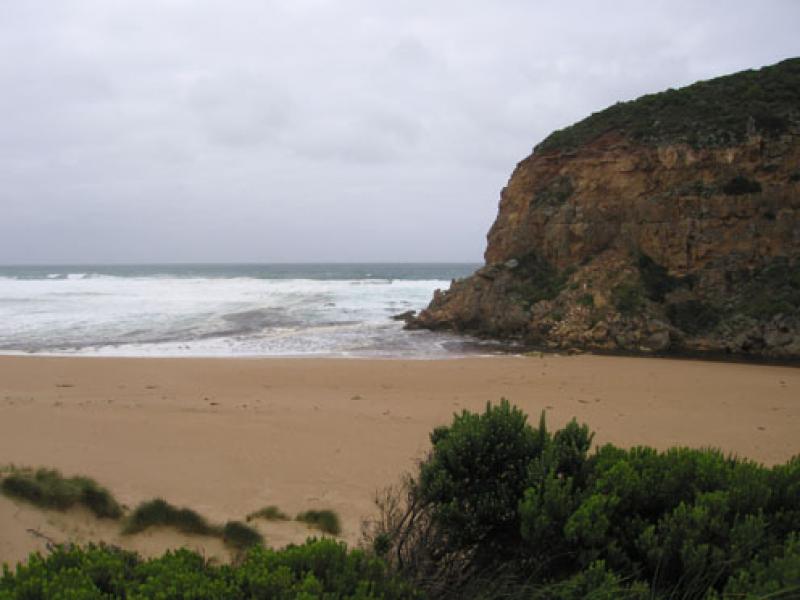
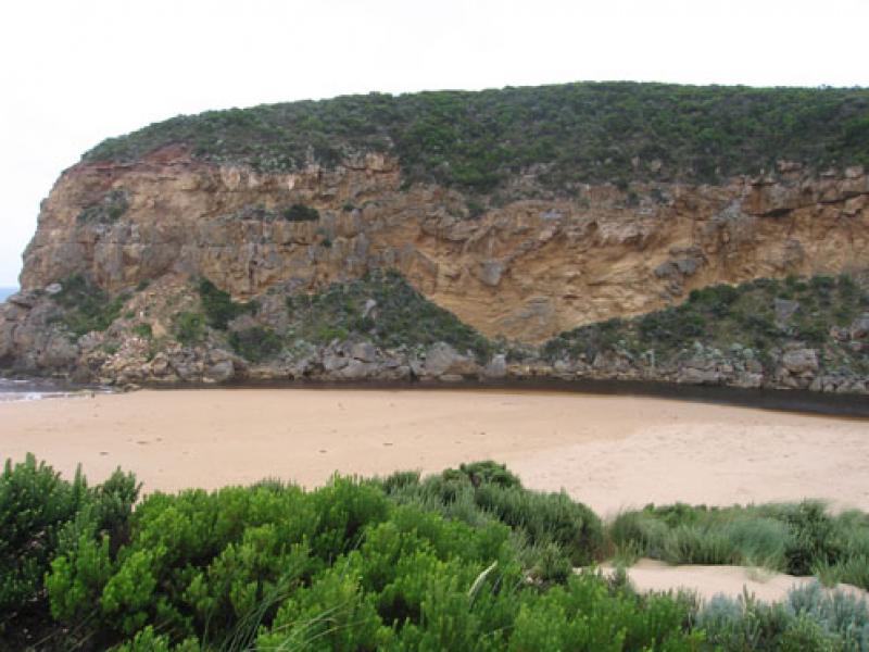
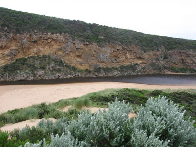
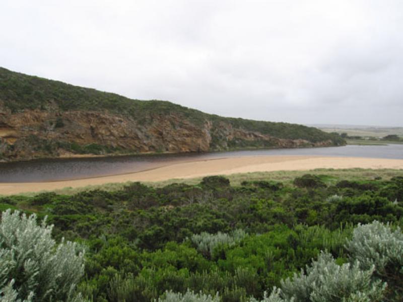
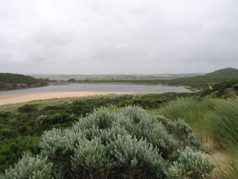
2. More sand at entrance, shallow from rocks to sea.More sand against cliffs
Discharge around mouth and out to 2nd sandbar. Some to about 1/3 to east along shoreline.
3. Longshore drift bringing more sand into channel, water going in all directions at mouth. Occaisonally a small wave entering mouth
4. Sand build up along beach -much higher.
Evidence of water high up on beach and in estuary during last high tide
5.Dark Kestrel near cliffs and around estuary
Mouth Observation
| Mouth state | Open |
|---|---|
| Previous | |
| Flow Present? | Yes |
| Previous | |
| Flow Direction | Out |
| Previous |
| Above Sea | Above Estuary | |
|---|---|---|
| Berm Height (m) | ||
| Berm Length (m) |
Physical Condition
| Current | Mode | |
|---|---|---|
| Wind Direction | South | South-West |
| Beaufort Scale | High wind, moderate gale, near gale | Fresh breeze |
| Sea State | Rough | Moderate |
We acknowledge and respect Victorian Traditional Owners as the original custodians of Victoria’s land and waters, their unique ability to care for Country and deep spiritual connection to it.
We honour Elders past and present whose knowledge and wisdom has ensured the continuation of culture and traditional practices.
We honour Elders past and present whose knowledge and wisdom has ensured the continuation of culture and traditional practices.
 All content, files, data and images provided by the EstuaryWatch Data Portal subject to a Creative Commons Attribution License
Data portal by CeRDI
All content, files, data and images provided by the EstuaryWatch Data Portal subject to a Creative Commons Attribution License
Data portal by CeRDI