GMC Gellibrand River Estuary Mouth Observation Site
4 December 2009
Observation details
Overview
| Estuary | Gellibrand River Estuary |
|---|---|
| Site | Gellibrand River Estuary Mouth Observation Site |
| Observation ID | #2883 |
| Date and Time | Friday 4th December 2009 09:07am |
| Approved | Approved |
Notes
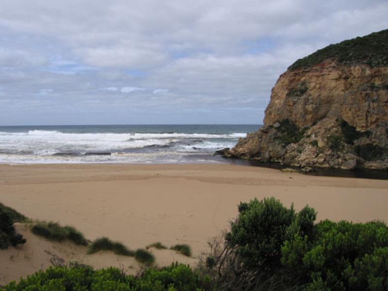
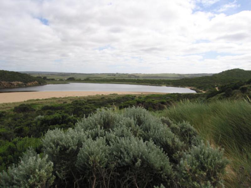
1. Dark discharge around mouth & to the west . Paler colour out to sea (about 50m.) also along shore line to about 1/3 way from mouth.
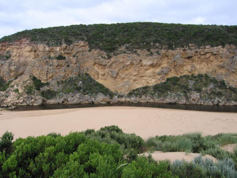
2.Water passing only between rocks and cliff because of sand build up.
3.More sand on east side of entrance, increasing because of longshore dirft. Width of deepest area at mouth 2-3m.- depth 1.- 1.5m.
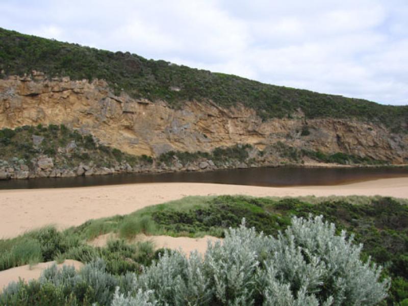
4.Width of channel infront of rocks 5-6m.
More sand in channel 20-30 m upstream of rocks
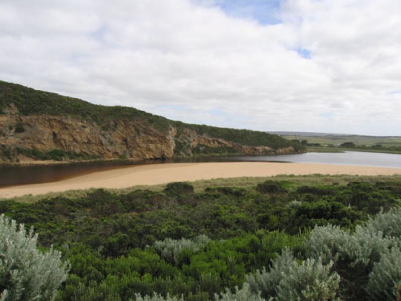
5. 44ml rain upstream from 091127-091204 has assisted flow
We acknowledge and respect Victorian Traditional Owners as the original custodians of Victoria’s land and waters, their unique ability to care for Country and deep spiritual connection to it.
We honour Elders past and present whose knowledge and wisdom has ensured the continuation of culture and traditional practices.
We honour Elders past and present whose knowledge and wisdom has ensured the continuation of culture and traditional practices.
 All content, files, data and images provided by the EstuaryWatch Data Portal subject to a Creative Commons Attribution License
Data portal by CeRDI
All content, files, data and images provided by the EstuaryWatch Data Portal subject to a Creative Commons Attribution License
Data portal by CeRDI