GMC Gellibrand River Estuary Mouth Observation Site
27 November 2009
Observation details
Overview
| Estuary | Gellibrand River Estuary |
|---|---|
| Site | Gellibrand River Estuary Mouth Observation Site |
| Observation ID | #2849 |
| Date and Time | Friday 27th November 2009 12:50pm |
| Approved | Approved |
Notes
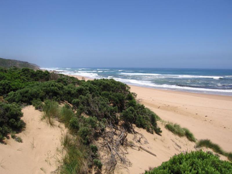
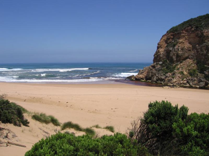
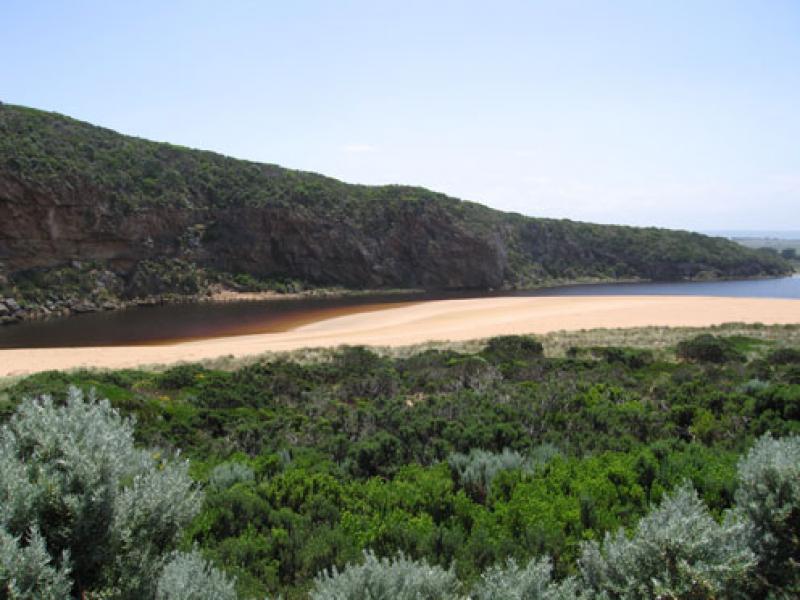
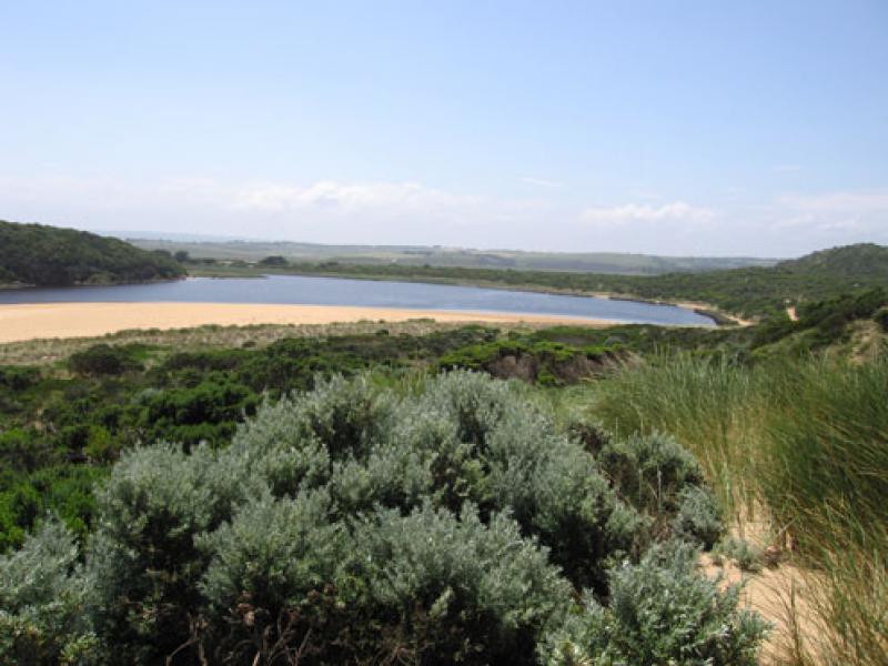
1.Dark reduced discharge around mouth (to about 50m.)and to west.
Paler reduced discharge to east and going out to sea near eastern end of beach. A lot of sand visiable in waves
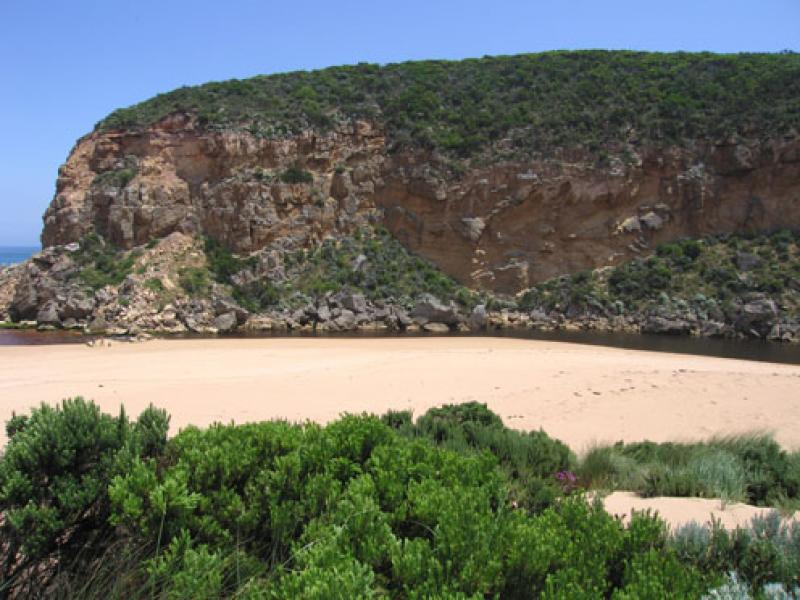
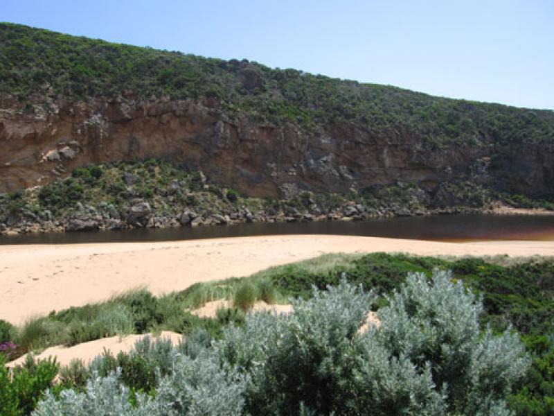
2.Depth at entrance reduced 1m. to 1.5m. Sand build up on east side increasing and more sand behind rocks.(longshore drift) No flow at all on east side
3. water level in estuary higher, many small fish s/e side. Algae forming. Many moth wings along high water mark
4.Large flock of gulls circling beach. 6 dead petrels on high tide mark in estuary.( old remains)
5. Australian lotus plant in flower (rare)
We acknowledge and respect Victorian Traditional Owners as the original custodians of Victoria’s land and waters, their unique ability to care for Country and deep spiritual connection to it.
We honour Elders past and present whose knowledge and wisdom has ensured the continuation of culture and traditional practices.
We honour Elders past and present whose knowledge and wisdom has ensured the continuation of culture and traditional practices.
 All content, files, data and images provided by the EstuaryWatch Data Portal subject to a Creative Commons Attribution License
Data portal by CeRDI
All content, files, data and images provided by the EstuaryWatch Data Portal subject to a Creative Commons Attribution License
Data portal by CeRDI