GMC Gellibrand River Estuary Mouth Observation Site
20 November 2009
Observation details
Overview
| Estuary | Gellibrand River Estuary |
|---|---|
| Site | Gellibrand River Estuary Mouth Observation Site |
| Observation ID | #2823 |
| Date and Time | Friday 20th November 2009 09:05am |
| Approved | Approved |
Notes
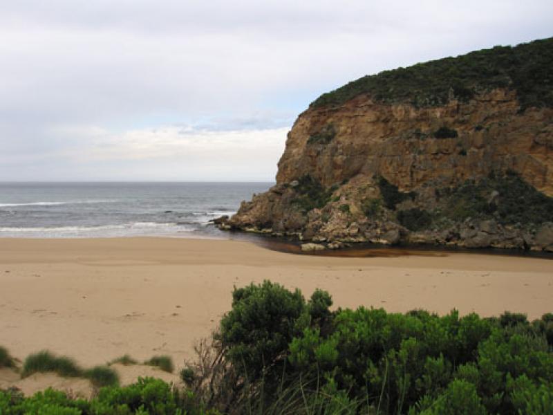
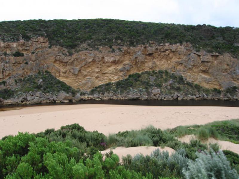
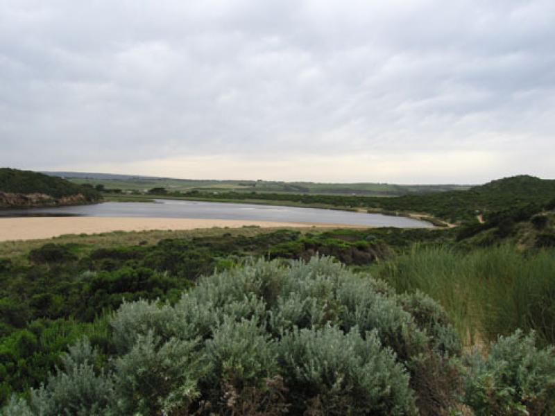
1.Some dark discharge around mouth. Much reduced flow.Channel infront of rocks about 7m.wide, depth decreasing
Sand building up in front & behind rocks (longshore drift).Very large increase behind rocks
2. More sand visiable beach area on eastern side of mouth.
Height of beach has increased -mid beach
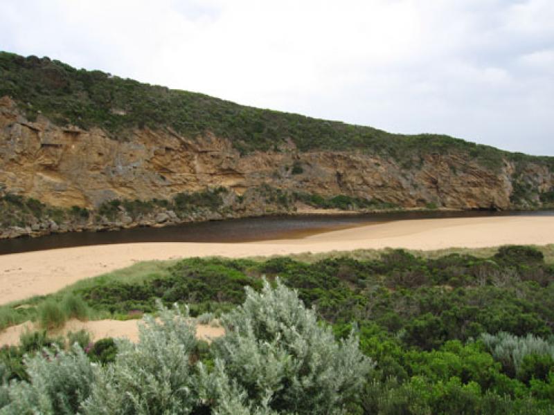
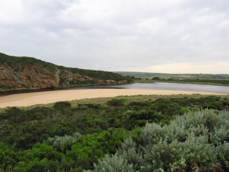
3.more water in estuary,'skin' starting to form over rotting vegetation s/e side. Many small fish 3-5cm in that area
4.Dead Petrel on sand in estuary(near mouth
5.No rain since 2nd & 3rd Nov. - 12ml
We acknowledge and respect Victorian Traditional Owners as the original custodians of Victoria’s land and waters, their unique ability to care for Country and deep spiritual connection to it.
We honour Elders past and present whose knowledge and wisdom has ensured the continuation of culture and traditional practices.
We honour Elders past and present whose knowledge and wisdom has ensured the continuation of culture and traditional practices.
 All content, files, data and images provided by the EstuaryWatch Data Portal subject to a Creative Commons Attribution License
Data portal by CeRDI
All content, files, data and images provided by the EstuaryWatch Data Portal subject to a Creative Commons Attribution License
Data portal by CeRDI